
Park View in Portsmouth, Virginia — The American South (Mid-Atlantic)
James F. Crocker
Photographed by C. Ryan Dodson, April 10, 2026
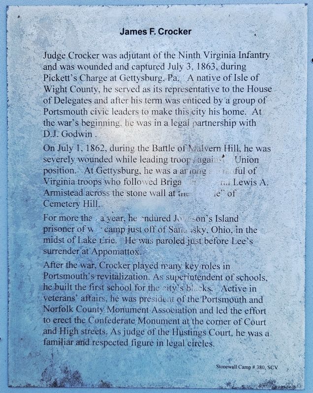
1. James F. Crocker Marker
Judge Crocker was adjutant of the Ninth Virginia Infantry and was wounded and captured July 3, 1863, during Pickett's Charge at Gettysburg, Pa. A native of Isle of Wight County, he served as its representative to the House of Delegates and after his term was enticed by a group of Portsmouth civic leaders to make this city his home. At the war's beginning, he was in a legal partnership with D.J. Godwin.
On July 1, 1862, during the Battle of Malvern Hill, he was severely wounded while leading troop against a Union position. At Gettysburg, he was a among a handful of Virginia troops who followed Brigadier General Lewis A. Armistead across the stone wall at the "Battle" of Cemetery Hill.
For more than a year, he endured Johnson's Island prisoner of war camp just off of Sandusky, Ohio. in the midst of Lake Erie. He was paroled just before Lee's surrender at Appomattox.
After the war, Crocker played many key roles in Portsmouth's revitalization. As superintendent of schools, he built the first school for the city's blacks. Active in veterans' affairs, he was president of the Portsmouth and Norfolk County Monument
this page online
Erected 2008 by Stonewall Camp # 380, SCV (Sons of Confederate Veterans).
Topics and series. This historical marker is listed in these topic lists: Cemeteries & Burial Sites • Education • War, US Civil. In addition, it is included in the Sons of Confederate Veterans/United Confederate Veterans series list. A significant historical year for this entry is 1863.
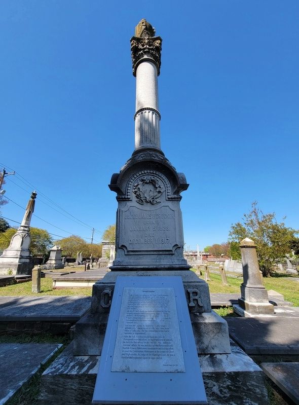
Location. 36° 50.325′ N, 76° 18.484′ W. Marker is in Portsmouth, Virginia. It is in Park View. It can be reached from the intersection of Fort Lane and Holladay Street, on the right when traveling north. The Marker is located in Cedar Grove Cemetery. Touch for map. Marker is at or near this postal address: 301 Fort Lane, Portsmouth VA 23704, United States of America. Touch for directions.

Regionally, this marker is in Virginia’s Hampton Roads, specifically in Coastal Virginia, and in the Hampton Roads Metropolitan Area. It is also in the American South, specifically
Photographed by C. Ryan Dodson, April 10, 2026
2. James F. Crocker Marker
Other nearby markers. At least 8 other markers are within walking distance of this marker: The Sisters of Mercy (a few steps from this marker); Co. G, 9th Va. Infantry Monument (within shouting distance of this marker); John W. H. Porter (within shouting distance of this marker); John Luke Porter (within shouting distance of this marker); Funerary Art (within shouting distance of this marker); Portsmouth Rifles Monument (within shouting distance of this marker); The Portsmouth Cedar Grove Cemetery (within shouting distance of this marker); Charles R. McAlpine, M.D. (within shouting distance of this marker). Touch for a list and map of all markers in Portsmouth.
Photographed by C. Ryan Dodson, April 10, 2026
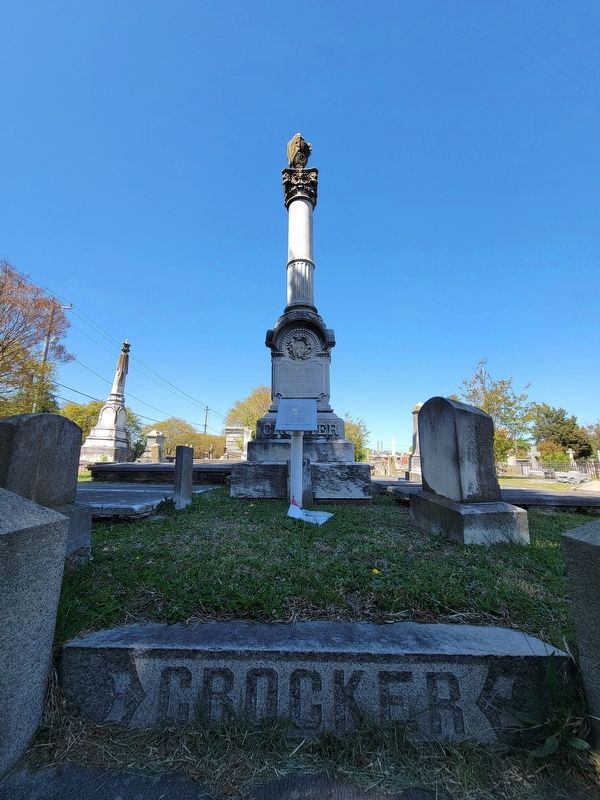
3. James F. Crocker Marker
Photographed by C. Ryan Dodson, April 10, 2026
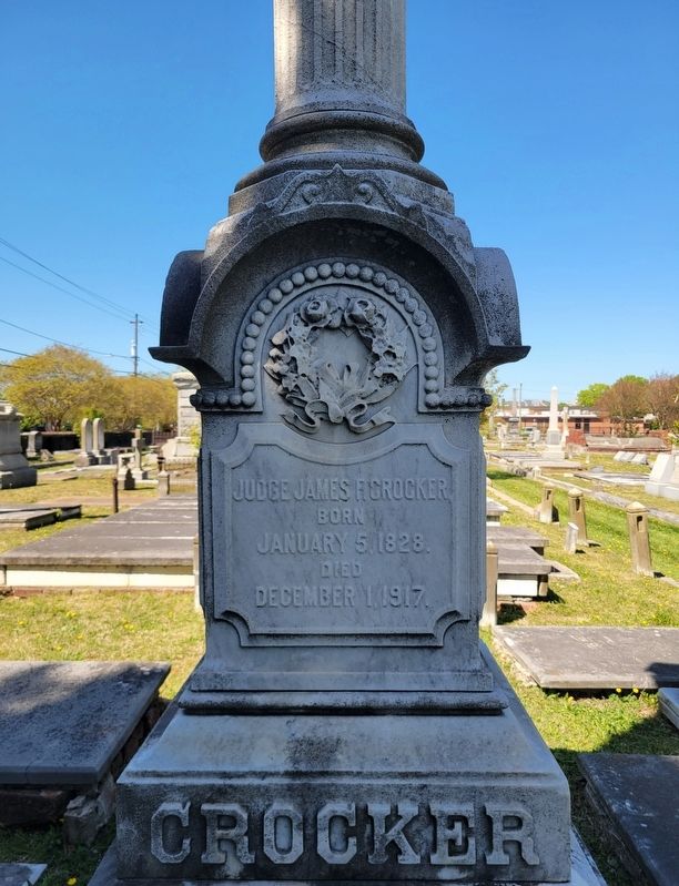
4. James F. Crocker obelisk inscription
Credits. This page was last revised on April 30, 2026. It was originally submitted on April 13, 2026, by C. Ryan Dodson of Danville, Virginia. This page has been viewed 13 times since then. Photos: 1, 2, 3, 4. submitted on April 13, 2026, by C. Ryan Dodson of Danville, Virginia. • Devry Becker Jones was the editor who published this page.
