Crow Wing State Park in Crow Wing County, Minnesota — The American Midwest (Upper Plains)
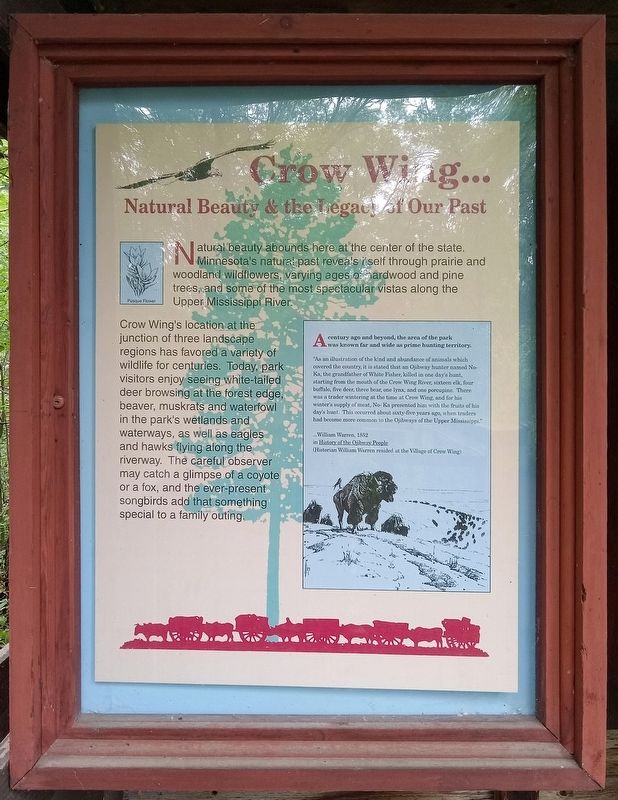
Crow Wing…
Natural Beauty & the Legacy of Our Past
Photographed by McGhiever, June 27, 2025
1. Crow Wing… Natural Beauty & the Legacy of Our Past Marker
Pasque Flower
Natural beauty abounds here at the center of the state. Minnesota's natural past reveals itself through prairie and woodland wildflowers, varying ages of hardwood and pine trees, and some of the most spectacular vistas along the Upper Mississippi River.
Crow Wing's location at the junction of three landscape regions has favored a variety of wildlife for centuries. Today, park visitors enjoy seeing white-tailed deer browsing at the forest edge, beaver, muskrats and waterfowl in the park's wetlands and waterways, as well as eagles and hawks flying along the riverway. The careful observer may catch a glimpse of a coyote or a fox, and the ever-present songbirds add that something special to a family outing.
A century ago and beyond, the area of the park was known far and wide as prime hunting territory.
"As an illustration of the kind and abundance of animals which covered the country, it is stated that an Ojibway hunter named No-Ka, the grandfather of White Fisher, killed in one day's hunt, starting from the mouth of the Crow Wing River, sixteen elk, four buffalo, five deer, three bear, one lynx, and one porcupine. There was a trader wintering at the time at Crow Wing, and for his winter's supply of meat, No-Ka presented him with the fruits of his day's hunt. This occurred sixty-five years ago, when traders had become more common to the Ojibways of the Upper Mississippi."
…William Warren, 1852
in History of the Ojibway People
(Historian William Warren resided at the Village of Crow Wing)
Erected by the
this page online
Topics. This historical marker is listed in these topic lists: Animals • Environment • Indigenous Peoples and Communities.
Location. 46° 16.407′ N, 94° 19.965′ W. Marker is near Crow Wing, Minnesota, in Crow Wing County. It is in Crow Wing State Park. It can be reached from the road to the campground north of State Park Road (County Road 27), on the left when traveling north. The marker is in the Wildflower Discovery Garden just northwest of the visitor contact station. Touch for map. Marker is at or near this postal address: 3097 State Park Rd, Brainerd MN 56401, United States of America. Touch for directions.

Regionally, this marker is in the Northland. It is also in the American Midwest, in the Corn Belt, and in the Great River Road Region. Globally, it is in North America, the Great North Woods, the Western Hemisphere, the Western World, and the Anglosphere. Historically, it finds itself in what was once Rupert’s Land, the territory of the Mississippian Culture, and the Northwest Territory.
Other nearby markers. At
Photographed by McGhiever, June 27, 2025
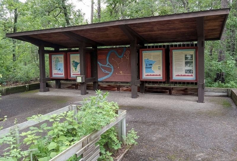
2. Crow Wing marker (far left) in the park's Wildflower Discovery Garden
Credits. This page was last revised on April 16, 2026. It was originally submitted on April 16, 2026, by McGhiever of Minneapolis, Minnesota. This page has been viewed 11 times since then. Photos: 1. submitted on April 16, 2026, by McGhiever of Minneapolis, Minnesota. 2. submitted on February 1, 2026, by McGhiever of Minneapolis, Minnesota.
