St. Mary's City in St. Mary's County, Maryland — The American Northeast (Mid-Atlantic)
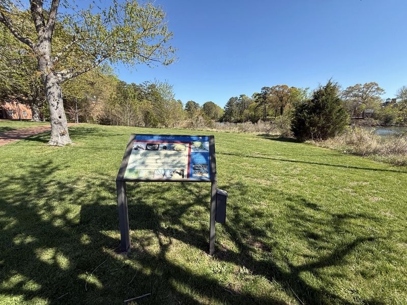
Riverfront Habitat
St. Mary's College of Maryland at Historic St. Mary's City
| — | The Public Honors College | — |

St. Mary's College of Maryland is the first college in Maryland to be certified by the Audubon International's Cooperative Sanctuary Program. This means we're committed to managing our campus in an environmentally sensitive manner. We use innovative practices like bat houses and purple martin birdhouses to help control pests naturally. By managing stormwater runoff, using organic fertilizers, and creating green spaces, we encourage wildlife habitat and contribute to the health of the ecosystem.
The St. Mary's River flows to the Potomac which joins the great Chesapeake Bay at Point Lookout six nautical miles south. An abundance of sea foods and forest animals sustained Native Americans for millennia and fed the denizens of the Maryland capital in the 17th century. Today, at least 22 species of wildlife and five varieties of grasses rely on this habitat, as well as a community of sailors, watermen, and research students. St. Mary's College has roots on this landscape dating to 1840.
Bottlenose dolphins have been sighted playing in the river. In the spring and summer, watch for a pair of bald eagles soaring overhead
this page online
Storms, erosion, runoff, and disease throughout the Chesapeake Bay watershed have taken their toll on underwater plants and animals. Because the ecological health of Maryland's waterways is threatened, what we do here today matters. Our eelgrass restoration projects and stormwater filtration systems can make a difference. Be thoughtful and leave no trace of your visit. (Wildlife photography by Jay Penn Fleming '09. Foliage illustrations by Emily Bzdyk '08.)
Erected by St. Mary's College of Maryland.
Topics. This historical marker is listed in these topic lists: Animals • Education • Environment • Waterways & Vessels. A significant historical year for this entry is 1840.
Location. 38° 11.37′ N, 76° 25.897′ W. Marker is in St. Mary's City, Maryland, in St. Mary's County. It is on Point Lookout Road (Maryland Route 5) south of Yaocomaco Drive, on the right when traveling north. Touch for map. Marker

Regionally, this marker is in Southern Maryland. It is also in the American South, specifically in the Upper South, in the Mid-Atlantic, in the Tidewater, in the Chesapeake Bay Region, and on the Eastern Seaboard. Globally, it is in the North Atlantic Region, North America, the Western Hemisphere, the Western World, and the Anglosphere. Historically, it finds itself in what was once one of the original Thirteen Colonies and also the Antebellum South.
Other nearby markers. At least 8 other markers are within walking distance of this marker: St. Mary's College of Maryland (about 400 feet away, measured in a direct line); Maryland’s Pride and Glory (about 500 feet away); St. Mary's Female Seminary (about 500 feet away); Margaret Brent Pilgrimage (about 600 feet away); a different marker also named St. Mary's College of Maryland (about 700 feet away); Relax Awhile! (about 800 feet away); Entrance to St. John's Museum (about 800 feet away); Welcome to St. John's (approx. 0.2 miles away). Touch for a list and map of all markers in St. Mary's City.
Credits. This page was last revised on April 17, 2026. It was originally submitted on April 17, 2026, by Devry Becker Jones of Washington, District of Columbia. This page has been viewed 13 times since then. Photos: 1, 2. submitted on April 17, 2026, by Devry Becker Jones of Washington, District of Columbia.
