
Beersheba Springs in Grundy County, Tennessee — The American South (East South Central)
Welcome to Beersheba Springs
Tennessee’s South Cumberland Mountains of Adventure
Photographed by Tom Bosse, April 12, 2026
1. Welcome to Beersheba Springs Marker
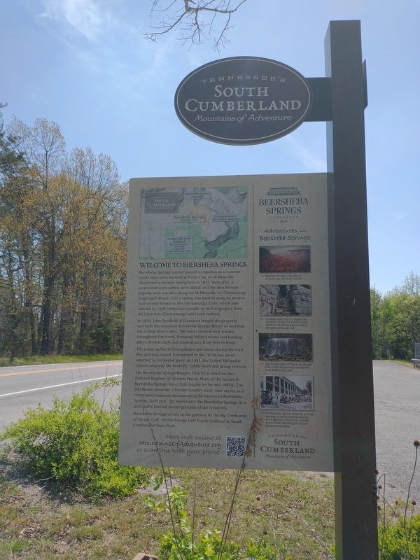
Beersheba Springs quickly gained recognition as a summer resort town after Beersheba Port Cain of McMinnville discovered a mineral spring here in 1833. Soon after, a tavern and some cabins were added, and the area became popular with travelers along the McMinnville-to-Chattanooga Stagecoach Route. Cain’s spring was located along an ancient trail system known as the Chickamauga Trace, which was utilized by early indigenous people, as well as peoples from the Cherokee, Chickamauga and Creek nations.
In 1854, John Armfield of Louisiana bought property and built the luxurious Beersheba Springs Resort to overlook the Collins River valley. The resort became well-known throughout the South, featuring billiard rooms and bowling alleys, French chefs and musical acts from New Orleans.
The resort suffered from pillages and abuse during the Civil War and was closed. It reopened in the 1870s but never returned to its former glory. In 1941, the United Methodist Church acquired the hotel for conferences and group retreats.
The Beersheba Springs Historic District is listed on the National Register of Historic Places. Many of
this page online
Beersheba Springs serves as the gateway to the Big Creek area of Savage Gulf, via the Savage Gulf North trailhead in South Cumberland State Park.
Adventures in Beersheba Springs
>>>> Beersheba Springs is the gateway to the Savage Gulf North trailhead.
>>>> The Great Stone Door is a unique formation, a crack in the bluff through which you can access miles of trails at the bottom of Savage Gulf.
>>>> Take the Big Creek Gulf trail to see Ranger Falls, a huge disappearing waterfall that flows directly into a cave.
>>>> The Beersheba Springs Assembly, a retreat operated by the Tennessee Conference of the Methodist Church, which was originally a resort hotel, attracting patrons across the Southeast.
Topics. This historical marker is listed in these topic lists: Indigenous Peoples and Communities • Parks & Recreational Areas
Photographed by Tom Bosse, April 12, 2026
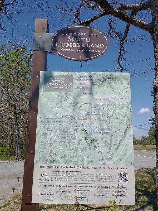
2. Welcome to Beersheba Springs Marker (Back)
Location. 35° 28.039′ N, 85° 39.922′ W. Marker is in Beersheba Springs, Tennessee, in Grundy County. It is at the intersection of Tennessee Route 56 and Backbone Road, on the right when traveling east on Tennessee Route 56. Touch for map. Marker is at or near this postal address: 19224 TN-56, Beersheba Springs TN 37305, United States of America. Touch for directions.

Regionally, this marker is in Tennessee’s Cumberland Plateau and in the Highland Rim. It is also in the American South, specifically in the Upper South, in Appalachia, and specifically in Southern Appalachia. Globally, it is in North America, the Western Hemisphere, the Western World, and the Anglosphere. Historically, it finds itself in what was once the territory of the Mississippian Culture, one of the Confederate States of America, and the Antebellum South.
Other nearby markers. At least 8 other markers are within 5 miles of this marker, measured as the crow flies: Beersheba Springs Historic District (here, next to this marker); Veterans Memorial (a few steps from this
Photographed by Tom Bosse, April 12, 2026
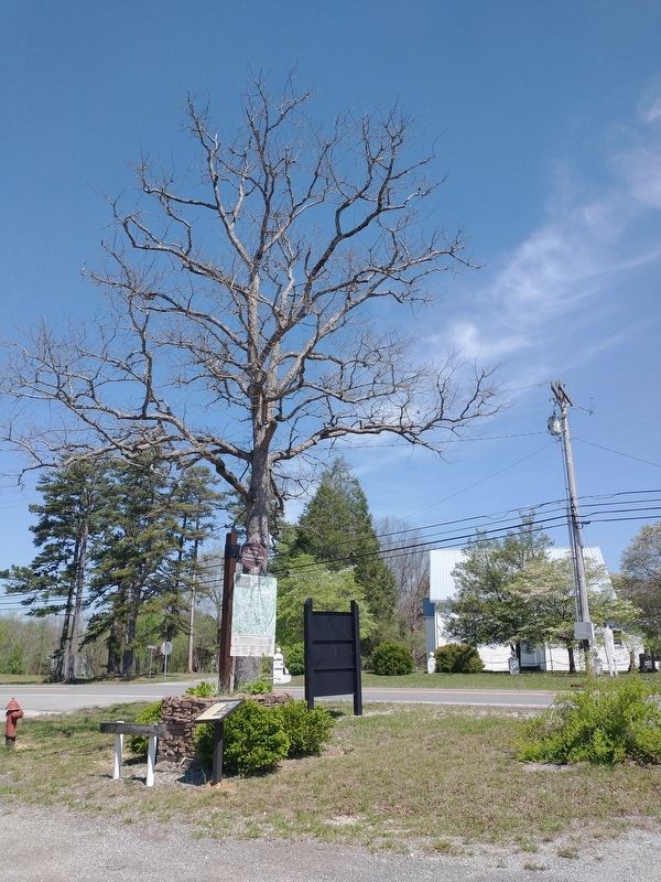
3. Welcome to Beersheba Springs Marker
Another marker is no longer nearby. Forrest's Murfreesboro Raid (was approx. 0.7 miles away but has been confirmed missing).
Credits. This page was last revised on April 24, 2026. It was originally submitted on April 18, 2026, by Tom Bosse of Jefferson City, Tennessee. This page has been viewed 23 times since then. Photos: 1, 2, 3. submitted on April 18, 2026, by Tom Bosse of Jefferson City, Tennessee. • James Hulse was the editor who published this page.
