Near Pasco in Franklin County, Washington — The American West (Northwest)
Sacagawea
Photographed by Paul Crumlish, July 31, 2010
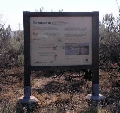
1. Sacagawea Marker
The Lewis and Clark Expedition camped nearby on October 16 and 17, 1805 on its way to the Pacific Ocean. One of the members of the Expedition was a young Northern Shoshone, Sacagawea.
During the winter of 1804-05 at Fort Mandan, in present-day North Dakota , Captains Meriwether Lewis and William Clark hired Sacagawea’s French-Canadian husband, Toussaint Charbonneau, as an interpreter. Sacagawea would accompany him as the Expedition’s “interpretess,” as termed in the captains’ journals.
Sacagawea has been celebrated as a guide who bravely led the Expedition up the Missouri River, over the Rocky Mountains, and down the Snake and Columbia rivers to the Pacific Ocean, while caring for her infant son and husband. Expedition journals, however, reveal Sacagawea as an interpreter and food gatherer, symbol of friendship, and link to her own tribe. Although not a guide for the entire journey, she did recognize landmarks in the lands of her own people in the Rocky Mountains.
In 1931, the nearby state park was named in her honor.
Erected by Washington State Department of Transportation.
Topics and series. This historical
this page online
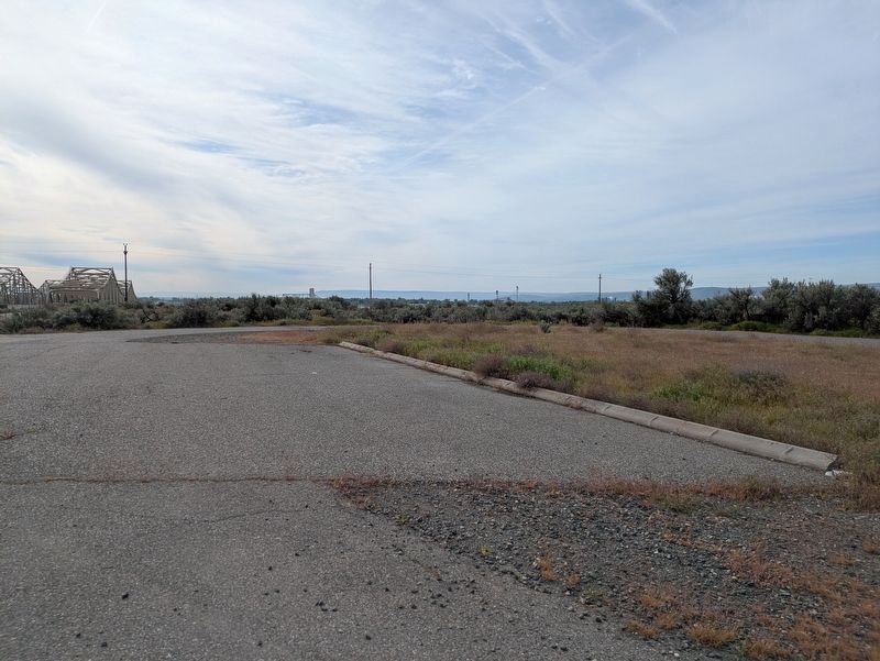
Location. Marker is missing. It was located near 46° 13.092′ N, 119° 1.624′ W. Marker was near Pasco, Washington, in Franklin County. It could be reached from the intersection of Sacajawea Park Road and U.S. 12, on the left when traveling east. The marker stands in the middle of a scenic parking area on the left hand side of Sacajawea Park Road just south of US-12. Touch for map. Marker was at or near this postal address: 20 Sacajawea Park Rd, Pasco WA 99301, United States of America. Touch for directions.

Regionally, this marker was in the Columbia Basin. It was also in the American Mountain West and in the Lewis & Clark Corridor. Globally, it was in North America, on the Pacific Rim, in the Western Hemisphere, in the Western World, and in the Anglosphere.
Other nearby markers. At least 8 other markers are within 2 miles of this location, measured as the crow flies: Before This Was a Park (approx. 0.6
Photographed by Paul Crumlish, July 31, 2010
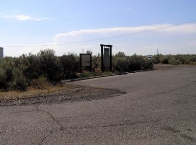
2. Wide view of the Sacagawea Marker
Near the Sacajawea State Park, the Sacagawea marker (left) stands next to the Ainsworth marker.
Another marker is no longer nearby. Ainsworth (was here, next to this marker but has been confirmed missing).
Photographed by Paul Crumlish, July 31, 2010
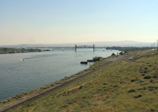
3. The confluence of the Snake and Columbia Rivers
The Lewis and Clark Expedition camped at the site of the present day Sacajawea State Park. The park is visible as the wooded point of land on the right where Snake River flows into the Columbia River.
Photographed by Clayton Pickett, April 18, 2026
4. Former location of Sacagawea Marker
Credits. This page was last revised on April 22, 2026. It was originally submitted on November 30, 2010, by PaulwC3 of Northern, Virginia. This page has been viewed 1,575 times since then and 67 times this year. Last updated on April 18, 2026, by Clayton Pickett of Richland, Washington. Photos: 1, 2, 3. submitted on November 30, 2010, by PaulwC3 of Northern, Virginia. 4. submitted on April 18, 2026, by Clayton Pickett of Richland, Washington. • Devry Becker Jones was the editor who published this page.
