Anacostia Park in Southeast Washington in Washington, District of Columbia — The American Northeast (Mid-Atlantic)
Assassin's Trail
Anacostia Park
| — | National Park Service, U.S. Department of the Interior | — |
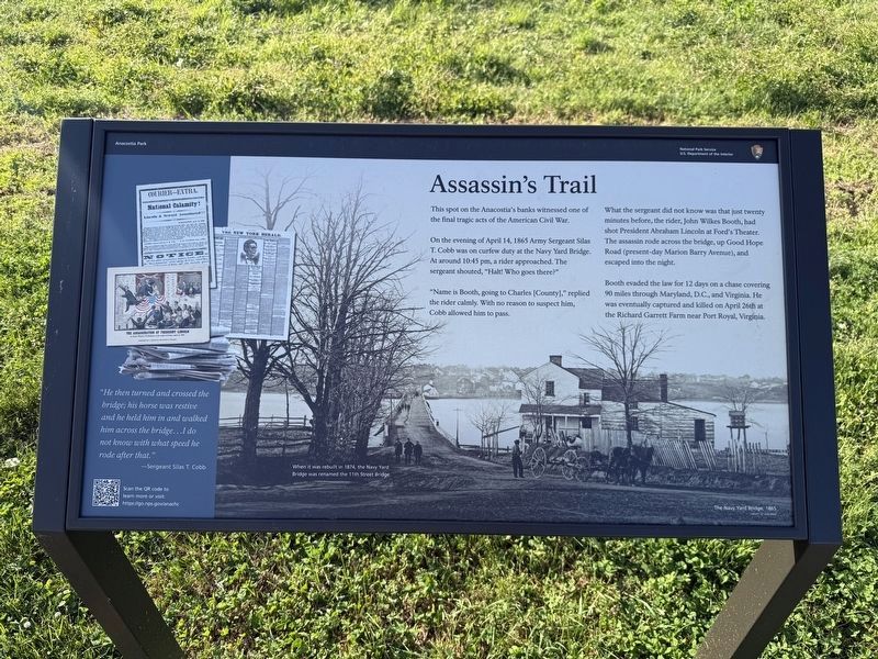
"He then turned and crossed the bridge; his horse was restive and he held him in and walked him across the bridge…I do not know with what speed he rode after that."
—Sergeant Silas T. Cobb
This spot on the Anacostia's banks witnessed one of the final tragic acts of the American Civil War.
On the evening of April 14, 1865 Army Sergeant Silas T. Cobb was on curfew duty at the Navy Yard Bridge. At around 10:45 pm, a rider approached. The sergeant shouted, "Halt! Who goes there?"
"Name is Booth, going to Charles [County]," replied the rider calmly. With no reason to suspect him, Cobb allowed him to pass.
What the sergeant did not know was that just twenty minutes before, the rider, John Wilkes Booth, had shot President Abraham Lincoln at Ford's Theater. The assassin rode across the bridge, up Good Hope Road (present-day Marion Barry Avenue), and escaped into the night.
Booth evaded the law for 12 days on a chase covering 90 miles through Maryland, D.C., and Virginia. He was eventually captured and killed on April 26th at the Richard Garrett Farm near Port Royal, Virginia.
Erected by National Park Service,
this page online
Topics and series. This historical marker is listed in these topic lists: Roads & Vehicles • War, US Civil. In addition, it is included in the Booth's Escape series list. A significant historical date for this entry is April 14, 1865.
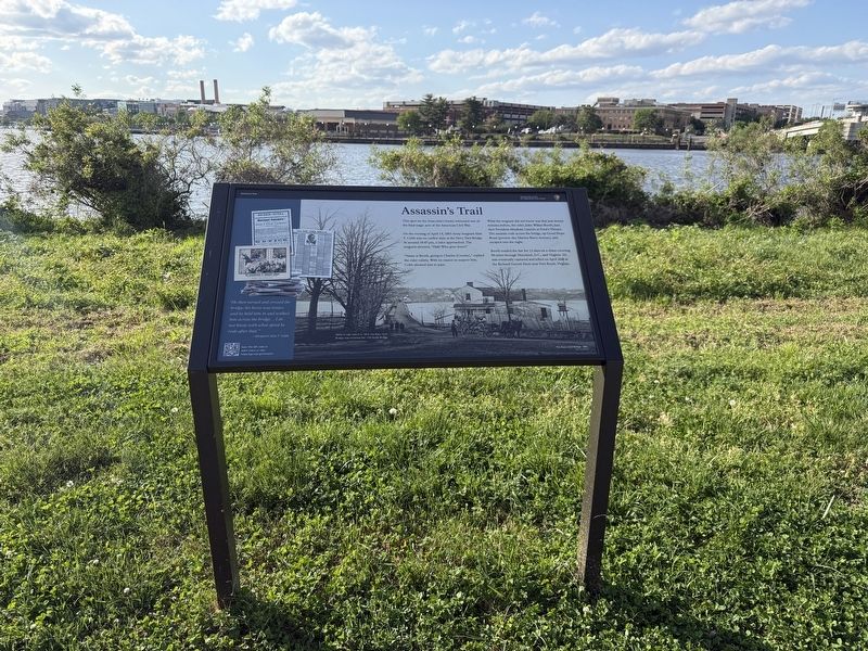
Location. 38° 52.184′ N, 76° 59.432′ W. Marker is in Southeast Washington in Washington, District of Columbia. It is in Anacostia Park. It is on Anacostia Drive Southeast north of Marion Barry Avenue Southeast, on the left when traveling north. Touch for map. Marker is at or near this postal address: 1106 Marion Barry Ave SE, Washington DC 20020, United States of America. Touch for directions.

Regionally, this marker is in the Washington Metropolitan Area. It is also in the American Northeast, in the Upper South, in the Mid-Atlantic, in the Tidewater, and in the Chesapeake Bay Region. Globally, it is in North America, the Western Hemisphere, the Western World, and the Anglosphere.
Other nearby markers. At least 8 other markers are within walking distance of this marker: Out of Segregation (within shouting distance of this marker); Armaments & Aircraft (about 400
Credits. This page was last revised on April 19, 2026. It was originally submitted on April 19, 2026, by Devry Becker Jones of Washington, District of Columbia. This page has been viewed 18 times since then. Photos: 1, 2. submitted on April 19, 2026, by Devry Becker Jones of Washington, District of Columbia.
