
Allen Township near Northampton in Northampton County, Pennsylvania — The American Northeast (Mid-Atlantic)
Hockendauqua Indian Town
Photographed by Laura Klotz
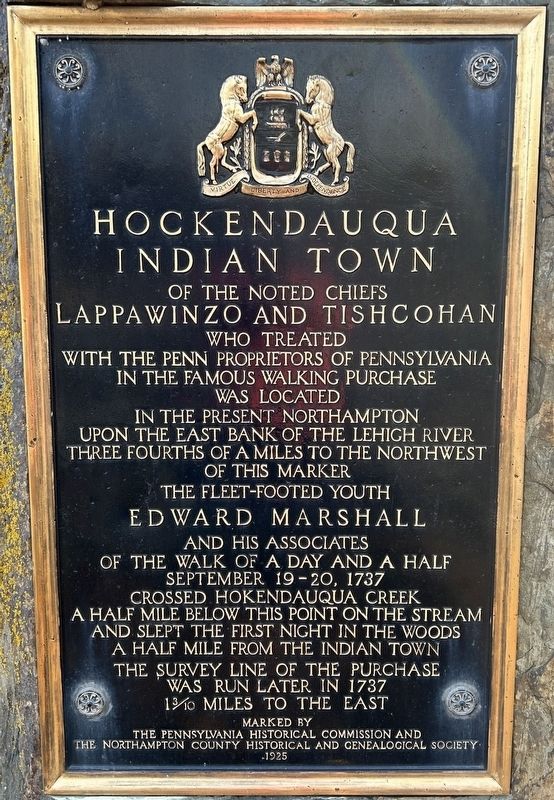
1. Hockendauqua Indian Town Marker
Hockendauqua Indian Town of the noted Chiefs Lappawinzo and Tishcohan who treated with the Penn proprietors of Pennsylvania, in the famous Walking Purchase, was located in the present Northampton upon the east bank of the Lehigh River three-fourths of a mile to the northwest of this marker. The fleet-footed youth Edward Marshall and his associates of the walk of a day and a half September 19-20, 1737 crossed Hokendauqua creek a half mile below this point on the stream and slept the first night in the woods a half mile from the Indian Town. The survey line of the purchase was run later in 1737 1 3/10 miles to the east.
Erected 1925 by Pennsylvania Historical & Museum Commission.
Topics and series. This historical marker is listed in these topic lists: Colonial Era • Exploration • Indigenous Peoples and Communities • Settlements & Settlers. In addition, it is included in the Pennsylvania Historical and Museum Commission (PHMC) series list. A significant historical year for this entry is 1737.
Location. 40° 41.661′ N, 75° 29.457′ W. Marker is near Northampton, Pennsylvania, in Northampton County. It is
this page online

Regionally, this marker is in Southeast Pennsylvania and in Lehigh Valley. It is also in the American Northeast and in the Mid-Atlantic. Globally, it is in North America, the Western Hemisphere, the Western World, and the Anglosphere. Historically, it finds itself in what was once the Haudenosaunee (Iroquois) Confederacy and also one of the original Thirteen Colonies.
Other nearby markers. At least 8 other markers are within 2 miles of this marker, measured as the crow flies: Colonel John Siegfried (approx. 0.6 miles away); Walking Purchase (approx. 0.7 miles away); World War Memorial (approx. one mile away); The Schoefer Kilns (approx. 1.2 miles away); Lehigh Valley Rock Suitable for Hydraulic Cement (approx. 1.2 miles away); Discovery of Portland Cement (approx. 1.2 miles away); Saving the Kilns (approx. 1.3 miles away); Last of Their Kind (approx. 1.3 miles away). Touch for a list and map of all markers in Northampton.
Another marker is no longer nearby. Coplay Made Cement: Cement Made Coplay (was approx. 1.3 miles away but has been confirmed missing).
Also see . . . MarkerQuest - Hockendauqua Indian Town. (Submitted on April 23, 2026, by Laura Klotz of Northampton, Pennsylvania.)
Credits. This page was last revised on April 24, 2026. It was originally submitted on April 22, 2026, by Laura Klotz of Northampton, Pennsylvania. This page has been viewed 31 times since then. Photo 1. submitted on April 22, 2026, by Laura Klotz of Northampton, Pennsylvania. • Devry Becker Jones was the editor who published this page.
