Guilford in Windham County, Vermont — The American Northeast (New England)
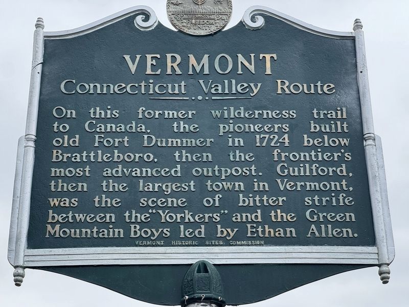
Vermont
Connecticut Valley Route
Photographed by Rod Funston, April 22, 2026
1. Vermont Marker
On this former wilderness trail to Canada, the pioneers built old Fort Dummer in 1724 below Brattleboro, then the frontier’s most advanced outpost. Guilford, then the largest town in Vermont, was the scene of bitter strife between the “Yorkers” and the Green Mountain Boys led by Ethan Allen.
Topics. This historical marker is listed in these topic lists: Colonial Era • Roads & Vehicles • Settlements & Settlers. A significant historical year for this entry is 1724.
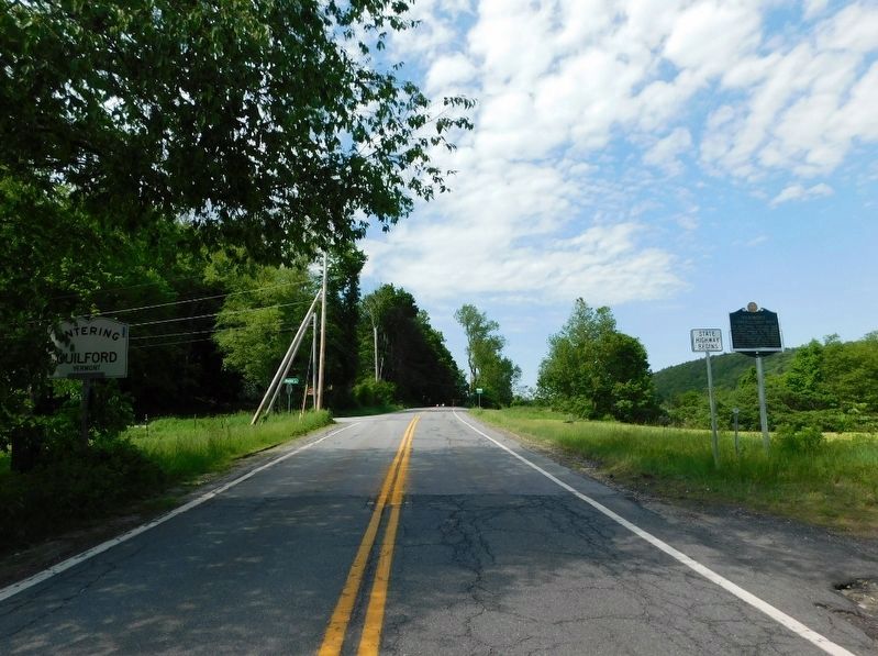
Location. 42° 43.809′ N, 72° 34.384′ W. Marker is in Guilford, Vermont, in Windham County. It is at the intersection of Brattleboro Road (U.S. 5) and E Mountain Road, on the right when traveling north on Brattleboro Road. Touch for map. Marker is in this post office area: Brattleboro VT 05301, United States of America. Touch for directions.

Regionally, this marker is in the Connecticut River Valley, in the Green Mountains, and in Southern Vermont. It is also in the American Northeast and in New England. Globally, it is in North America, the Western Hemisphere, the Western World, and the Anglosphere. Historically, it finds itself in what was
this page online
Other nearby markers. At least 8 other markers are within 4 miles of this marker, measured as the crow flies: Connable Fort (approx. 1½ miles away in Massachusetts); Burke Fort (approx. 2.8 miles away in Massachusetts); Deacon Ebenezer Sheldon's Fort (approx. 3.3 miles away in Massachusetts); Pond Road Chapel (approx. 3.4 miles away); a different marker also named Pond Road Chapel (approx. 3.4 miles away); The Dam at Franklin Pond (approx. 3½ miles away); George's Mill (approx. 3.7 miles away); a different marker also named George's Mill (approx. 3.7 miles away).
Photographed by Jimmy Emerson, 2022
2. Vermont Marker
Credits. This page was last revised on May 20, 2026. It was originally submitted on April 22, 2026, by Rod Funston of Eastham, Massachusetts. This page has been viewed 30 times since then. Photos: 1. submitted on April 22, 2026, by Rod Funston of Eastham, Massachusetts. 2. submitted on May 16, 2026, by Jimmy Emerson of Dalton, Georgia. • Michael Herrick was the editor who published this page.
