
Montpelier Station in Orange County, Virginia — The American South (Mid-Atlantic)
Madison Farm Complex
1760s - 1840s
Photographed by Michael C. Wilcox, July 30, 2012
1. Madison Farm Complex Marker
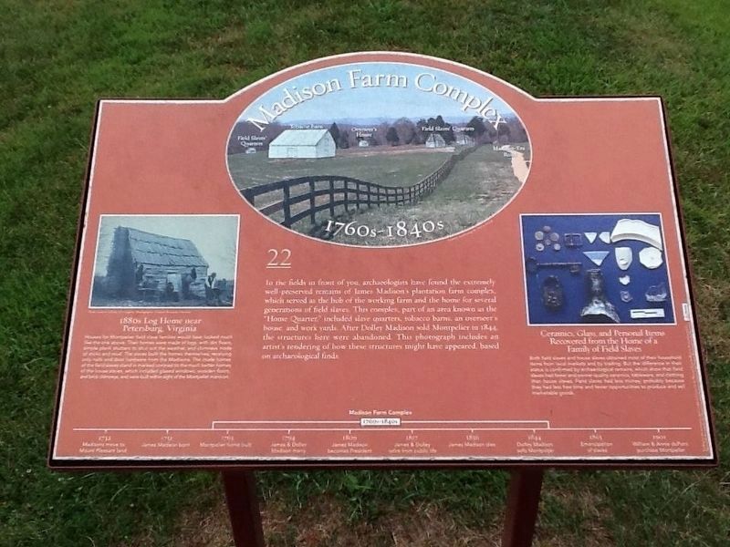
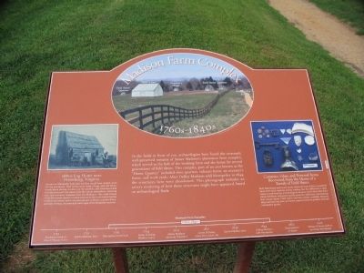
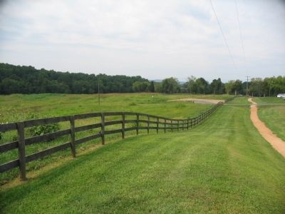
In the fields in front of you, archaeologists have found the extremely well-preserved remains of James Madison's plantation farm complex, which served as the hub of the working farm and the home for several generations of field slaves. This complex, part of an area known as the "Home Quarter," included slave quarters, tobacco barns, an overseer's house, and work yards. After Dolley Madison sold Montpelier in 1844, the structures here were abandoned. This photograph includes an artist's rendering of how these structures might have appeared, based on archaeological finds.
1880s Log Home near Petersburg, Virginia
Houses for Montpelier field slave families would have looked much like the one above. Their homes were made of logs, with dirt floors, simple plank shutters to shut out the weather, and chimneys made of sticks and mud. The slaves built the homes themselves, receiving only nails and door hardware from the Madisons. The crude homes of the field slaves stand in marked contrast to the much better homes of the house slaves, which included glazed windows, wooden floors, and brick chimneys, and were built within sight of
this page online
Ceramics, Glass, and Personal Items Recovered from the Home of a Family of Field Slaves
Both field and house slaves obtained most of their household items from local markets and by trading. But the difference in their status is confirmed by archaeological remains, which show that field slaves had fewer and poorer-quality ceramics, tableware, and clothing than house slaves. Field slaves had less money, probably because they had less free time and fewer opportunities to produce and sell marketable goods. (Marker Number 22.)
Topics and series. This historical marker is listed in these topic lists: African Americans • Agriculture • Anthropology & Archaeology • Settlements & Settlers. In addition, it is included in the Former U.S. Presidents: #04 James Madison series list. A significant historical year for this entry is 1844.
Location. This marker has been replaced by another marker nearby. It was located near 38° 13.019′ N, 78° 10.181′ W. Marker was in Montpelier Station, Virginia, in Orange County. It was on Coney Island Road, on the right when traveling south. Located along a service road on the Montpelier
Photographed by Craig Swain, September 6, 2009
2. Madison Farm Complex Marker

Regionally, this marker was in Northern Virginia and in the Piedmont. It was also in the American South and specifically in the Upper South. Globally, it was in North America, the Western Hemisphere, the Western World, and the Anglosphere. Historically, it found itself in what was once the territory of the Mississippian Culture, one of the original Thirteen Colonies, one of the Confederate States of America, and the Antebellum South.
Other nearby markers. At least 6 other markers are within walking distance of this location: Madison's Farm Complex (within shouting distance of this marker); a different marker also named Madison's Farm Complex (about 500 feet away, measured in a direct line); Garden (about 600 feet away); Home Farm Complex (approx. 0.2 miles away); Mount Pleasant (approx. ¼ mile away); Dolley Madison (approx. 0.9 miles away). Touch for a list and map of all markers in Montpelier Station.
Other markers no longer nearby. The Quarters (was
Photographed by Craig Swain, September 6, 2009
3. Madison Farm Complex Marker
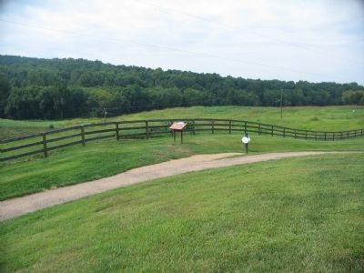
More about this marker. Illustrations on the marker include a photo of the farm area with an artist's depiction
Photographed by Craig Swain, September 6, 2009
4. The Farm Complex Area
Credits. This page was last revised on April 23, 2026. It was originally submitted on November 3, 2009, by Craig Swain of Leesburg, Virginia. This page has been viewed 978 times since then and 21 times this year. Last updated on April 22, 2026, by Evan Dwyer of Richmond, Virginia. Photos: 1. submitted on November 26, 2016, by Michael C. Wilcox of Winston-Salem, North Carolina. 2, 3, 4. submitted on November 3, 2009, by Craig Swain of Leesburg, Virginia. • Devry Becker Jones was the editor who published this page.
