Fredericksburg, Virginia — The American South (Mid-Atlantic)
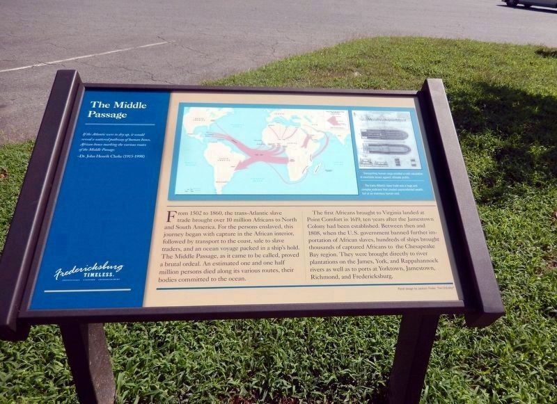
The Middle Passage
Fredericksburg: Timeless.
Photographed by Don Morfe, August 18, 2016
1. The Middle Passage Marker
If the Atlantic were to dry up, it would reveal a scattered pathway of human bones, African bones marking the various routes of the Middle Passage.
-Dr. John Henrik Clarke (1915-1998)
From 1502 to 1860, the trans-Atlantic slave trade brought over 10 million Africans to North and South America. For the persons enslaved, this journey began with capture in the African interior, followed by transport to the coast, sale to slave traders, and an ocean voyage packed in a ship’s hold. The Middle Passage, as it came to be called, proved a brutal ordeal. An estimated one and one half million persons died along its various routes, their bodies committed to the ocean.
The first Africans brought to Virginia landed at Point Comfort n 1619, ten years after the Jamestown Colony had been established. Between then and 1808, when the U.S. government banned further importation of African slaves, hundreds of ships brought thousands of captured Africans to the Chesapeake Bay region. They were brought directly to river plantations on the James, York, and Rappahannock rivers as well as to ports at Yorktown, Jamestown, Richmond, and Fredericksburg.
[Captions:]
Transporting human cargo entailed a cold calculation of inevitable losses against ultimate profits.
The trans-Atlantic slave trade was a huge and complex endeavor that created unprecedented wealth, but at an enormous human cost.
Erected by Fredericksburg
this page online
Topics and series. This historical marker is listed in these topic lists: African Americans • Colonial Era • Industry & Commerce • Waterways & Vessels. In addition, it is included in the Virginia, Fredericksburg: Timeless. series list. A significant historical year for this entry is 1502.
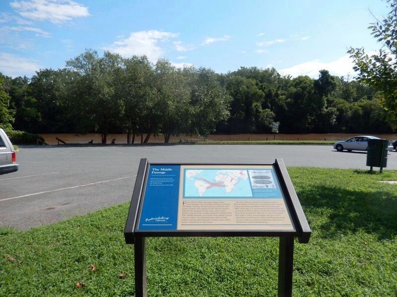
Location. 38° 17.812′ N, 77° 27.236′ W. Marker is in Fredericksburg, Virginia. It can be reached from Sophia Street 0.2 miles south of Frederick Street, on the left when traveling south. This marker stands on the grounds of the City Dock Park. Touch for map. Marker is at or near this postal address: 101 Sophia Street, Fredericksburg VA 22401, United States of America. Touch for directions.

Regionally, this marker is in the Washington Metropolitan Area and in Northern Virginia. It is also in the American South and specifically in the Upper South. Globally, it is in North America, the Western Hemisphere, the Western World, and the Anglosphere. Historically, it finds itself in what was once the territory of the Mississippian Culture, one of the original Thirteen Colonies, one of the Confederate
Photographed by Don Morfe, August 18, 2016
2. The Middle Passage Marker
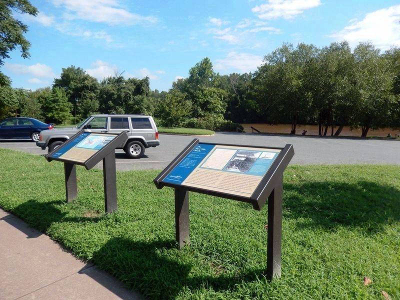
Other nearby markers. At least 8 other markers are within walking distance of this marker: The Slave Ship Othello (here, next to this marker); No Outlet (here, next to this marker); Irish Brigade (within shouting distance of this marker); Eyewitness To Battle (within shouting distance of this marker); Washington's Boyhood Home (within shouting distance of this marker); Rocky Lane (within shouting distance of this marker); George Washington’s Boyhood Home at Ferry Farm (about 300 feet away, measured in a direct line); Fredericksburg's Wharves and Harbor (about 300 feet away). Touch for a list and map of all markers in Fredericksburg.
Other markers no longer nearby. Fredericksburg City Dock (was within shouting distance of this marker but has been permanently removed); a different marker also named Fredericksburg City Dock (was within shouting distance of this marker but has been permanently removed); a different marker also named Fredericksburg City Dock (was within shouting distance of this marker but has been permanently removed).
Regarding The Middle Passage. MPCPMP contributed
Photographed by Don Morfe, August 18, 2016
3. The Middle Passage Marker-The marker on the left.
Additional keywords. Middle Passage Ceremonies and Port Markers Project; Middle Passage; UNESCO Routes of Enslaved Peoples (Slave Route Project); human trafficking; Trans-Atlantic Trade; UNESCO Site of Memory; International Coalition Site of Conscience
Credits. This page was last revised on April 24, 2026. It was originally submitted on September 1, 2016, by Don Morfe of Baltimore, Maryland. This page has been viewed 977 times since then and 47 times this year. Last updated on April 24, 2026, by Kaycee Hailey of Charlotte, North Carolina. Photos: 1, 2, 3. submitted on September 1, 2016, by Don Morfe of Baltimore, Maryland. • Devry Becker Jones was the editor who published this page.
