Lima in Allen County, Ohio — The American Midwest (Great Lakes)
Allen County's First Settlement
Roots & Beginnings • Lima, OH
| — | Lima's Local History Hunt | — |
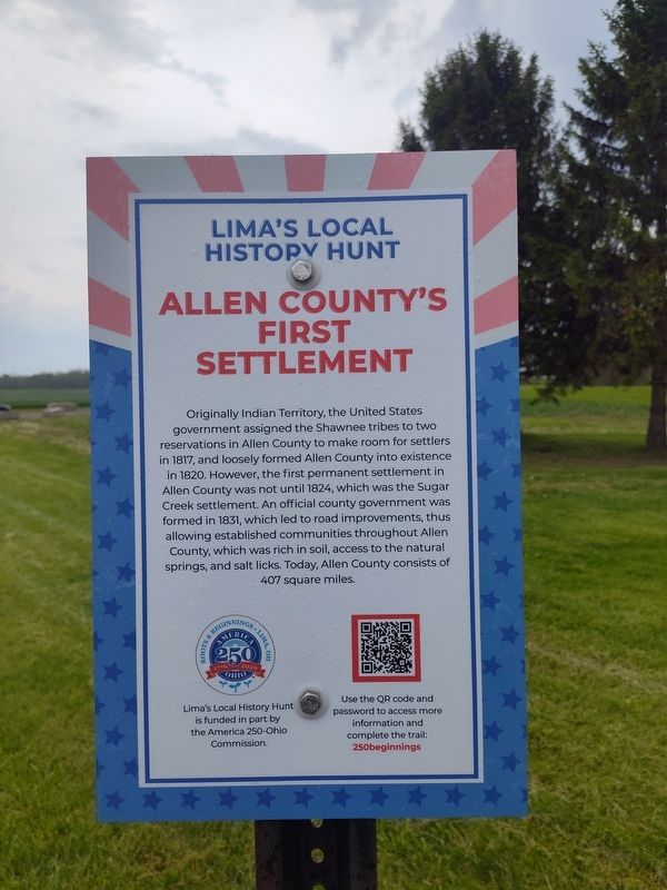
Photographed by Craig Doda, April 24, 2026
1. Allen County's First Settlement Marker
Erected 2026 by America 250-Ohio Commission. (Marker Number 8.)
Topics and series. This historical marker is listed in these topic lists: Government & Politics • Indigenous Peoples and Communities • Roads & Vehicles • Settlements & Settlers. In addition, it is included in the America 250: Ohio Commission series list. A significant historical year for this entry is 1817.
Location. 40° 47.298′ N, 84° 6.122′ W. Marker is in Lima, Ohio, in Allen County. It is at the intersection of East Bluelick Road and North Road, on the right
this page online

Regionally, this marker is in Ohio’s Till Plains. It is also in the American Midwest and in the Corn Belt. Globally, it is in North America, the Western Hemisphere, the Western World, and the Anglosphere. Historically, it finds itself in what was once the Haudenosaunee (Iroquois) Confederacy, the territory of the Mississippian Culture, and the Northwest Territory.
Other nearby markers. At least 8 other markers are within 3 miles of this marker, measured as the crow flies: A different marker also named Allen County’s First Settlement (a few steps from this marker); The Henry Boose Site (approx. ¼ mile away); Founders and Patriots of Allen County, Ohio (approx. ¾ mile away); Lima (approx. 1.4 miles away); Rotary Riverwalk & Ottawa River Bikeway (approx. 2.6 miles away); Servicemen's Free Canteen (approx. 3 miles away); a different marker also named Servicemen's Free Canteen (approx. 3 miles away); McLean Teddy Bear Park (approx. 3 miles
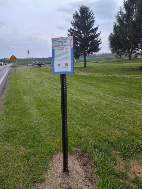
Photographed by Craig Doda, April 24, 2026
2. Allen County's First Settlement Marker
Also see . . . Lima's Local History Hunt. (Submitted on April 26, 2026, by Craig Doda of Napoleon, Ohio.)

Photographed by America 250-Ohio Commission
3. America 250-Ohio Commission
Credits. This page was last revised on May 4, 2026. It was originally submitted on April 26, 2026, by Craig Doda of Napoleon, Ohio. This page has been viewed 25 times since then. Photos: 1, 2. submitted on April 26, 2026, by Craig Doda of Napoleon, Ohio. 3. submitted on April 30, 2026, by Craig Doda of Napoleon, Ohio. • Devry Becker Jones was the editor who published this page.
