Boerne in Kendall County, Texas — The American South (West South Central)
Wells and Windmills
Photographed by James Hulse, April 26, 2026
1. Wells and Windmills Marker
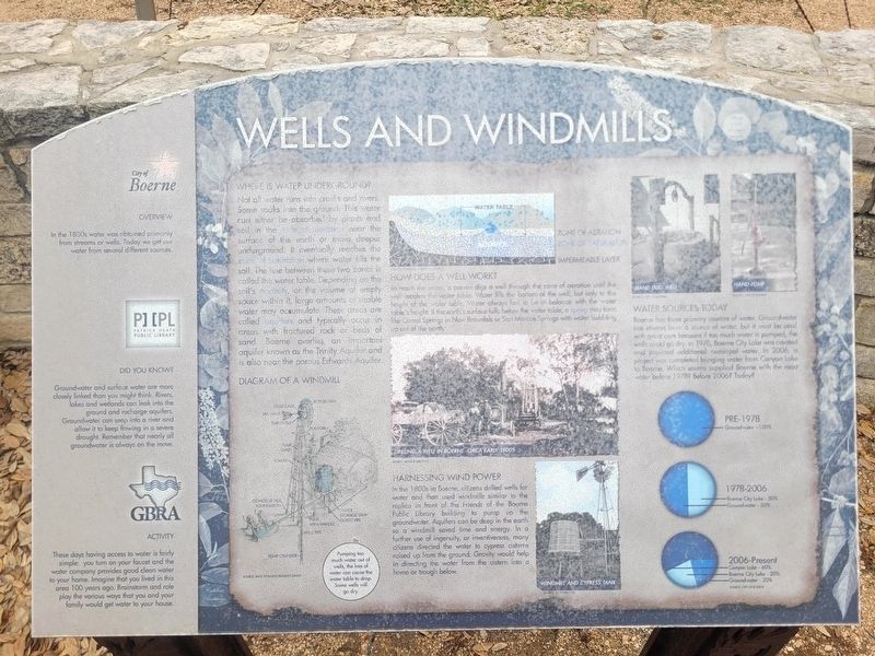
Where Is Water Underground?
Not all water runs into creeks and rivers. Some soaks into the ground. This water can either be absorbed by plants and soil in the zone of aeration near the surface of the earth or move deeper underground. It eventually reaches the zone of saturation where water fills the soil. The line between these two zones is called the water table. Depending on the soil's porosity, or the volume of empty space within it, large amounts of usable water may accumulate. These areas are called aquifers and typically occur in areas with fractured rock or beds of sand. Boerne overlies an important aquifer known as the Trinity Aquifer and is also near the porous Edwards Aquifer.
How Does a Well Work?
To reach the water a person digs a well through the zone of aeration until the well reaches the water table. Water fills the bottom of the well, but only to the height of the water table. Water always has to be in balance with the water table's height. If the earth's surface falls below the water table, a spring may form like Comal Springs in New Braunfels or San Marcos Springs with water bubbling up out of the
this page online
Water Sources Today
Boerne has three primary sources of water. Groundwater has always been a source of water, but it must be used with great care because if too much water is pumped, the wells could go dry. In 1978, Boerne City Lake was created and provided additional municipal water. In 2006, a project was completed, bringing water from Canyon Lake to Boerne. Which source supplied Boerne with the most water before 1978? Before 2006? Today?
Overview
In the 1800s water was obtained from many streams or wells. Today we get our water from several different sources.
Did you know?
Groundwater and surface water are more closely linked than you might think. Rivers, lakes and wetlands can leak into the ground and recharge aquifers. Groundwater can seep into a river and allow it to keep flowing in a severe drought. Remember that nearly all groundwater is always on the move.
Activity
These days having access to water is fairly simple: you turn on your faucet and the water company provides good clean water to your home. Imagine that you lived in this area 100 years ago. Brainstorm and role play the various ways that you and your family would get water to your house.
[Captions:]
Diagram of a windmill
Water table
Driving a well in Boerne, circa early 1900s
Windmill and cypress tank
Hand dug wells
Hand pump
Erected by City
Photographed by James Hulse, April 26, 2026
2. Wells and Windmills Marker
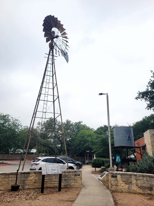
The marker is located at the base of a windmill.
Topics. This historical marker is listed in these topic lists: Agriculture • Animals • Waterways & Vessels. A significant historical year for this entry is 1976.
Location. 29° 47.912′ N, 98° 43.889′ W. Marker is in Boerne, Texas, in Kendall County. It is at the intersection of North Main Street and Johns Road on North Main Street. Touch for map. Marker is at or near this postal address: 451 N Main St, Boerne TX 78006, United States of America. Touch for directions.

Regionally, this marker is in the Hill Country and in the San Antonio Metropolitan Area. Globally, it is in North America, a Gulf of Mexico state, the Western Hemisphere, the Western World, and the Anglosphere. Historically, it finds itself in what was once New Spain, the Republic of Texas, and one of the Confederate States of America.
Other nearby markers. At least 8 other markers are within walking distance of this marker: History of Boerne (a few steps from this marker); Local Groundwater (a few steps from this marker); History of Kendall County (a few steps from this marker); Civic Campus History
Photographed by James Hulse, April 26, 2026
3. Wells and Windmills Marker
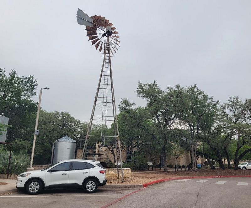
The view of the windmill from the street with the Patrick Heath Public Library in the background.
Credits. This page was last revised on April 27, 2026. It was originally submitted on April 26, 2026, by James Hulse of Medina, Texas. This page has been viewed 22 times since then. Photos: 1, 2, 3. submitted on April 27, 2026, by James Hulse of Medina, Texas.
