Shawnee Township in Fort Shawnee in Allen County, Ohio — The American Midwest (Great Lakes)
Rotary Riverwalk & Ottawa River Bikeway

Photographed by Craig Doda, April 25, 2026
1. Rotary Riverwalk & Ottawa River Bikeway Marker
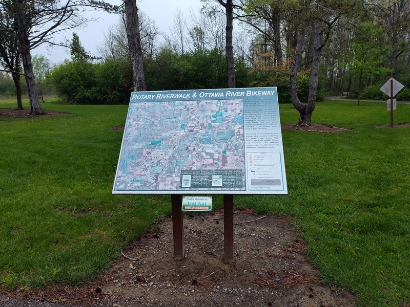
Construction began in 1992 at Faurot Park in Lima and extended to Heritage Park in Shawnee Township. Lima continued the trail along the Ottawa River through the City and, in 2003, the Lima Rotary Club once again became involved and the trail was extended to the Ottawa Metro Park in Bath Township.
The Ottawa River Bikeway now extends over 13 miles, connecting six parks, Lima Senior High School, the Lima Family YMCA, and downtown Lima. Planning continues to extend the bikeway to additional community assets.
Topics. This historical marker is listed in these topic lists: Parks & Recreational Areas • Roads & Vehicles. A significant historical year for this entry is 1992.
Location. 40° 41.761′ N, 84° 8.793′ W. Marker is in Fort Shawnee, Ohio, in Allen County. It is in Shawnee Township. It is at the intersection of Reed Road and Shawnee Road, on the right when traveling west on Reed Road. Touch for map. Marker is at or near this postal address: 1882 Reed Rd, Lima OH 45804, United States of America. Touch for directions.

Regionally,
this page online
Other nearby markers. At least 8 other markers are within one mile of this marker, measured as the crow flies: Bicentennials of the Northwest Ordinance and the U.S. Constitution (within shouting distance of this marker); Heritage Park (within shouting distance of this marker); God Bless America (approx. 0.3 miles away); a different marker also named Shawnee Council House (approx. 0.4 miles away); In Memory of Chief P-H-T and the Hawg Creek Shawnee (approx. half a mile away); Johnny Appleseed Tree (approx. 0.9 miles away); Sharp School Bell (approx. one mile away); Shawnee High School Students Who Have Passed Away During Their High School Years (approx. 1.1 miles away). Touch for a list and map of all markers in Fort Shawnee.
Another marker is no longer nearby. Shawnee Council House
Photographed by Craig Doda, April 25, 2026
2. Rotary Riverwalk & Ottawa River Bikeway Marker
Credits. This page was last revised on April 30, 2026. It was originally submitted on April 29, 2026, by Craig Doda of Napoleon, Ohio. This page has been viewed 12 times since then. Photos: 1, 2. submitted on April 29, 2026, by Craig Doda of Napoleon, Ohio. • Devry Becker Jones was the editor who published this page.
