Westville in Adair County, Oklahoma — The American South (West South Central)
Robert Rogers
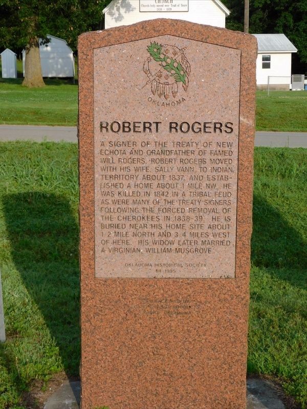
Photographed by Jimmy Emerson, May 2024
1. Robert Rogers Marker
Erected 1995 by Oklahoma Historical Society. (Marker Number 64.)
Topics. This historical marker is listed in these topic lists: Cemeteries & Burial Sites • Indigenous Peoples and Communities • Settlements & Settlers. A significant historical year for this entry is 1837.
Location. 36° 2.119′ N, 94° 35.021′ W. Marker is in Westville, Oklahoma, in Adair County. It is on Old Mission Mountain Road north of Local Road 680, on the right when traveling north. Touch for map. Marker is at or near this postal address: 67864 Old Mission Mountain Rd, Westville OK 74965, United States of America. Touch for directions.

Regionally, this marker is in the Cherokee Nation
this page online
Other nearby markers. At least 8 other markers are within 11 miles of this marker, measured as the crow flies: Baptist Mission (here, next to this marker); The End of the Journey (here, next to this marker); Home in the West (here, next to this marker); a different marker also named Baptist Mission (a few steps from this marker); Fort Wayne (approx. 4.9 miles away); Reeves House (approx. 10.4 miles away in Arkansas); Pyeatte House (approx. 10½ miles away in Arkansas); Grand Army of the Republic Memorial (approx. 10½ miles away in Arkansas). Touch for a list and map of all markers in Westville.
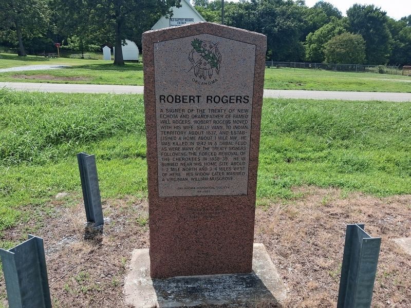
Photographed by Marc Hayot, June 28, 2026
2. Robert Rogers Marker
Credits. This page was last revised on July 9, 2026. It was originally submitted on May 2, 2026, by Jimmy Emerson of Dalton, Georgia. This page has been viewed 34 times since then. Photos: 1. submitted on May 2, 2026, by Jimmy Emerson of Dalton, Georgia. 2. submitted on June 28, 2026, by Marc Hayot of Siloam Springs, Arkansas. • Devry Becker Jones was the editor who published this page.
