Westville in Adair County, Oklahoma — The American South (West South Central)
Baptist Mission
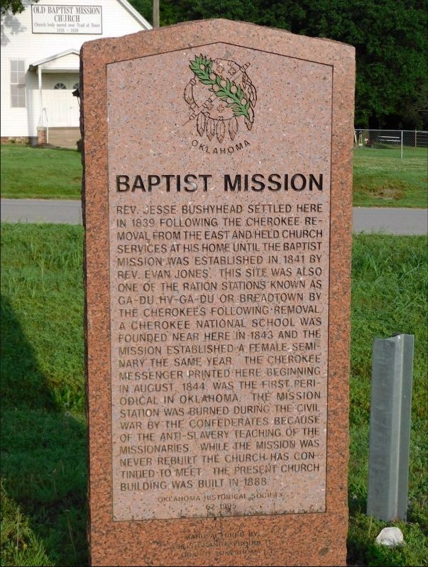
Photographed by Jimmy Emerson, May 2024
1. Baptist Mission Marker
Rev. Jesse Bushyhead settled here in 1839 following the Cherokee removal from the East and held church services at his home until the Baptist Mission was established in 1841 by Rev. Evan Jones. This site was also one of the ration stations known as Ga-du Hv-ga-du or Breadtown by the Cherokees following removal. A Cherokee National school was founded near here in 1843 and the Mission established a female seminary the same year. The Cherokee Messenger printed here beginning in August 1844, was the first periodical in Oklahoma. The Mission station was burned during the Civil War by the Confederates because of the anti-slavery teaching of the missionaries. While the mission was never rebuilt the church has continued to meet. The present church building was built in 1888.
Erected 1995 by Oklahoma Historical Society. (Marker Number 62.)
Topics. This historical marker is listed in these topic lists: Indigenous Peoples and Communities • Religion & Religious Structures • Settlements & Settlers • War, US Civil. A significant historical year for this entry is 1839.
Location. 36° 2.12′ N, 94° 35.02′ W. Marker is
this page online

Regionally, this marker is in the Cherokee Nation and in Northeast Oklahoma—Green Country. It is also in the American South, specifically in the Ozarks, on the prairies, and on the Southern Plains. Globally, it is in North America, the Western Hemisphere, the Western World, and the Anglosphere. Historically, it finds itself in what was once the territory of the Mississippian Culture and also the Louisiana Purchase.
Other nearby markers. At least 8 other markers are within 11 miles of this marker, measured as the crow flies: Robert Rogers (here, next to this marker); The End of the Journey (here, next to this marker); Home in the West (a few steps from this marker); a different marker also named Baptist Mission (a few steps from this marker); Fort Wayne (approx. 4.9 miles away); Reeves House (approx. 10.4 miles away in Arkansas);
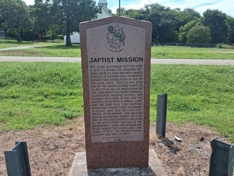
Photographed by Marc Hayot, June 28, 2026
2. Baptist Mission Marker
Credits. This page was last revised on July 9, 2026. It was originally submitted on May 2, 2026, by Jimmy Emerson of Dalton, Georgia. This page has been viewed 33 times since then. Photos: 1. submitted on May 2, 2026, by Jimmy Emerson of Dalton, Georgia. 2. submitted on June 28, 2026, by Marc Hayot of Siloam Springs, Arkansas. • Devry Becker Jones was the editor who published this page.
