Near Fort Hunter in Montgomery County, New York — The American Northeast (Mid-Atlantic)
Welcome to Schoharie Crossing
Schoharie Crossing State Historic Site
Photographed by Steve Stoessel, May 2, 2026
1. Welcome to Schoharie Crossing Marker
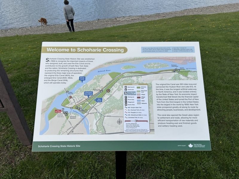
Schoharie Crossing State Historic Site was established in 1966 to recognize the important impacts of those who designed, built, and used the Erie Canal and its contribution to the growth of both New York State and the nation. Schoharie Crossing is dedicated to protecting the remaining structures that represent the three major eras of operation: the original Erie Canal (1825), the enlarged Erie Canal (1836-1862), Barge Canal and the Barge Canal (1918), which still operates today.
The original Erie Canal was 363 miles long and connected the Hudson River and Lake Erie. At the time, it was the longest artificial waterway in North America, and it was funded entirely by the State of New York. Its economic impact transformed Wall Street into the financial capital of the United States and turned the Port of New York from the third largest in the United States into the largest in the world by 1908. New York state prospered greatly all along its route by attracting people, businesses, and development.
The canal also opened the Great Lakes region to settlement and trade, allowing for more efficient transportation of raw materials
this page online
To learn more about this site and the history of the Erie Canal, please visit our Visitor Center and Museum at 129 Schoharie Street, Fort Hunter, NY 12069.
Erected by New York State Parks, Recreation and Historic Preservation.
Topics. This historical marker is listed in these topic lists: Bridges & Viaducts • Parks & Recreational Areas • Waterways & Vessels. A significant historical year for this entry is 1966.
Location. 42° 56.361′ N, 74° 17.376′ W. Marker is near Fort Hunter, New York, in Montgomery County. It is on Aqueduct Picnic Area 0.4 miles north of Dufel Road, on the right when traveling north. Touch for map. Marker is at or near this postal address: Hartley Lane, Amsterdam NY 12010, United States of America. Touch for directions.

Regionally, this marker is in Upstate New York and in the Mohawk Valley. It is also in the American Northeast and in the Mid-Atlantic. Globally, it is in North America, the Western Hemisphere, the Western World, and the Anglosphere. Historically, it finds itself in what was once the Haudenosaunee (Iroquois)
Photographed by Steve Stoessel, May 2, 2026
2. Welcome to Schoharie Crossing Marker
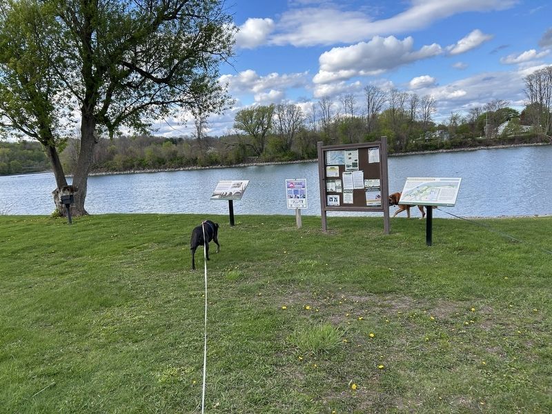
Marker is the one on the right.
Other nearby markers. At least 8 other markers are within walking distance of this marker: The Schoharie Aqueduct (here, next to this marker); The Schoharie Creek Bypass (about 400 feet away, measured in a direct line); a different marker also named The Schoharie Aqueduct (approx. 0.2 miles away); Lock 30 (approx. 0.3 miles away); Schoharie Crossing (approx. 0.3 miles away); Once A Farm (approx. 0.4 miles away); Canal Dams (approx. 0.4 miles away); In the Wake of Hurricane Irene (approx. 0.4 miles away). Touch for a list and map of all markers in Fort Hunter.
Another marker is no longer nearby. The Schoharie Aqueduct (was here, next to this marker).
Credits. This page was last revised on May 3, 2026. It was originally submitted on May 3, 2026, by Steve Stoessel of Niskayuna, New York. This page has been viewed 15 times since then. Photos: 1, 2. submitted on May 3, 2026, by Steve Stoessel of Niskayuna, New York.
