North Aurora in Kane County, Illinois — The American Midwest (Great Lakes)
Lincoln Highway
Village of North Aurora
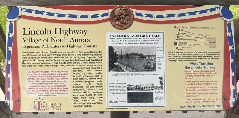
| — | Exposition Park Caters to Highway Tourists | — |
Photographed by Sean P. Flynn, May 3, 2026
1. Lincoln Highway Marker
[Box with red text:]
The Interpretive Gazebo Project was partially funded through a National Scenic Byway Grant from the Federal Highway Administration (FHWA), with support from the Village of North Aurora. The project was coordinated by the Illinois
this page online
Frank Thielen was a promoter of entertainment who purchased farmland in North Aurora to bring his concept of Exposition Park to life, costing one million dollars to complete. His business venture provided substantial commerce and employment for the village, attracting a steady stream of toursts.
• Lincoln Highway Interpretive Exhibit is located in the Dixon Welcome Center.
• Lincoln Highway's First Concrete Mile, the Seedling Mile, is located in Malta.
• Interactive Kiosk in Aurora, check web site for location.
• Check the website for locations of the Lincoln Highway Traveling Exhibit.
Erected by Illinois Lincoln Highway Coalition.
Topics and series. This historical marker is listed in these topic lists: Entertainment •
Photographed by Sean P. Flynn, May 3, 2026
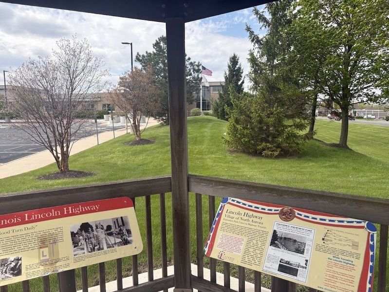
2. Two of the four Lincoln Highway, facing the North Aurora police station
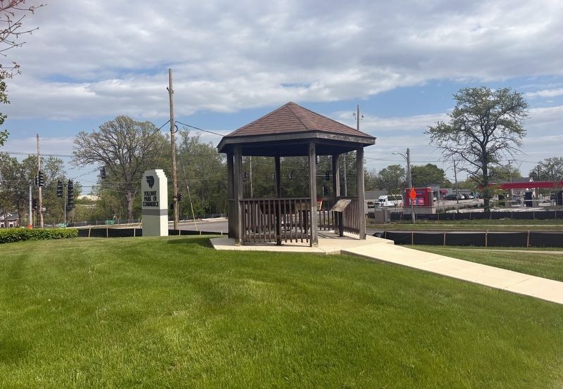
Location. 41° 47.918′ N, 88° 19.52′ W. Marker is in North Aurora, Illinois, in Kane County. It is at the intersection of Lincolnway Street (Illinois Route 31) and Airport Road, on the right when traveling south on Lincolnway Street. The marker is front of the North Aurora police station, in a gazebo near the "Tollway Park of Commerce" sign. Touch for map. Marker is at or near this postal address: 200 South Lincolnway Street, North Aurora IL 60542, United States of America. Touch for directions.

Regionally, this marker is in Greater Chicago. It is also in the American Midwest. Globally, it is in North America, on the Great Lakes, in the Western Hemisphere, in the Western World, and in the Anglosphere. Historically, it finds itself in what was once the territory of the Mississippian Culture and also the Northwest Territory.
Other nearby markers. At least 8 other markers are within 3 miles of this marker, measured as the crow flies: Illinois Lincoln Highway (here, next to
Photographed by Sean P. Flynn, May 3, 2026
3. Lincoln Highway gazebo with four markers
More about this marker. The marker is one of four about the Lincoln Highway housed in a gazebo. Based on Google Street View archived photos, this gazebo was installed between in 2023 or 2024.
Regarding Lincoln Highway. Exposition Park was located near here, around where I-88 intersects Lincolnway Street. The park hosted its last fair in 1931 but may have been in limited operation through World War II.
Also see . . . Exposition (Amusement) Park, Aurora, Illinois (1922-1931). From the Digital Research Library of Illinois History Journal.
Excerpt: “Permanent offerings at Exposition Park included a 130 room hotel; the 'world’s largest swimming pool,' measuring 320 feet by 160 feet; a race track with grand stand; a golf course; a beautiful pergola filled with imported flowers, birds and exotic animals; and a restaurant that later became a ballroom, roller skating rink and exhibit hall, situated in what was said to be the 'world’s largest log cabin.' A 'Kiddie Amusement Park' contained a roller coaster (the Exposition Flyer); tilt-a-whirl; Ferris wheel (the 'Swooper'); a pony track; the House of Fun; 'Monkey Island' with live monkeys; the 'Ol’ Mill' boat rides; a penny arcade; 'Leapin’ Leana' children’s playground; a miniature railroad (the 'Exposition Limited’) and other attractions.”(Submitted on May 5, 2026, by Sean P. Flynn of Oak Park, Illinois.)
Credits. This page was last revised on May 5, 2026. It was originally submitted on May 3, 2026, by Sean P. Flynn of Oak Park, Illinois. This page has been viewed 28 times since then. Photos: 1. submitted on May 3, 2026, by Sean P. Flynn of Oak Park, Illinois. 2, 3. submitted on May 4, 2026, by Sean P. Flynn of Oak Park, Illinois.
