Central Vancouver in Metro Vancouver, British Columbia — Canada’s West Coast (North America)
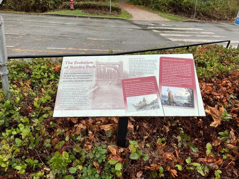
The Evolution of Stanley Park
Photographed by Adam Margolis, October 9, 2023
1. The Evolution of Stanley Park Marker
What Are You Standing On?
The landscape you see today is the result of millions of years of geologic activity. Sandstone rock in the park was created from sandy deposits laid down by rivers 50 to 70 million years ago. As the local mountains formed and rose they lifted up the sandstone, creating the parks slight north-south slope. The parks volcanic outcrops began as molten rock deep within the Earth. It forced its way up through the sandstone about 32 million years ago and then cooled to form the volcanic basalt seen around Prospect point.
First Park In The City
In 1889, one year after the park official opened, former Governor General Lord Stanley "dedicated the park to the use and enjoyment of peoples of all colors, creeds and customs, for all time." Stanley Park is Vancouver's oldest and Canada's largest, urban park. The ocean surrounds most of the park's 405 hectares (1,000 acres), offering panoramic views of the mountains and sea. Over 60% of the park is coastal temperate rainforest, which
this page online
The First Peoples
The Coast Salish used this area hunt, fish and gather food for centuries. Evidence of their villages, shell middens and activities has been found at several park sites. To make canoes, tools, clothing and everyday they harvested wood and bark from the trees often without killing them. Some of these "modified" tress can still be found in the park.
Newcomers Step Ashore
The 1790s saw the arrival of Spanish explores José Maria Narváez and Dionisio Alcalá-Galiano and British explorer George Vancouver. All three mapped the future Stanley park as an island. At the time, a saltwater marsh connected Second Beach through Ceperley Meadow to Lost Lagoon, which was part of Coal Harbour until the causeway was built in 1916. During high tide, one could paddle a canoe between the two.
Eventually, Vancouver politicians negotiated with the federal government to convert the reserve to a city park. This prevent the Canadian Pacific Railway from purchasing the peninsula to maintain the surrounding property values.
Topics. This historical marker is listed in these topic lists:
Photographed by Adam Margolis, October 9, 2023
2. The Evolution of Stanley Park Marker
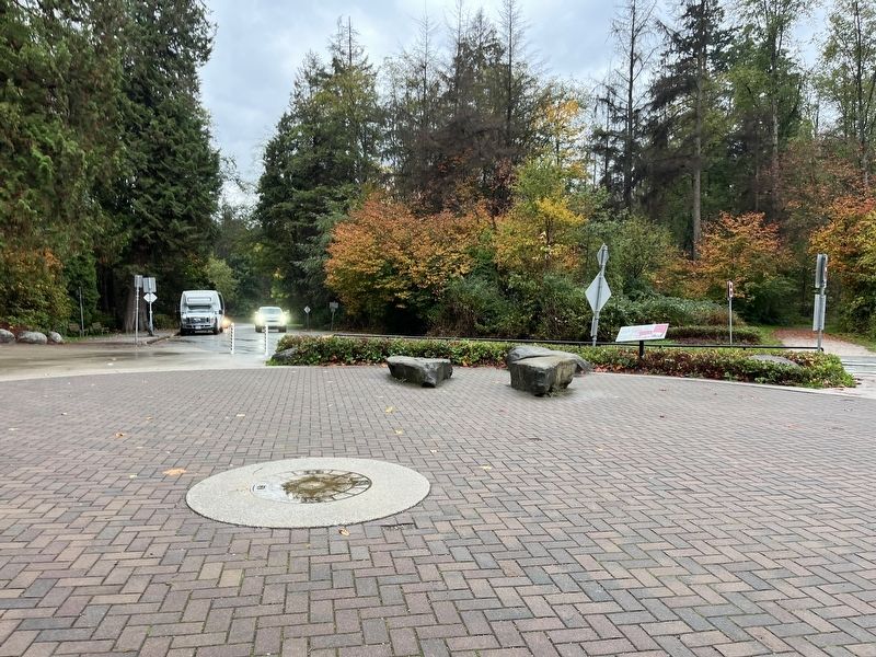
Location. 49° 18.749′ N, 123° 8.581′ W. Marker is in Vancouver, British Columbia, in Metro Vancouver. It is in Central Vancouver. It is at the intersection of Prospect Point Trail and Stanley Park Drive on Prospect Point Trail. Touch for map. Marker is at or near this postal address: 810 Prospect Point Trail, Vancouver BC V6G 3E2, Canada. Touch for directions.

Regionally, this marker is on the Lower Mainland and in Coast & Mountains. Globally, it is in North America, in the Cascade Range, in the Inside Passage, on the Ring of Fire, on the Pacific Rim, in the Western Hemisphere, in the Western World, and in the Anglosphere. Historically, it finds itself in what was once a British colony.
Other nearby markers. At least 8 other markers are within walking distance of this marker: Windstorm of December 2006 (within shouting distance of this marker); The Lions' Gate Bridge / Le pont Lions' Gate (about 120 meters away, measured in a direct line); Welcome to Lowden's Lookout (about 120 meters away); Lions Gate Bridge (about 150 meters away); Beaver (about 180 meters away); Disasters and Narrow Escapes (about 210 meters away); A Position of Honour (approx. 1.4 kilometers away); Shakespeare Garden (approx. 1.5 kilometers away). Touch for a list and map of all markers in Vancouver.
Credits. This page was last revised on May 13, 2026. It was originally submitted on May 13, 2026, by Adam Margolis of Mission Viejo, California. This page has been viewed 16 times since then. Photos: 1, 2. submitted on May 13, 2026, by Adam Margolis of Mission Viejo, California. • Andrew Ruppenstein was the editor who published this page.
