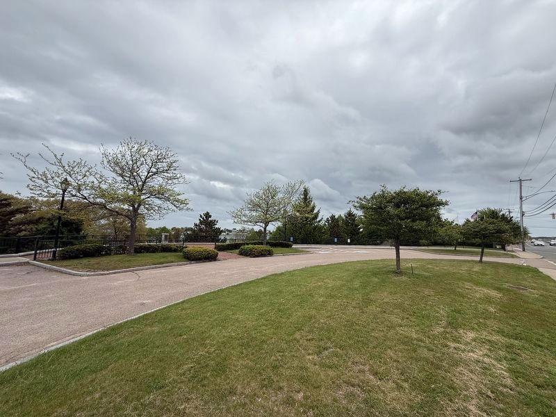
Abigail Adams Park in North Weymouth in Norfolk County, Massachusetts — The American Northeast (New England)
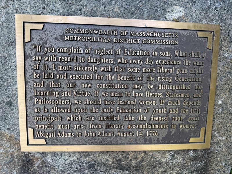
Abigail Adams to John Adams, August 14, 1776
| — | Back River Trail | — |
Photographed by G.W.Bartlett, May 13, 2026
1. Abigail Adams to John Adams, August 14, 1776 Marker
Metropolitan District Commission
"If you complain of neglect of Education in sons, What shall I say with regard to daughters, who every day experience the want of it. I most sincerely wish that some more liberal plan might be laid and executed for the Benefit of the rising Generation, and that our new constitution may be distinguished for Learning and Virtue. If we mean to have Heroes, Statesmen, and Philosophers, we should have learned women. If much depends as is allowed upon the early Education of youth and the first principals which are instilled take the deepest root, great benefit must arise from literary accomplishments in women."
Abigail Adams to John Adams, August 14, 1776
Erected 2016 by Commonwealth of Massachusetts Metropolitan District Commission.
Topics. This historical marker is listed in these topic lists: Arts, Letters, Music • Parks & Recreational Areas • Patriots & Patriotism • Women. A significant historical date for this entry is August 14, 1776.
Location. 42° 14.802′ N, 70° 56.201′ W. Marker is in North Weymouth, Massachusetts, in Norfolk County. It is in Abigail
this page online

Regionally, this marker is in Greater Boston. It is also in the American Northeast, in New England, and on the Eastern Seaboard. Globally, it is in the North Atlantic Region, North America, the Western Hemisphere, the Western World, and the Anglosphere. Historically, it finds itself in what was once one of the original Thirteen Colonies.
Other nearby markers. At least 8 other markers are within walking distance of this marker: Abigail Adams to John Adams, July 21, 1776 (within shouting distance of this marker); Abigail Adams to John Adams, July 14, 1776 (within shouting distance of this marker); Abigail Adams to John Adams, August 29, 1776 (about 300 feet away, measured in a direct line); Abigail Adams to Mercy Otis Warren, April 13, 1776 (about 300 feet away); Abigail Adams to John Adams, August 5, 1777 (about 400 feet
Photographed by G.W.Bartlett, May 13, 2026
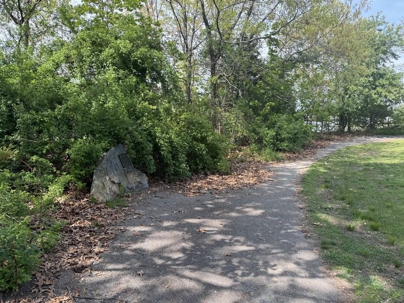
2. Abigail Adams to John Adams, August 14, 1776 Marker
Related markers. Click here for a list of markers that are related to this marker.
Also see . . .
1. Abigail Adams Park.
Weymouth’s 7.6-acre Abigail Adams Park, which is part of MA DCR’s Back River Reservation, features a 0.7-mile paved walking trail along the Weymouth Back River, and a small stony beach that it suitable for launching a canoe or kayak. Along the trail, there are plaques with quotations from Abigail Adams.(Submitted on May 14, 2026, by G.W.Bartlett of Hingham, Massachusetts.)
2. Back River Trail - North and South Rivers Watershed Association.
The paved Back River Trail currently (2026) extends along the Back River in Weymouth from Bridge Street (Route 3A) through Great Esker Park and Osprey Overlook Park, for about 2 miles. It will eventually extend from Webb Memorial State Park, along Weymouth Neck to the Kibby Property and Abigail Adams Park.
Photographed by G.W.Bartlett, May 13, 2026
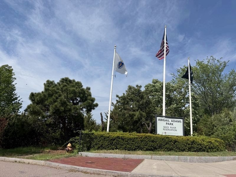
3. Abigail Adams Park
Reservation
Massachusetts Department of
Conservation and Recreation
3. Adams National Historic Park Massachusetts.
Adams National Historical Park became part of the National Park Service in 1946 to commemorate the distinguished men and women of the Adams family who dedicated their lives to the development and service of the United States. The thirteen-acre park comprises the Adams Farm at Penn’s Hill (the John Adams and John Quincy Adams Birthplaces), the Old House at Peace field, and the Stone Library. The park’s visitor center is located in Quincy Center and sits halfway between the Adams Farm at Penn’s Hill and the Old House at Peace field.(Submitted on May 14, 2026, by G.W.Bartlett of Hingham, Massachusetts.)
4. Abigail Adams (1744-1818) - Find-a-Grave.
United States First Lady. She was the wife of the second United States President, John Adams, and the mother of the sixth United States President, John Quincy Adams. Born in Weymouth, Massachusetts.(Submitted on May 14, 2026, by G.W.Bartlett of Hingham, Massachusetts.)
5. Abigail's Letters - Abigail Adams Historical Society.
Abigail Smith(Submitted on May 14, 2026, by G.W.Bartlett of Hingham, Massachusetts.)Adams was a gifted and eloquent letter writer. Her correspondence reflects her deep engagement with contemporary social and political issues and provides a unique window into eighteenth- and early-nineteenth-century life. The more than 1,100 letters she exchanged with her husband John are preserved in the Massachusetts Historical Society Adams Papers Collection and are available to read online through the Adams Electronic Archive.Photographed by G.W.Bartlett, May 14, 20264. Abigail Adams Park
Photographed by G.W.Bartlett, May 14, 2026
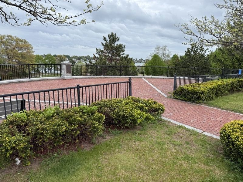
5. Abigail Adams Park
Credits. This page was last revised on May 22, 2026. It was originally submitted on May 14, 2026, by G.W.Bartlett of Hingham, Massachusetts. This page has been viewed 33 times since then. Photos: 1, 2, 3, 4, 5. submitted on May 14, 2026, by G.W.Bartlett of Hingham, Massachusetts. • Michael Herrick was the editor who published this page.
