North Attleborough in Bristol County, Massachusetts — The American Northeast (New England)
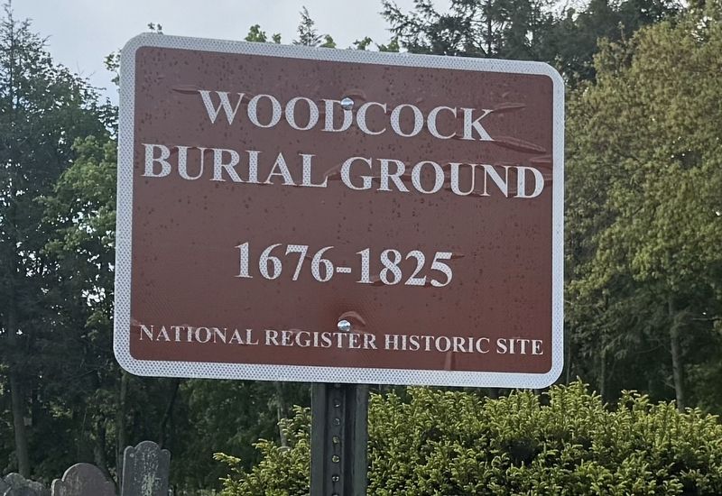
Woodcock Burial Ground
Photographed by G.W.Bartlett, May 15, 2026
1. Woodcock Burial Ground Marker
1676-1825
National Register Historic Site
Topics and series. This historical marker is listed in these topic lists: Cemeteries & Burial Sites • Colonial Era. In addition, it is included in the King Philip's War 1675-1676 series list.
Location. 41° 59.58′ N, 71° 19.757′ W. Marker is in North Attleborough, Massachusetts, in Bristol County. It is at the intersection of North Washington Street and Park Street, on the right when traveling south on North Washington Street. Touch for map. Marker is at or near this postal address: 362 North Washington Street, North Attleboro MA 02760, United States of America. Touch for directions.

Regionally, this marker is in Greater Providence. It is also in the American Northeast, in New England, and on the Eastern Seaboard. Globally, it is in the North Atlantic Region, North America, the Western Hemisphere, the Western World, and the Anglosphere. Historically, it finds itself in what was once one of the original Thirteen Colonies.
Other nearby markers. At least 8 other markers are within walking distance
this page online
Related marker. Click here for another marker that is related to this marker.
Also see . . .
1. Woodcock Garrison House - Town of North Attleborough. <blockquote>The first settler in what was then known as the Attleborough Territory was John Woodcock, who had a farm of three hundred acres on the Ten Mile River. In April 1676, during King Philip's War, Woodcock's son, Nathaniel, was killed by Indians while working in a nearby corn field. The Indians cut off Nathaniel's head and stuck it on a pole in front of the house. Nathaniel Woodcock was buried where

Photographed by G.W.Bartlett, May 15, 2026
2. Woodcock Burial Ground
2. Woodcock Garrison and Burial Ground - Sowams Early History. The first settler in what was then known as the Attleborough Territory was John Woodcock, who had a farm of three hundred acres on the Ten Mile River. In April 1676, during King Philip’s War, Woodcock’s 16-year-old son, Nathaniel, was killed by Indians while working in a nearby corn field. (Submitted on May 16, 2026, by G.W.Bartlett of Hingham, Massachusetts.)
3. History of Attelborough, by John Daggett, Pub. 1894, Page 107. In April, 1676, the Indians, having suffered several severe defeats in a body, adopted a new mode of warfare, and dispersed themselves in small parties over the country, burning, killing, and destroying wherever opportunity offered. Among other outrages they attacked Woodcock's Garrison, " killed one man, and one of Woodcock's sons, and wounded another, and burnt the son's house." (Submitted on May 17, 2026, by G.W.Bartlett of Hingham, Massachusetts.)

Photographed by G.W.Bartlett, May 15, 2026
3. Woodcock Burial Ground Marker
Nathaniel Woodcock marker in Woodcock Cemetery looking north. Nathaniel was slain by Indians at or near this spot in April 1676. Garrison house location is visible behind the flowering tree.
Photographed by G.W.Bartlett, May 15, 2026
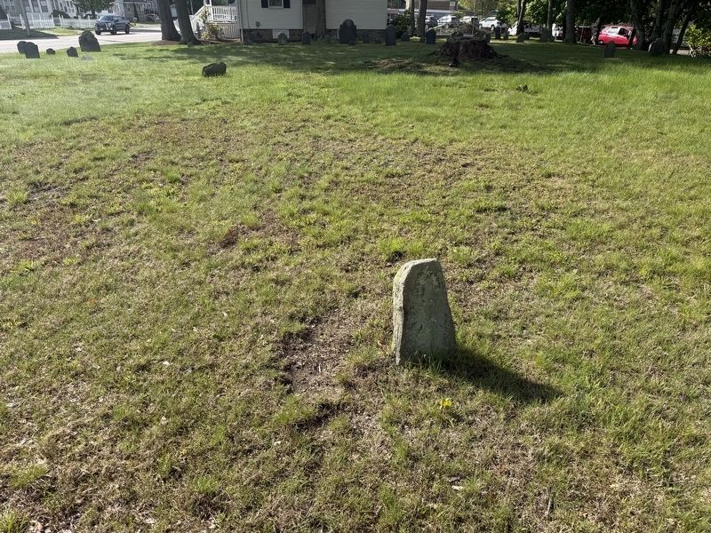
4. Woodcock Burial Ground Marker
Southwest view from Nathaniel Woodcock marker.
Credits. This page was last revised on May 26, 2026. It was originally submitted on May 16, 2026, by G.W.Bartlett of Hingham, Massachusetts. This page has been viewed 31 times since then. Last updated on May 21, 2026, by G.W.Bartlett of Hingham, Massachusetts. Photos: 1, 2, 3, 4. submitted on May 16, 2026, by G.W.Bartlett of Hingham, Massachusetts. • Devry Becker Jones was the editor who published this page.
Editor’s want-list for this marker. A link to the National Register of Historic Places nomination form and citing the historical significance. • Can you help?
