Amherstburg in Essex County, Ontario — Central Canada (North America)
The Nazrey African Methodist Episcopal (AME) Church
L’Église African Methodist Episcopal (AME) Nazrey
Photographed by Tim Boyd, May 15, 2026
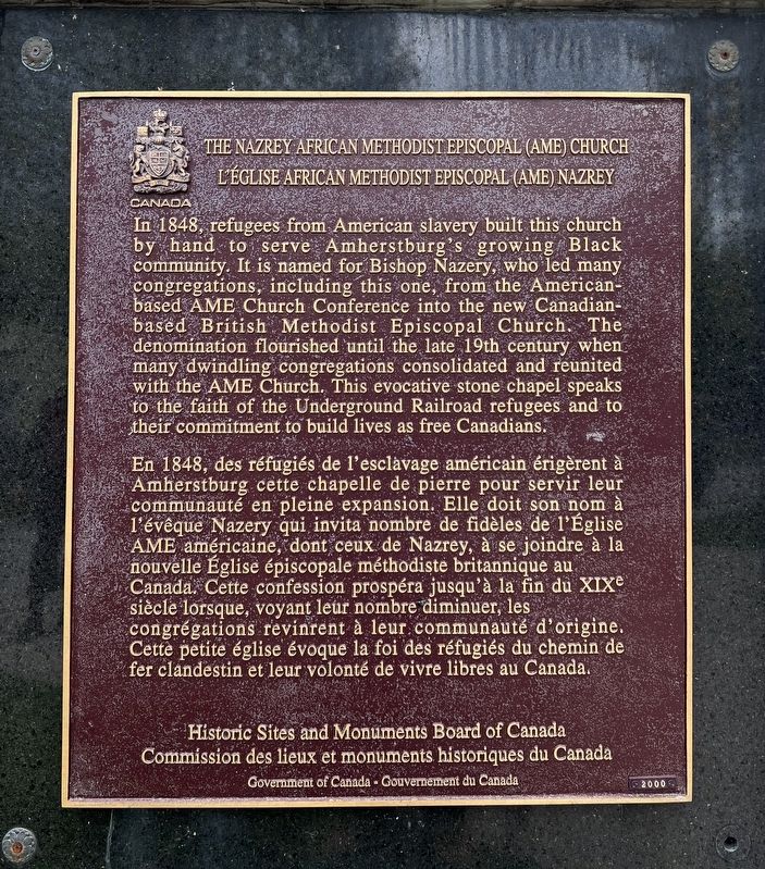
1. The Nazrey African Methodist Episcopal (AME) Church Marker

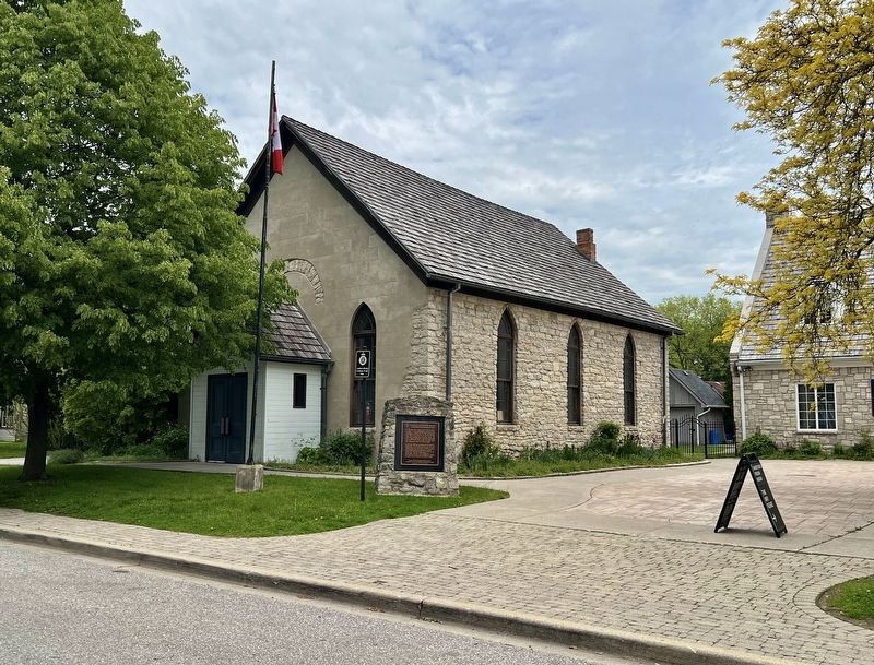
In 1848, refugees from American slavery built this church by hand to serve Amherstburg's growing Black community. It is named for Bishop Nazery, who led many congregations, including this one, from the American-based AME Church Conference into the new Canadian-based British Methodist Episcopal Church. The denomination flourished until the late 19th century when many dwindling congregations consolidated and reunited with the AME Church. This evocative stone chapel speaks to the faith of the Underground Railroad refugees and to their commitment to build lives as free Canadians.
En 1848, des réfugiés de l'esclavage américain érigèrent à Amherstburg cette chapelle de pierre pour servir leur communauté en pleine expansion. Elle doit son nom à l'évêque Nazery qui invita nombre de fidèles de l'Église AME américaine, dont ceux de Nazrey, à se joindre à la nouvelle Église épiscopale méthodiste britannique au Canada. Cette confession prospéra jusqu'à la fin du XIXe siècle lorsque, voyant leur nombre diminuer,
this page online
Erected by Historic Sites and Monuments Board of Canada.
Topics and series. This historical marker is listed in these topic lists: Abolition & Underground RR • African Americans • Religion & Religious Structures. In addition, it is included in the African Methodist Episcopal (AME) Church, and the Canada, Historic Sites and Monuments Board series lists. A significant historical year for this entry is 2000.
Location. 42° 6.077′ N, 83° 6.363′ W. Marker is in Amherstburg, Ontario, in Essex County. It is on King Street 0.1 kilometers south of Gore Street, on the right when traveling north. Touch for map. Marker is at or near this postal address: 273 King Street, Amherstburg ON N9V 2C8, Canada. Touch for directions.

Regionally, this marker is in the Southwest Ontario Area and in Southwestern Ontario. It is also in Central Canada. Globally, it is in North America, on the Great Lakes, in the Western Hemisphere, in the Western World, and in
Photographed by Tim Boyd, May 15, 2026
2. The Nazrey African Methodist Episcopal (AME) Church Marker
Other nearby markers. At least 8 other markers are within walking distance of this marker: Amherstburg First Baptist Church / L’Église de la First Baptist Church D’Amherstburg (about 150 meters away, measured in a direct line); Lt. - Colonel William Caldwell (approx. 0.4 kilometers away); Christ Church 1819 (approx. 0.4 kilometers away); The Great Sauk Trail (approx. 0.6 kilometers away); Park House / La Maison Park (approx. 0.7 kilometers away); The Commissariat Office (approx. 0.7 kilometers away); Amherstburg Navy Yard (approx. 0.7 kilometers away); The Battle of Lake Erie (approx. 0.7 kilometers away). Touch for a list and map of all markers in Amherstburg.
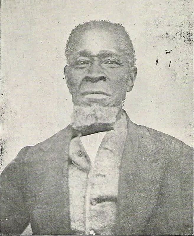
3. Bishop Willis Nazrey (1808-1875)
Public Domain
Credits. This page was last revised on May 27, 2026. It was originally submitted on May 22, 2026, by Tim Boyd of Hamilton, Ontario. This page has been viewed 15 times since then. Photos: 1, 2, 3. submitted on May 22, 2026, by Tim Boyd of Hamilton, Ontario. • Andrew Ruppenstein was the editor who published this page.
