Franklin in Williamson County, Tennessee — The American South (East South Central)
Brown's Attack
Photographed by Mike McKeown, May 22, 2026
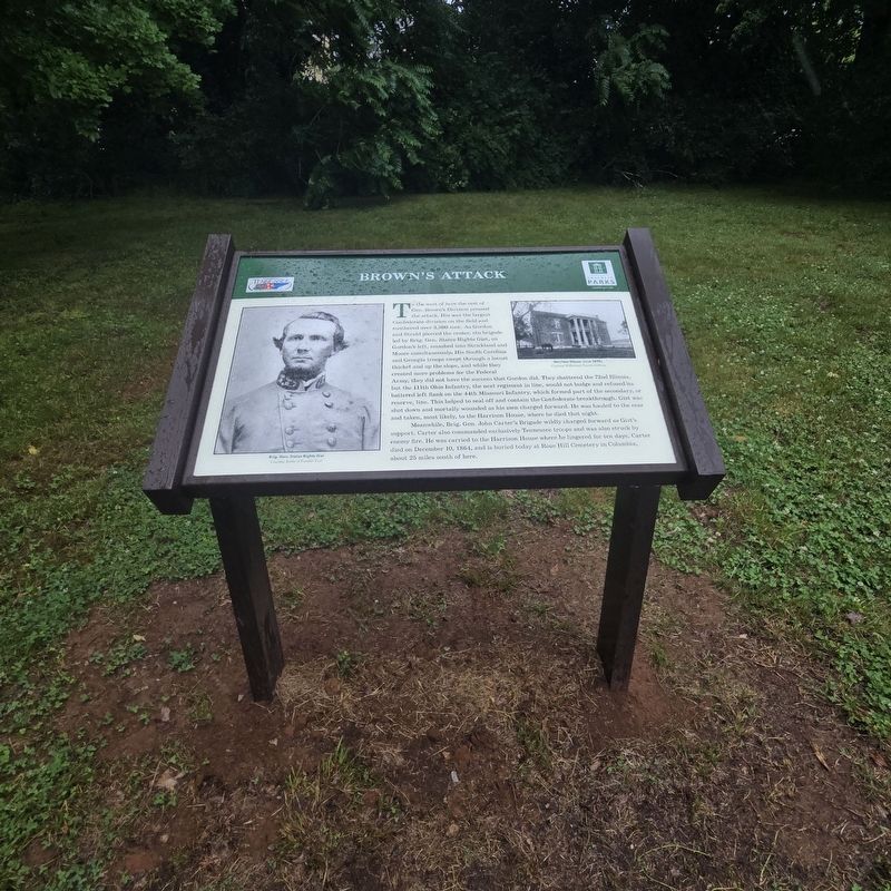
1. Brown's Attack Marker
Meanwhile, Brig. Gen. John Carter's Brigade wildly charged forward as Gist's support. Carter also commanded exclusively Tennessee troops and was
this page online
(captions)
Brig. Gen. States Rights Gist Courtesy Bottle of Franklin Trust
Harrison House Circa 1870s Courtesy Williamson County Archives
Erected 2026 by Historic Franklin Parks.
Topics. This historical marker is listed in this topic list: War, US Civil. A significant historical date for this entry is November 30, 1864.
Location. 35° 54.949′ N, 86° 52.46′ W. Marker is in Franklin, Tennessee, in Williamson County. It is on Columbia Avenue (Business U.S. 31) north of Cleburne Street, on the left when traveling north. Touch for map. Marker is at or near this postal address: 1214 Columbia Ave, Franklin TN 37064, United States of America. Touch for directions.

Regionally, this marker is in Middle Tennessee and in Greater Nashville. It is also in the American South and specifically in the Upper South. Globally, it is in North America, the Western Hemisphere, the Western World, and the Anglosphere. Historically, it finds
Photographed by Mike McKeown, May 22, 2026
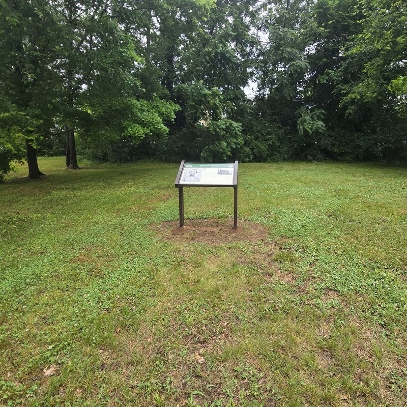
2. Brown's Attack Marker
Other nearby markers. At least 8 other markers are within walking distance of this marker: A different marker also named Brown's Attack (here, next to this marker); Wagner's Advanced Line (within shouting distance of this marker); Stewart's Corps on the Eastern Flank (within shouting distance of this marker); A Lost Battlefield is Reclaimed (within shouting distance of this marker); The Carter Farm (about 300 feet away, measured in a direct line); a different marker also named The Carter Farm (about 300 feet away); Epic Struggle in the Carter Garden (about 300 feet away); a different marker also named The Carter Farm (about 300 feet away). Touch for a list and map of all markers in Franklin.
Also see . . . Battle of Franklin (American Battlefield Trust). (Submitted on May 22, 2026, by Mike McKeown of Baltimore, Maryland.)
Credits. This page was last revised on May 28, 2026. It was originally submitted on May 22, 2026, by Mike McKeown of Baltimore, Maryland. This page has been viewed 22 times since then. Photos: 1, 2. submitted on May 22, 2026, by Mike McKeown of Baltimore, Maryland. • Bernard Fisher was the editor who published this page.
