Near Canton in Henderson County, North Carolina — The American South (South Atlantic)
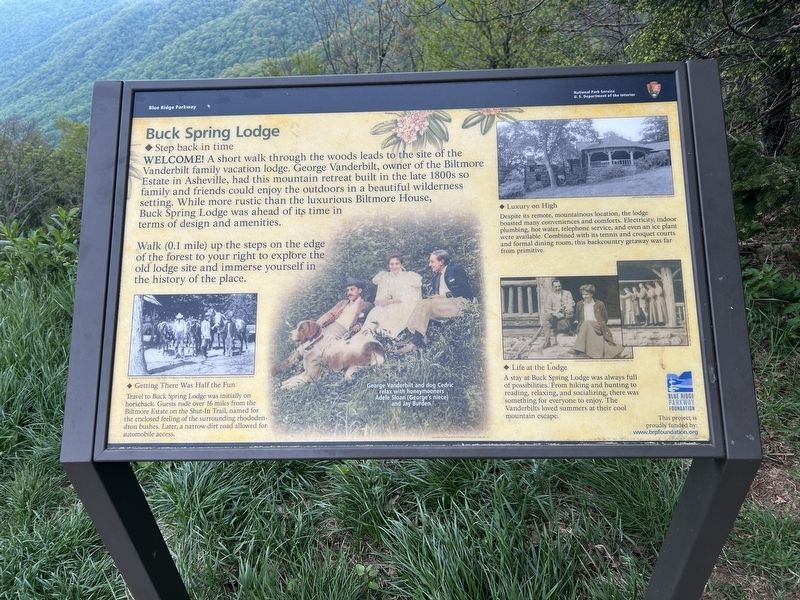
Buck Spring Lodge
Step Back in Time
| — | Blue Ridge Parkway | — |
Photographed by Steve Stoessel, May 11, 2026
1. Buck Spring Lodge Marker
Walk (0.1 mile) up the steps on the edge of the forest to your right to explore the old lodge site and immerse yourself in the history of the place.
Luxury on High
Despite its remote, mountainous location, the lodge boasted many conveniences and comforts Electricity, indoor plumbing, hot water, telephone service, and even an ice plant were available. Combined with its tennis and croquet courts and formal dining room, this backcountry getaway was far from primitive.
Getting There Was Half the Fun
Travel to Buck Spring Lodge was initially on horseback. Guests rode over 16 miles from the Biltmore Estate on the Shut-In Trail, named for the enclosed feeling of the surrounding rhododendron bushes.
this page online
Life at the Lodge
A stay at Back Spring Lodge was always full of possibilities. Prom hiking and hunting to reading, relaxing, and socializing, there was something for everyone to enjoy. The Vanderbilts loved summers at their cool mountain escape.
[ Center Photo Caption: ]
George Vanderbilt and dog Cedric relax with honeymooners Adele Sloan (Georges niece) and Jay Burden.
Erected by National Park Service.
Topics. This historical marker is listed in these topic lists: Architecture • Parks & Recreational Areas • Roads & Vehicles.
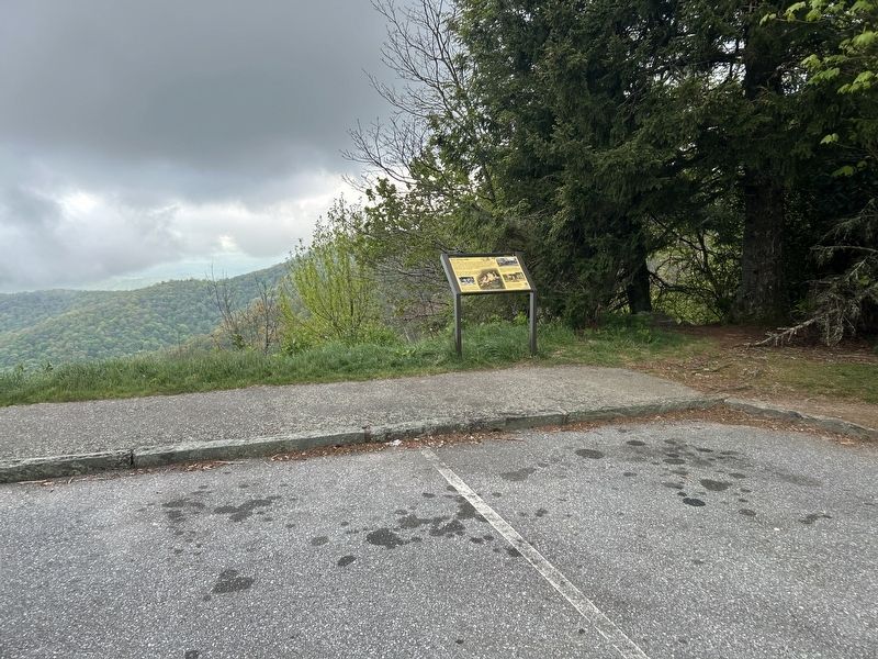
Location. 35° 24.906′ N, 82° 44.912′ W. Marker is near Canton, North Carolina, in Henderson County. It is on Blue Ridge Parkway, on the right when traveling north. Marker is at the Mount Pisgah Overlook. Touch for map. Marker is in this post office area: Canton NC 28716, United States of America. Touch for directions.

Regionally, this marker is in the Mountains and in Greater Asheville. It is also in the American South, specifically in the Upper South, in Appalachia, and
Photographed by Steve Stoessel, May 11, 2026
2. Buck Spring Lodge Marker
Other nearby markers. At least 8 other markers are within 5 miles of this marker, measured as the crow flies: Cradle of Forestry (approx. 3 miles away); Blacksmith (approx. 4.7 miles away); Schenck's Office (approx. 4.7 miles away); Rock House Creek Lodge (approx. 4.7 miles away); Ranger's Dwelling (approx. 4.7 miles away); Commissary (approx. 4.7 miles away); Moon Tree (approx. 4.7 miles away); Hell Hole (approx. 4.7 miles away).
Credits. This page was last revised on May 23, 2026. It was originally submitted on May 23, 2026, by Steve Stoessel of Niskayuna, New York. This page has been viewed 36 times since then. Photos: 1, 2. submitted on May 23, 2026, by Steve Stoessel of Niskayuna, New York.
