Franklin in Williamson County, Tennessee — The American South (East South Central)
The Battle of Franklin
Cavalry in the Battle
Photographed by Larry Gertner, June 21, 2019
1. The Battle of Franklin Marker
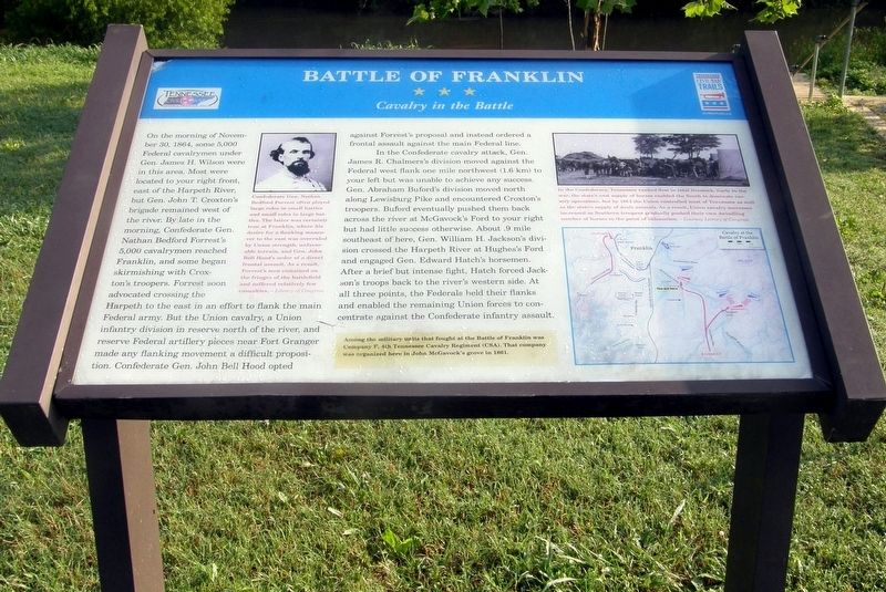
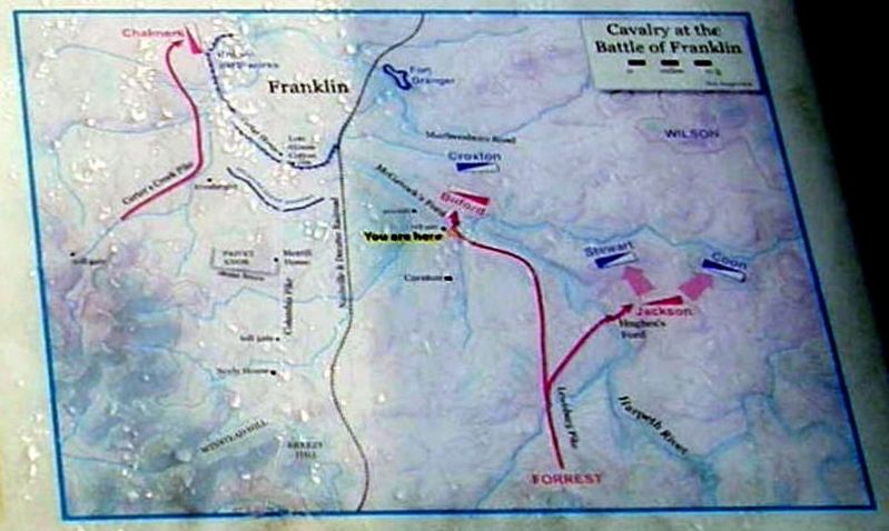
On the morning of November 30, 1864, some 5,000 Federal cavalrymen under Gen. James H. Wilson were in this area. Most were located to your right front, east of the Harpeth River, but Gen. John T. Croxton’s brigade remained west of the river. By late in the morning, Confederate Gen. Nathan Bedford Forrest’s 5,000 cavalrymen reached Franklin, and some began skirmishing with Croxton’s troopers. Forrest soon advocated crossing the Harpeth to the east in an effort to flank the main Federal army. But the Union cavalry, a Union infantry division and reserve Federal artillery pieces near Fort Granger mad any flanking movement a difficult proposition. Confederate Gen. John Bell Hood opted against Forrest’s proposal and instead ordered a frontal assault against the main Federal line.
In the Confederate cavalry attack, Gen. James R. Chalmers’s division moved against the Federal west flank one mile northwest (1.6km) to your left but was unable to achieve any success. Gen. Abraham Buford’s division moved north along Lewisburg Pike and encountered Croxton’s troopers. Buford eventually pushed them back across the river at McGavock’s
this page online
Among the military units that fought at the battle of Franklin was Company F, 4th Tennessee Cavalry Regiment (CSA). That company was organized here in John McGavock’s grove in 1861.
Erected by Tennessee Civil War Trails.
Topics and series. This historical marker is listed in this topic list: War, US Civil. In addition, it is included in the Tennessee Civil War Trails series list. A significant historical date for this entry is November 30, 1864.
Location. Marker has been permanently removed. It was located near 35° 54.55′ N, 86° 51.355′ W. Marker was in Franklin, Tennessee, in Williamson County. It was on Lewisburg Pike (Business U.S. 431) west of Carriage Park Drive, on the right when traveling
Photographed by Larry Gertner, June 21, 2019
2. The Battle of Franklin Marker
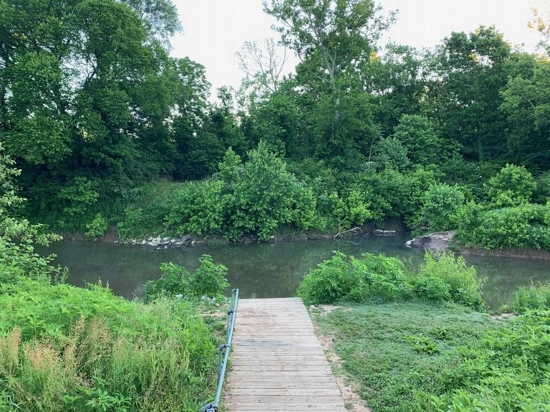
At the Franklin Harpeth River Access
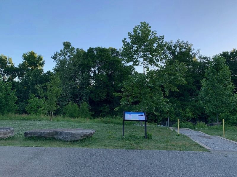
We have been informed that this marker is no longer there and will not be replaced. This page is an archival view of what was.
Regionally, this marker was in Middle Tennessee and in Greater Nashville. It was also in the American South and specifically in the Upper South. Globally, it was in North America, the Western Hemisphere, the Western World, and the Anglosphere. Historically, it found itself in what was once the territory of the Mississippian Culture, one of the Confederate States of America, and the Antebellum South.

Other nearby markers. At least 8 other markers are within walking distance of this location: Harpeth River Restoration and Fish Passage (here, next to this marker); Battle of Franklin, Eastern Flank (about 500 feet away, measured in a direct line); Advancing With Scott's Brigade (about 500 feet away); a different marker also named Advancing With Scott's Brigade (approx. 0.2 miles away); Eastern Flank Battlefield Park (approx. 0.2 miles away); a different marker also named Battle of Franklin, Eastern Flank
May 1, 2020
3. The Battle of Franklin Marker
Related marker. Click here for another marker that is related to this marker. "Recruiting for War" wayside on the Eastern Flank Battlefield
Photographed by Larry Gertner, June 21, 2019
4. Inset
Situation map
May 1, 2020
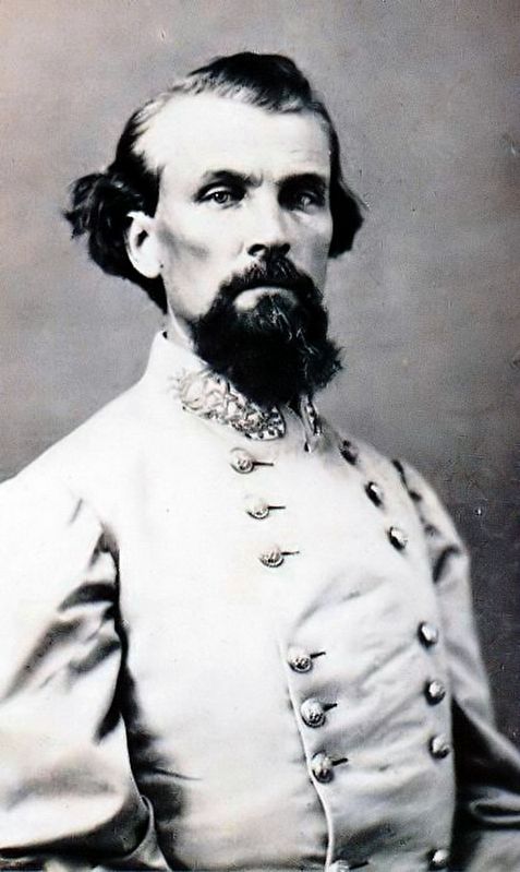
5. Nathan Bedford Forrest
Confederate Gen. Nathan Bedford Forrest often played large roles in small battles and small roles in large battles. The latter was certainly true at Franklin, where his desire for a flanking maneuver to the east was overruled by Union strength, unfavorable terrain, and Gen. John Bell Hood’s order of a direct frontal assault. As a result, Forrest’s men remained on the fringes of the battlefield and suffered relatively few casualties. - Library of Congress
May 1, 2020
6. The Harpeth River near the Battle of Franklin: Cavalry in the Battle Marker
Photographed by Larry Gertner, June 21, 2019
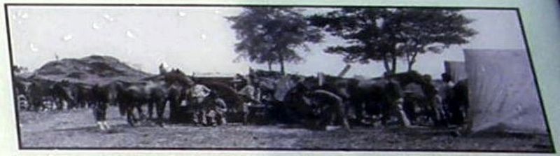
7. Inset
In the Confederacy, Tennessee ranked first in total livestock. Early in the war, the state's vast supply of horses enabled the South to dominate cavalry operations, but by 1864 the Union controlled most of Tennessee as well as the state's supply of draft animals. As a result, Union cavalry successes increased as Southern troopers gradually pushed their own dwindling number of horses to the point of exhaustion. - Courtesy Library of Congress
Credits. This page was last revised on May 26, 2026. It was originally submitted on August 28, 2019, by Larry Gertner of New York, New York. This page has been viewed 1,316 times since then and 129 times this year. Last updated on May 23, 2026, by Mike McKeown of Baltimore, Maryland. Photos: 1, 2. submitted on August 28, 2019, by Larry Gertner of New York, New York. 3. submitted on June 1, 2020. 4. submitted on August 28, 2019, by Larry Gertner of New York, New York. 5, 6. submitted on June 1, 2020. 7. submitted on August 28, 2019, by Larry Gertner of New York, New York. • Devry Becker Jones was the editor who published this page.
