South Nashville in Davidson County, Tennessee — The American South (East South Central)
Fort Negley Site
Inscription.
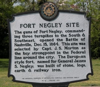
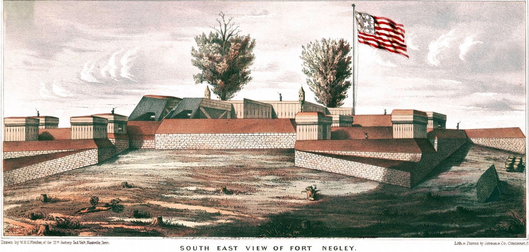
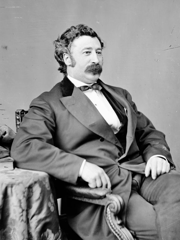
The guns of Fort Negley, commanding three turnpikes to the South & Southeast, opened the Battle of Nashville, Dec. 15, 1864. This site was selected by Capt. J. S. Morton as the key strongpoint in the Federal line around the city. The European style fort, named for General James S. Negley, was built of stone, logs, earth & railway iron.
Erected 1975 by The Historical Commission of Metropolitan Nashville and Davidson County. (Marker Number 55.)
Topics and series. This historical marker is listed in these topic lists: Forts and Castles • Landmarks • Man-Made Features • Military • Notable Places • War, US Civil. In addition, it is included in the Tennessee, The Historical Commission of Metropolitan Nashville and Davidson County series list. A significant historical date for this entry is December 15, 1827.
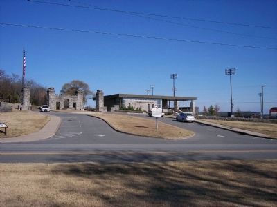
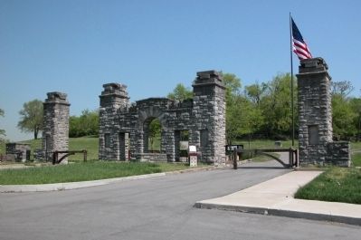
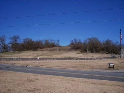
Location. 36° 8.577′ N, 86° 46.552′ W. Marker is in Nashville, Tennessee, in Davidson County. It is in South Nashville. Marker is on Ft. Negley Boulevard, 0 miles north of Chestnut Street, on the right when traveling north. Marker is located right at the entrance to Fort Negley Park. Touch for map. Marker is in this post office area: Nashville TN 37203, United States of America. Touch for directions.
Other nearby markers. At least 8 other markers are within walking distance of this marker. Fort Negley (a few steps from this marker); War in the West (within shouting distance of this marker); a different marker also named Fort Negley (within shouting distance of this marker); The Civil War (within shouting distance of this marker); The Road to War (within shouting distance of this marker); War in the West: Battles and Campaigns (within shouting distance of this marker); Nashville Surrendered (about 500 feet away, measured in a direct line); Decline and Restoration of Fort Negley (about 700 feet away). Touch for a list and map of all markers in Nashville.
Credits. This page was last revised on February 7, 2023. It was originally submitted on April 24, 2010, by Karl Stelly of Gettysburg, Pennsylvania. This page has been viewed 1,756 times since then and 21 times this year. Photos: 1. submitted on April 24, 2010, by Karl Stelly of Gettysburg, Pennsylvania. 2. submitted on February 6, 2011, by Michael Dover of Ellerslie, Georgia. 3, 4. submitted on April 24, 2010, by Karl Stelly of Gettysburg, Pennsylvania. 5. submitted on February 6, 2011, by Michael Dover of Ellerslie, Georgia. 6, 7. submitted on December 12, 2020, by Allen C. Browne of Silver Spring, Maryland. • Craig Swain was the editor who published this page.
