Carlsbad in Eddy County, New Mexico — The American Mountains (Southwest)
Carlsbad Irrigation Flume
Photographed by Jimmy Emerson, May 24, 2026
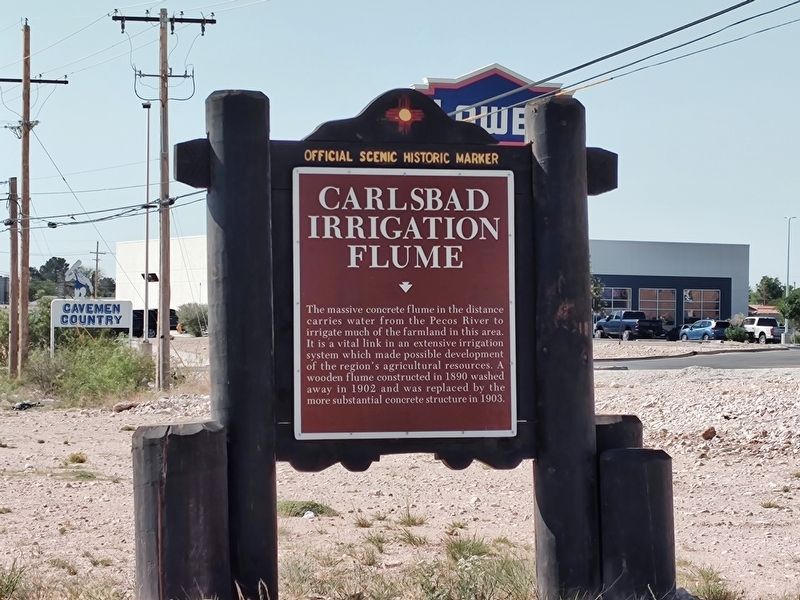
1. Carlsbad Irrigation Flume Marker
The massive concrete flume in the distance carries water from the Pecos River to irrigate much of the farmland in this area. It is a vital link in an extensive irrigation system which made possible development of the region's agricultural resources. A wooden flume constructed in 1890 washed away in 1902 and was replaced by the more substantial concrete structure in 1903.
Erected by New Mexico Historic Preservation Division.
Topics. This historical marker is listed in these topic lists: Agriculture • Bridges & Viaducts • Waterways & Vessels. A significant historical year for this entry is 1903.
Location. 32° 26.636′ N, 104° 15.678′ W. Marker is in Carlsbad, New Mexico, in Eddy County. It is on West Pierce Street near US 285 (U.S. 285), on the right when traveling south. Touch for map. Marker is at or near this postal address: 2638 W Pierce St, Carlsbad NM 88220, United States of America. Touch for directions.

Regionally, this marker is in the Pecos Valley. It is also in the American Southwest, on the Great Plains, on the Southern Plains, and specifically on the High Plains. Globally, it is in
this page online
Other nearby markers. At least 6 other markers are within 14 miles of this marker, measured as the crow flies: A different marker also named Carlsbad Irrigation Flume (approx. ¼ mile away); Civilian Conservation Corps Carlsbad Campsite (approx. ¼ mile away); a different marker also named Carlsbad Irrigation Flume (approx. ¼ mile away); Mother Magdalen and the Sisters of Loretto (1852 - 1968) / Carlsbad (approx. 3.2 miles away); Josephine Cox "Grandma" Anderson (approx. 3.2 miles away); Goodnight-Loving Trail (approx. 12.3 miles away). Touch for a list and map of all markers in Carlsbad.
Other markers no longer nearby. Eddy County Courthouse (was approx. 2½ miles away but has been confirmed missing); Loving's Bend (was approx. 13.9 miles away but has been permanently removed).
More about this marker. This is one of three markers with the same title and text in the same general area. It has the same text on both sides.
Photographed by Jimmy Emerson, May 24, 2026
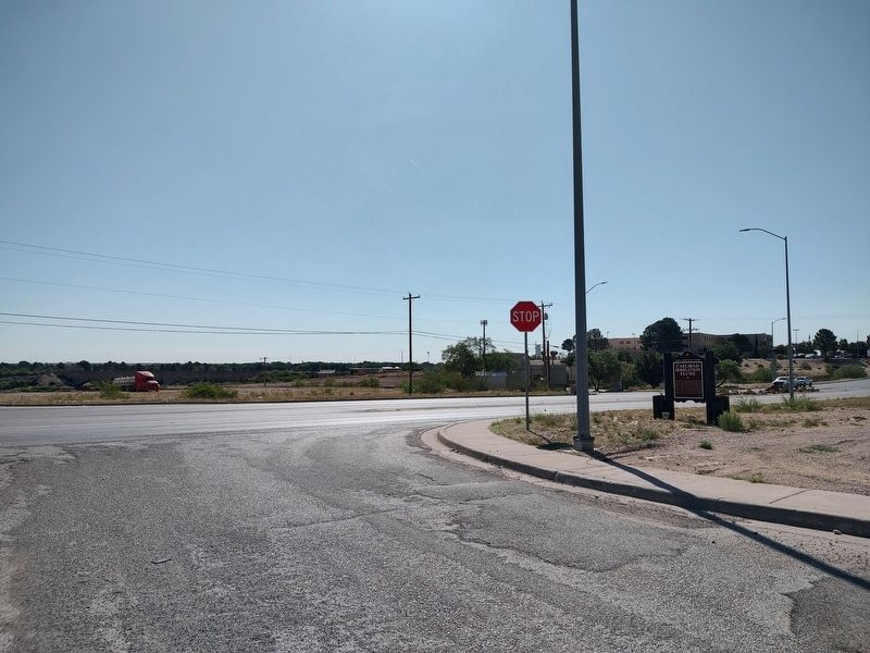
2. Carlsbad Irrigation Flume Marker
Credits. This page was last revised on June 30, 2026. It was originally submitted on May 24, 2026, by Jimmy Emerson of Dalton, Georgia. This page has been viewed 22 times since then. Photos: 1, 2. submitted on May 24, 2026, by Jimmy Emerson of Dalton, Georgia. • J. Makali Bruton was the editor who published this page.
