Gettysburg in Adams County, Pennsylvania — The American Northeast (Mid-Atlantic)
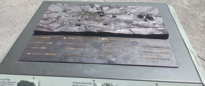
Gettysburg Orientation Map
Photographed by William Pope, May 19, 2026
1. Gettysburg Orientation Map
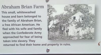
Abraham Brian Farm
This small, whitewashed house and barn belonged to the family of Abraham Brian, a free African American. He fled with his wife and family when the Confederate Army approached for fear of being taken into slavery. They returned to find their home and property in ruins.
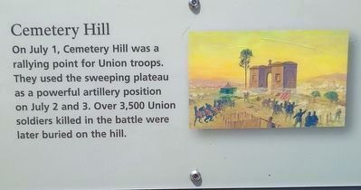
Cemetery Hill
On July 1, Cemetery Hill was a rallying point for Union troops. They used the sweeping plateau as a powerful artillery position on July 2 and 3. Over 3,500 Union soldiers killed in the battle were later buried on the hill.
Cemetery Ridge
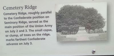
Cemetery Ridge, roughly parallel to the Confederate position on Seminary Ridge, served as the main position of the Union Army on July 2 and 3. The small copse, or clump, of trees on the ridge, marks farthest Confederate advance on July 3.
Culp's Hill
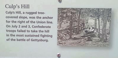
Culp's Hill, a rugged tree-covered slope, was the anchor for the right of the Union line. On July 2 and 3, Confederate troops failed to take the hill in the most sustained fighting of the battle of Gettysburg.
Emmitsburg Road
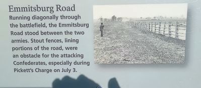
Running diagonally through the battlefield, the Emmitsburg Road stood between the two armies. Stout fences,
this page online
Little Round Top
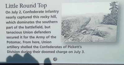
On July 2, Confederate infantry nearly captured this rocky hill, which dominates the southern part of the battlefield, but tenacious Union defenders secured it for the Army of the Potomac. From here, Union artillery shelled the Confederates of Pickett's Division during their doomed charge on July 3.
Pennsylvania Memorial
Completed in 1910, the Pennsylvania Memorial, the largest monument on the Gettysburg Battlefield, honors the 34,500 Pennsylvanians that fought in the battle. Its location, on Cemetery Ridge, is near the center of the Union battle line.
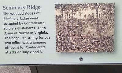
Seminary Ridge
The wooded slopes of Seminary Ridge were occupied by Confederate soldiers of Robert E. Lee's Army of Northern Virginia. The ridge, stretching for over two miles, was a jumping off point for Confederate attacks on July 2 and 3.
The Widow Thompson House
On the afternoon of July 1, Confederate General Robert E. Lee established his headquarters at Mary Thompson's home located where the Chambersburg Pike crosses Seminary
Photographed by William Pope, May 19, 2026
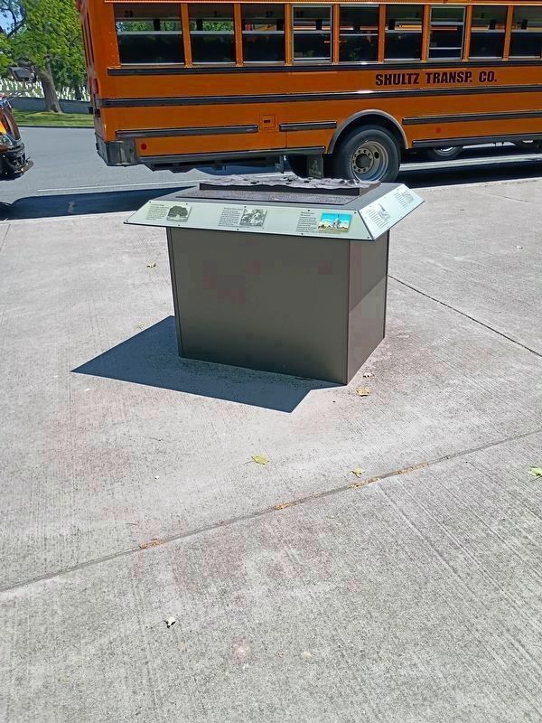
2. Gettysburg Orientation Map
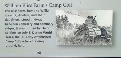
William Bliss Farm/Camp Colt
The Bliss farm, home to William, his wife, Adeline, and their daughters, stood midway between Cemetery and Seminary ridges. It was burned by Union soldiers on July 3. During World War I, the US Army established Camp Colt, a tank training ground, here.
Topics. This historical marker is listed in these topic lists: African Americans • Cemeteries & Burial Sites • War, US Civil • War, World I. A significant historical month for this entry is July 1863.
Location. 39° 48.983′ N, 77° 13.97′ W. Marker is in Gettysburg, Pennsylvania, in Adams County. It is on Cyclorama Drive west of Taneytown Road (Pennsylvania Route 134), on the right when traveling south. Located at the south end of the Soldiers' National Cemetery Parking Lot. Touch for map. Marker is at or near this postal address: Cyclorama Drive, Gettysburg PA 17325, United States of America. Touch for directions.

Regionally, this marker is in South-Central Pennsylvania. It is also in the American Northeast, in the Mid-Atlantic, in Appalachia, and specifically in Northern Appalachia. Globally,
Photographed by William Pope, May 19, 2026
3. Abraham Brian Farm Marker
Other nearby markers. At least 8 other markers are within walking distance of this marker: Maryland (within shouting distance of this marker); Delaware (within shouting distance of this marker); 7th West Virginia Infantry (within shouting distance of this marker); 3rd New York Independent Battery (within shouting distance of this marker); 12th Massachusetts (about 300 feet away, measured in a direct line); 6th Independent Battery, New York Artillery (about 400 feet away); Battery G, Second U.S. Artillery (about 400 feet away); Catherine Guinn Farm (about 400 feet away). Touch for a list and map of all markers in Gettysburg.
Photographed by William Pope, May 19, 2026
4. Cemetery Hill Marker
Photographed by William Pope, May 19, 2026
5. Cemetery Ridge Marker
Photographed by William Pope, May 19, 2026
6. Culp's Hill Marker
Photographed by William Pope, May 19, 2026
7. Emmitsburg Road Marker
Photographed by William Pope, May 19, 2026
8. Little Round Top Marker

Photographed by William Pope, May 19, 2026
9. Pennsylvania Memorial Marker
Photographed by William Pope, May 19, 2026
10. Seminary Ridge Marker

Photographed by William Pope, May 19, 2026
11. The Widow Thompson House Marker
Photographed by William Pope, May 19, 2026
12. William Bliss Farm/Camp Colt Marker
Credits. This page was last revised on June 9, 2026. It was originally submitted on May 25, 2026, by William Pope of Marietta, Pennsylvania. This page has been viewed 45 times since then. Photos: 1, 2, 3, 4, 5, 6, 7, 8, 9, 10, 11, 12. submitted on May 25, 2026, by William Pope of Marietta, Pennsylvania. • Bernard Fisher was the editor who published this page.
