Custer in Custer County, South Dakota — The American Midwest (Upper Plains)
Historic Site
Photographed by William Fischer, Jr., September 24, 2026
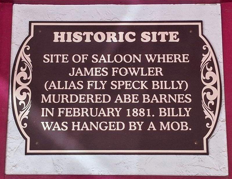
1. Historic Site Marker
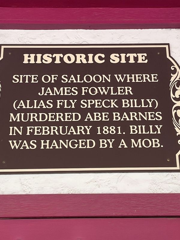
Site of saloon where James Fowler (alias Fly Speck Billy) murdered Abe Barnes in February 1881. Billy was hanged by a mob.
Topics. This historical marker is listed in these topic lists: Law Enforcement • Notable Events. A significant historical year for this entry is 1881.
Location. 43° 46.002′ N, 103° 35.957′ W. Marker is in Custer, South Dakota, in Custer County. It is on Mount Rushmore Road 0.1 miles west of S Sixth Street, on the right when traveling west. Touch for map. Marker is at or near this postal address: 541 Mt Rushmore Road, Custer SD 57730, United States of America. Touch for directions.

Regionally, this marker is in West River and in Greater Rapid City. It is also in the American Black Hills, in the Lewis & Clark Corridor, on the prairies, and on the Northern Plains. Globally, it is in North America, the Western Hemisphere, the Western World, and the Anglosphere. Historically, it finds itself in what was once Rupert’s Land and also the Louisiana Purchase.
Other nearby markers. At least 8 other markers are within walking distance of this marker: First National Bank of Dakota Territory (within
this page online
Photographed by Thomas Smith, May 18, 2026
2. Historic Site Marker
Photographed by William Fischer, Jr., September 24, 2026
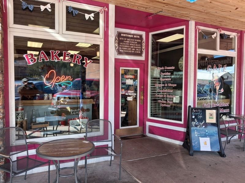
3. Historic Site Marker
Credits. This page was last revised on October 6, 2026. It was originally submitted on May 31, 2026, by Thomas Smith of Waterloo, Ill. This page has been viewed 33 times since then. Photos: 1. submitted on October 6, 2026, by William Fischer, Jr. of Reynoldsburg, Ohio. 2. submitted on May 31, 2026, by Thomas Smith of Waterloo, Ill. 3. submitted on October 6, 2026, by William Fischer, Jr. of Reynoldsburg, Ohio. • Andrew Ruppenstein was the editor who published this page.
Editor’s want-list for this marker. photo of the marker within its surroundings • Can you help?
