Near Port Haywood in Mathews County, Virginia — The American South (Mid-Atlantic)
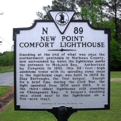
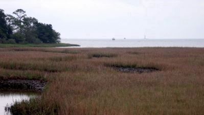
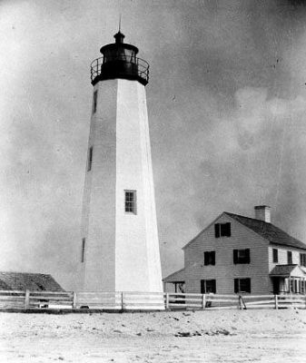
New Point Comfort Lighthouse
Erected 1996 by Department of Historic Reources. (Marker Number N-89.)
Topics and series. This historical marker is listed in these topic lists: Industry & Commerce • Man-Made Features • Notable Buildings • War, US Civil • Waterways & Vessels. In addition, it is included in the Lighthouses, and the Virginia Department of Historic Resources (DHR) series lists. A significant historical year for this entry is 1801.
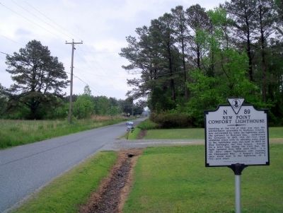
Location. 37° 19.884′ N, 76° 17.17′ W. Marker is near Port Haywood, Virginia, in Mathews County. Marker is at the intersection of Lighthouse Road (Route 600) and Old Bayside Drive (Virginia Route 14), on the right when traveling east on Lighthouse Road. Touch for map. Marker is in this post office area: Port Haywood VA 23138, United States of America. Touch for directions.
Other nearby markers. At least 8 other markers are within 8 miles of this marker, measured as the crow flies. Kingston Parish (approx. 6.1 miles away); Captain Sally L. Tompkins, C.S.A. Monument (approx. 6.1 miles away); Tompkins Cottage Museum (approx. 7.3 miles away); Fort Cricket Hill (approx. 7.3 miles away); Civil War In Mathews County (approx. 7.3 miles away); Mathews County Confederate Monument (approx. 7.3 miles away); Captain Sally L. Tompkins, C.S.A. (approx. 7.3 miles away); Mathews County Courthouse Square (approx. 7.3 miles away).
Also see . . .
1. New Point Comfort History. (Submitted on April 26, 2010.)
2. New Point Comfort Light. Wikipedia article about New Point Comfort Lighthouse. (Submitted on April 27, 2010, by Jeff Conner of Norfolk, Virginia.)
3. New Point Comfort Lighthouse. National Register of Historic Places (Submitted on November 10, 2021.)
Credits. This page was last revised on November 10, 2021. It was originally submitted on April 26, 2010, by Bernard Fisher of Richmond, Virginia. This page has been viewed 1,223 times since then and 47 times this year. Photos: 1, 2, 3, 4. submitted on April 26, 2010, by Bernard Fisher of Richmond, Virginia.


