Highland in Utah County, Utah — The American Mountains (Southwest)
American Fork Weir

Photographed by Jeremy Snow, June 1, 2026
1. American Fork Weir Marker
Erected 2019
this page online
Topics. This historical marker is listed in these topic lists: Man-Made Features • Settlements & Settlers • Waterways & Vessels. A significant historical month for this entry is May 1851.
Location. 40° 25.933′ N, 111° 45.165′ W. Marker is in Highland, Utah, in Utah County. It is on West 11000 North, on the right when traveling west. Touch for map. Marker is at or near this postal address: 4200 UT-92, Pleasant Grove UT 84062, United States of America. Touch for directions.

Regionally, this marker is in the Wasatch Front and in Greater Provo. It is also in the American Mountain West and on the Colorado Plateau. Globally, it is in North America, the Rocky Mountains, the Western Hemisphere, the Western World, and the Anglosphere. Historically, it finds itself in what was once New Spain and also Mexico’s Alta California.
Other nearby markers. At least 8 other markers are within 3 miles of this marker, measured as the crow flies: Upper American Fork Hydroelectric Power Plant (approx. 1.6 miles away); Fort Mountainville (approx. 1.9 miles away); Site of Two Alpine Churches (approx.
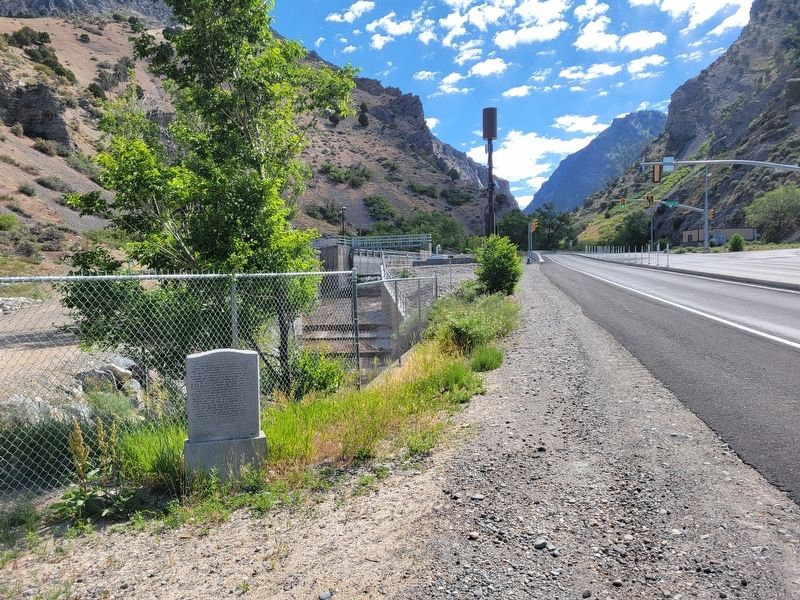
Photographed by Jeremy Snow, June 1, 2026
2. American Fork Weir Marker
Credits. This page was last revised on June 3, 2026. It was originally submitted on June 2, 2026, by Jeremy Snow of Cedar City, Utah. This page has been viewed 19 times since then. Photos: 1, 2. submitted on June 2, 2026, by Jeremy Snow of Cedar City, Utah. • Andrew Ruppenstein was the editor who published this page.
