
Near Hopewell in Prince George County, Virginia — The American South (Mid-Atlantic)
Samuel Jordan of Jordan's Journey
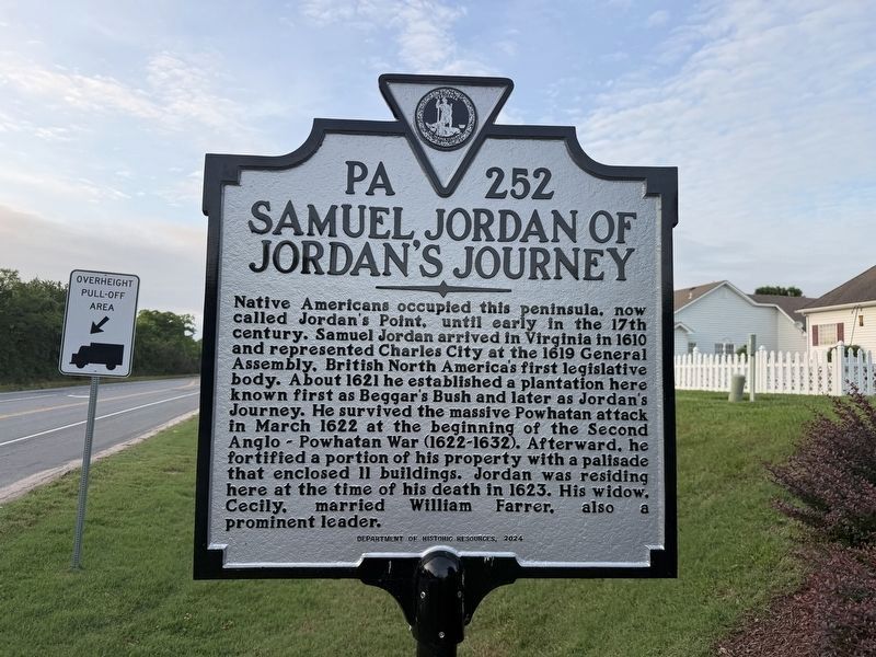
Native Americans occupied this peninsula, now called Jordan's Point, until early in the 17th century. Samuel Joran arrived in Virginia in 1610 and represented Charles City ant the 1691 General Assembly, British North America's first legislative body. About 1621 he established a plantation here known as Beggar's Bush and later as Jordan's Journey. He survived the massive Powhatan attack in March 1622 at the beginning of the Second Anglo-Powhatan War (1622-1632). Afterward, he fortified a portion of his property with a palisade that enclosed 11 buildings. Joran was residing here at the time of his death in 1623. His widow, Cecily, married William Farrer, also a prominent leader.
Erected 2024 by Department of Historic Resources. (Marker Number PA-252.)
Topics and series. This historical marker is listed in these topic lists: Colonial Era • Forts and Castles • Settlements & Settlers • Wars, US Indian. In addition, it is included in the Virginia Department of Historic Resources (DHR) series list. A significant historical month for this entry is March 1622.
Location. 37° 18.389′ N, 77° 13.355′ W. Marker is near Hopewell,
this page online

Regionally, this marker is in Coastal Virginia. It is also in the American South, specifically in the Upper South, in the Tidewater, and on the Eastern Seaboard. Globally, it is in the North Atlantic Region, North America, the Western Hemisphere, the Western World, and the Anglosphere. Historically, it finds itself in what was once the territory of the Mississippian Culture, one of the original Thirteen Colonies, one of the Confederate States of America, and the Antebellum South.
Other nearby markers. At least 8 other markers are within 3 miles of this marker, measured as the crow flies: Richard Bland (within shouting distance of this marker); Evergreen (approx. 1.7 miles away); Capt. John Woodliffe (approx. 2.4 miles away); Shipyard of the Revolution (approx. 2.4 miles away); Commemorating the 350th Anniversary at Berkeley Hundred
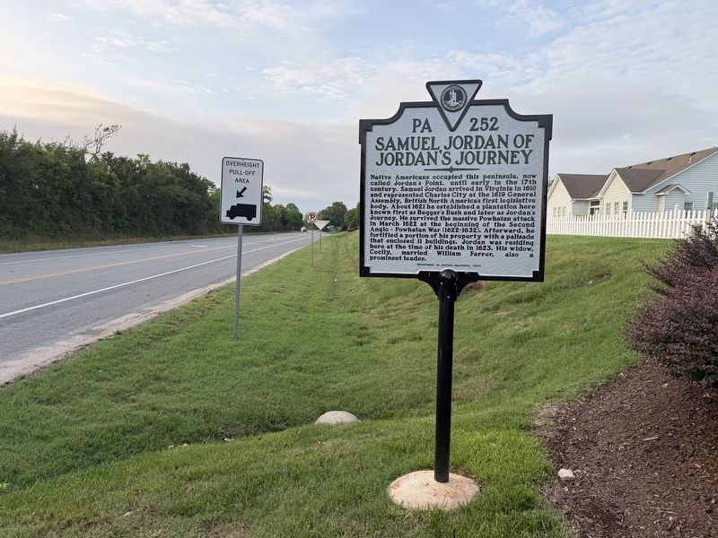
Another marker is no longer nearby. Samuel Jordan of Jordan's Journey (has been replaced with this marker).
Credits. This page was last revised on June 3, 2026. It was originally submitted on June 3, 2026, by Devry Becker Jones of Washington, District of Columbia. This page has been viewed 42 times since then. Photos: 1, 2. submitted on June 3, 2026, by Devry Becker Jones of Washington, District of Columbia.
