
Munster in Lake County, Indiana — The American Midwest (Great Lakes)
Pollinators at Heritage Park

Photographed by Daniel Barriball, April 25, 2026
1. Pollinators at Heritage Park Marker
Monarch migration path
Did you know?
Munster Indiana is on the direct path that Monarchs fly north from Mexico in the spring and south from Canada in the fall.
We help by providing Milkweed as their host plants for the caterpillars, and nectar from native flowers, especially late summer blooms.
The trees provide shelter for butterflies at night.
Pollination is a partnership!
Life cycle of the monarch butterfly
Mama monarchs lay a small pointy egg on the underside of a milkweed leaf.
The egg will hatch in a couple of days.
The small caterpillar larvae will eat and eat and eat its host plant—milkweed!
The hungry catterpillar will grow up to 3" long and sprout antennae and grippy feet that keeps it firmly on its host plant through rain and wind.
The caterpillar eats until its ready to rest in its chrysalis and in a few weeks it will change from green to clear and emerge as a beautiful butterfly!
[Photo captions:]
nenwesh (potawatomi)—milkweed (english)
me'me'ge' (potawatomi)—butterfly (english)
Heritage Park Natural History—Timeline
12,000 yrs ago
Ridge Road was called the Calumet Shoreline of Lake Michigan
11,200 yrs ago
The
this page online
From 11,200 BC to the 18th century
Potawatomi and Miami Tribes used the trail known as the Calumet Beach Trail, as a short cut between the Great Lakes and the Great Prairies. Vast wetlands were known as the Cady-Marsh; the rich soil grew ancient mnomen rice farmed for centuries by Indian Tribes.
1837
The Indian Trail was widened for stagecoach use and named The Old Pike. The Gibson Inn was the first building in Munster, built here as a respite for travelers
1845
The Brass Family Tavern replaced the Gibson Inn, Stallbohm barn came later
1910
The Kaske House was built by the local Kooy Brothers
1986
Helen Kaske Bieker sells her land to the Town of Munster. Munster parks renames the area Heritage Park and Bieker Woods
1997
Munster becomes a Tree City
2006
The Woodland Restoration Project helped to restore the Oak Savanna woodland
2022
Heritage Park is a Monarch Waystation & Munster becomes a Monarch City
2023
1st Monarch Fest
Current day—
many volunteers help out at Heritage Park!
Erected by Munster Parks & Recreation.
Topics. This historical
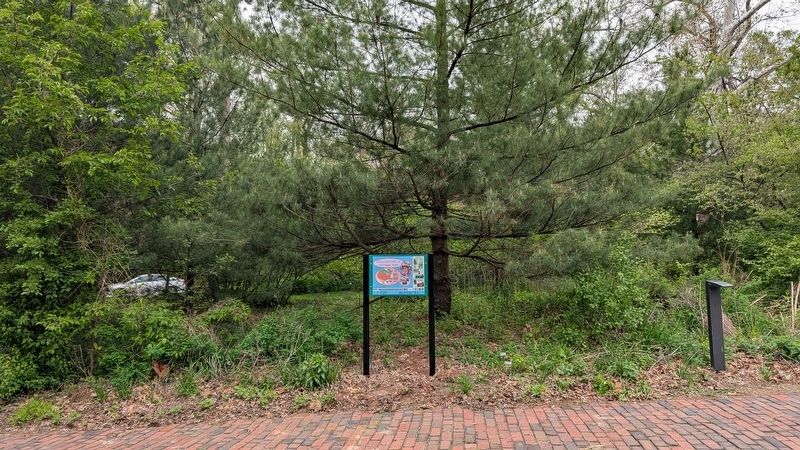
Photographed by Daniel Barriball, April 25, 2026
2. Pollinators at Heritage Park Marker in context
Location. 41° 33.55′ N, 87° 30.022′ W. Marker is in Munster, Indiana, in Lake County. It can be reached from the intersection of Ridge Road and Columbia Avenue, on the right when traveling east. This marker stands south of the Kaske House along the driveway in Heritage Park. Touch for map. Marker is at or near this postal address: 1154 Ridge Rd, Munster IN 46321, United States of America. Touch for directions.

Regionally, this marker is in Northwest Indiana and in the Calumet Region. It is also in the American Midwest and in the Corn Belt. Globally, it is in North America, on the Great Lakes, in the Western Hemisphere, in the Western World, and in the Anglosphere. Historically, it finds itself in what was once the territory of the Mississippian Culture and also the Northwest Territory.
Other nearby markers. At least 8 other markers are within walking distance of this marker: Native Plants of Heritage Park & Bieker Woods (within shouting distance of this marker); The power of the wind has been used to pump water for hundreds of years. (within shouting distance of this marker); Stallbohm Barn-Kaske House (within shouting distance of this marker); Munster's Beginnings / How did Munster get its name? (within shouting distance of this marker); Brass Tavern / Kaske House (within shouting distance of this marker); Site of Brass Tavern (about 300 feet away, measured in a direct line); Bieker Woods (about 300 feet away); A Blooming Town (about 300 feet away). Touch for a list and map of all markers in Munster.
Credits. This page was last revised on June 10, 2026. It was originally submitted on June 4, 2026, by Daniel Barriball of Chesterton, Indiana. This page has been viewed 16 times since then. Photos: 1, 2. submitted on June 4, 2026, by Daniel Barriball of Chesterton, Indiana. • Devry Becker Jones was the editor who published this page.
