West Ocean View in Norfolk, Virginia — The American South (Mid-Atlantic)
Landing of Wool and Surrender of Norfolk
Photographed by Devry Becker Jones (CC0), June 3, 2026
1. Landing of Wool and Surrender of Norfolk Marker
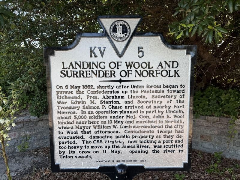
On 6 May 1862, shortly after Union forces began to pursue the Confederates up the Peninsula toward Richmond, Pres. Abraham Lincoln, Secretary of War Edwin M. Stanton, and Secretary of the Treasury Salmon P. Chase arrived at nearby Fort Monroe. In an operation planned in part by Lincoln, about 5,000 soldiers under Maj. Gen. John E. Wool landed near here on 10 May and marched to Norfolk, where Mayor William W. Lamb surrendered the city to Wool that afternoon. Confederate troops had evacuated, damaging public property as they departed. The CSS Virginia, now lacking a port and too heavy to move up the James River, was scuttled by its crew on 11 May, opening the river to Union vessels.
Erected 2023 by Department of Historic Resources. (Marker Number KV-5.)
Topics and series. This historical marker is listed in these topic lists: War, US Civil • Waterways & Vessels. In addition, it is included in the Virginia Department of Historic Resources (DHR) series list. A significant historical date for this entry is May 6, 1862.
Location. 36° 57.488′ N, 76° 15.384′ W. Marker is in Norfolk, Virginia. It is in West Ocean View. It is
this page online

Regionally, this marker is in Virginia’s Hampton Roads, specifically in Coastal Virginia, and in the Hampton Roads Metropolitan Area. It is also in the American South, specifically in the Upper South, in the Tidewater, and on the Eastern Seaboard. Globally, it is in the North Atlantic Region, North America, the Western Hemisphere, the Western World, and the Anglosphere. Historically, it finds itself in what was once the territory of the Mississippian Culture, one of the original Thirteen Colonies, one of the Confederate States of America, and the Antebellum South.
Other nearby markers. At least 8 other markers are within 2 miles of this marker, measured as the crow flies: Operation Torch, 1942 (about 400 feet away, measured in a direct line); Flagship Sarah Constant (approx. 0.2 miles away); Susan Constant Shrine (approx. 0.2 miles away); USS Intrepid (CV-11) (approx. 0.2 miles away);

Photographed by Devry Becker Jones (CC0), June 3, 2026
2. Landing of Wool and Surrender of Norfolk Marker
Another marker is no longer nearby. Landing of Wool and Surrender of Norfolk (has been replaced with this marker).
Credits. This page was last revised on June 5, 2026. It was originally submitted on June 5, 2026, by Devry Becker Jones of Washington, District of Columbia. This page has been viewed 19 times since then. Photos: 1, 2. submitted on June 5, 2026, by Devry Becker Jones of Washington, District of Columbia.
