Wethersfield in Capitol Region, Connecticut — The American Northeast (New England)
Wethersfield
"The Most Ancient Towne in Connecticut"
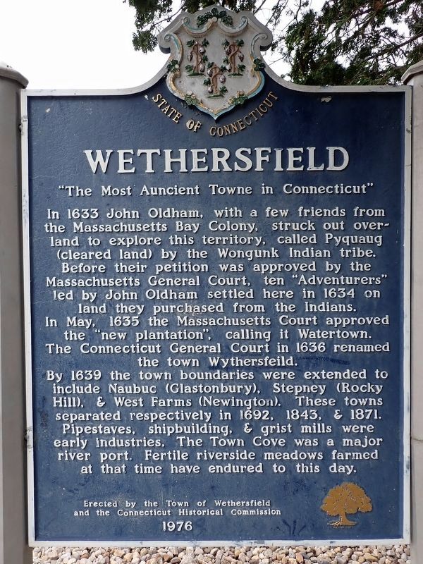
Photographed by Conrad Ward, May 25, 2025
1. Wethersfield Marker
In 1633 John Oldham, with a few friends from the Massachusetts Bay Colony, struck out overland to explore this territory, called Pyquaug (cleared land) by the Wongunk Indian tribe. Before their petition was approved by the Massachusetts General Court, ten "Adventurers" led by John Oldham settled here in 1634 on land they purchased from the Indians. In May, 1635 the Massachusetts Court approved the "new plantation", calling it Watertown. The Connecticut General Court in 1636 renamed the town Wythersfeild.
By 1639 the town boundaries were extended to include Naubuc (Glastonbury), Stepney (Rocky Hill), & West Farms (Newington). These towns separated respectively in 1692, 1843, & 1871. Pipestaves, shipbuilding, & grist mills were early industries. The Town Cove was a major river port. Fertile riverside meadows farmed at that time have endured to this day.
Erected 1976 by Town of Wethersfield & Connecticut Historical Commission.
Topics. This historical marker is listed in these topic lists: Indigenous Peoples and Communities • Industry & Commerce • Settlements & Settlers • Waterways & Vessels. A significant historical year for this entry is 1633.
Location. 41° 42.696′ N,
this page online

Regionally, this marker is in the Connecticut River Valley, in Greater Hartford, and in the Knowledge Corridor. It is also in the American Northeast and in New England. Globally, it is in North America, the Western Hemisphere, the Western World, and the Anglosphere. Historically, it finds itself in what was once Hartford County and also one of the original Thirteen Colonies.
Other nearby markers. At least 8 other markers are within walking distance of this marker: A different marker also named Wethersfield (approx. half a mile away); Rev. Joseph Emerson (approx. half a mile away); The Old Academy (approx. half a mile away); Silas Deane House (approx. 0.6 miles away); Home of Silas Deane

Photographed by Conrad Ward, May 25, 2025
2. Wethersfield Marker
Credits. This page was last revised on June 11, 2026. It was originally submitted on June 6, 2026, by Conrad Ward of Guilford, Connecticut. This page has been viewed 16 times since then. Photos: 1, 2. submitted on June 6, 2026, by Conrad Ward of Guilford, Connecticut. • Devry Becker Jones was the editor who published this page.
