Coburg in Merri-Bek, Victoria, Australia — Oceania
Sydney Road
early 1900s
Photographed by Dean Barton-Ancliffe, June 3, 2026
1. Sydney Road Marker
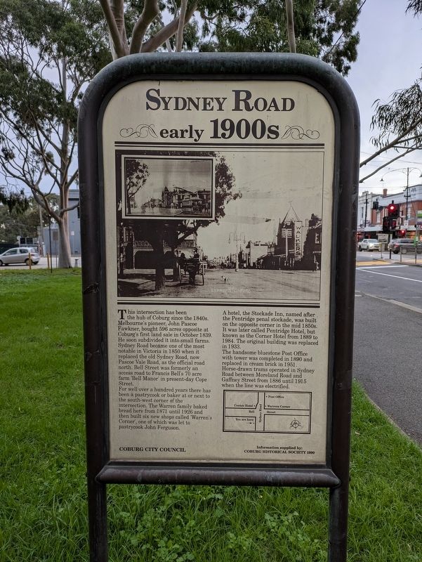
For well over a hundred years there has been a pastrycook or baker at or next to the south-west corner of the intersection. The Warren family baked bread here from 1871 until 1926 and then built six new shops called 'Warren's Corner', one of which was let to pastrycook John Ferguson.
A hotel, the Stockade Inn, named after the Pentridge penal stockade, was built on the opposite corner in the mid 1850s. It was later called Pentridge Hotel, but known as the Corner Hotel from 1889 to 1984. The original building was replaced in 1933.
The handsome bluestone Post Office with tower was completed in 1890 and replaced in cream brick in 1951. Horse-drawn
this page online
Erected 1990 by Coburg City Council.
Topics. This historical marker is listed in these topic lists: Colonial Era • Industry & Commerce • Roads & Vehicles • Settlements & Settlers. A significant historical month for this entry is October 1839.
Location. 37° 44.456′ S, 144° 58.011′ E. Marker is in Coburg, Victoria, in Merri-Bek. It is at the intersection of Sydney Road (Victoria Route 55) and Bell Street ( Route 40), on the left when traveling south on Sydney Road. Touch for map. Marker is at or near this postal address: 512 Sydney Road, Coburg VIC 3058, Australia. Touch for directions.

Regionally, it is in Oceania, in Australasia, in the Pacific Ocean, in South Pacific, on the Pacific Rim, in the Western World, and in the Anglosphere. Historically, it finds itself in what was once a British colony.
Other nearby markers. At least 8 other markers are within 8 kilometers of this marker, measured as the crow flies: The Muster (approx. 0.4 kilometers away); The Watchtowers (approx. half a kilometer
Photographed by Dean Barton-Ancliffe, June 3, 2026
2. The rear of the Sydney Road Marker
Also see . . . Coburg and Coburg City. Victorian Places
Coburg is a suburb 8 km north of central Melbourne, extending north from Moreland Road, Brunswick, to Gaffney Street, Coburg North. Its central spine is Sydney Road.(Submitted on June 7, 2026, by Dean Barton-Ancliffe of Rowville, Victoria.)
Coburg city had Moreland Road as its southern boundary and extended north to Boundary Road, Fawkner. Its western boundary was the Moonee Ponds Creek and Northumberland Road, and its eastern boundary was the Merri Creek and a line prolonged from the east side of the Coburg cemetery.
Survey
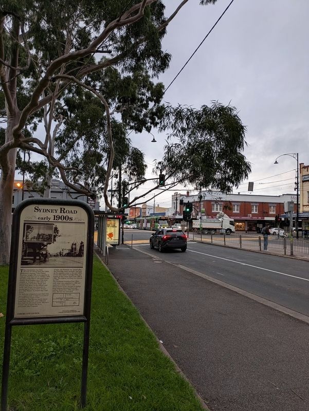
The boundary creeks partly explain the subdivision of the area into farm allotments in 1840, with a village reserve east of Sydney Road, south of where Edgars Creek joins the Merri Creek. Most allotments were surveyed so as to havewater access. The village did not come to much: named Pentridge, no particularly convincing case has been made out for the origin of the name. Its fate was sealed when part of it was taken for a penal stockade in 1850.Photographed by Dean Barton-Ancliffe, June 3, 20263. Sydney Road MarkerBell Street Intersection.
Photographed by Dean Barton-Ancliffe, June 3, 2026
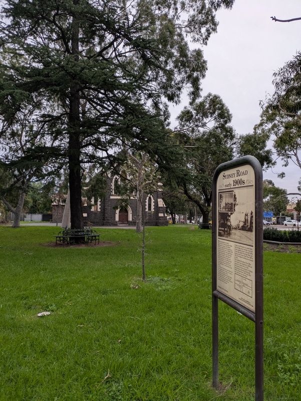
4. Bluestone Church behind the Marker
Credits. This page was last revised on September 24, 2026. It was originally submitted on June 7, 2026, by Dean Barton-Ancliffe of Rowville, Victoria. This page has been viewed 26 times since then. Photos: 1, 2, 3, 4. submitted on June 7, 2026, by Dean Barton-Ancliffe of Rowville, Victoria. • Andrew Ruppenstein was the editor who published this page.
