Old Wethersfield in Capitol Region, Connecticut — The American Northeast (New England)
Hanmer Park
Seafarers, Shipbuilders & Soldiers
| — | Wethersfield Heritage Walk | — |
Photographed by Conrad Ward, May 25, 2025
1. Hanmer Park Marker
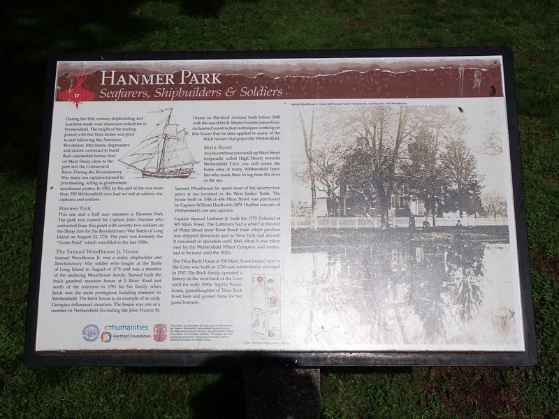
During the 18th century shipbuilding and maritime trade were dominant industries in Wethersfield. The height of the trading period with the West Indies was prior to and following the American Revolution. Merchants, shipmasters and sailors continued to build their substantial homes here on Main Street, close to the port and the Connecticut River. During the Revolutionary War many sea captains turned to privateering, acting as government sanctioned pirates. In 1783, by the end of the war more than 550 Wethersfield men had served as sailors, sea captains and soldiers.
Hanmer Park
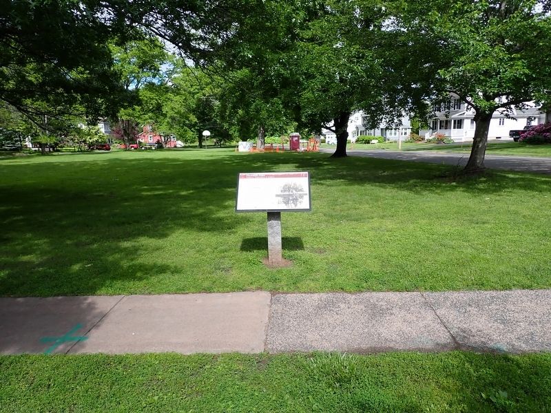
This one and a half acre common is Hanmer Park. The park was named for Captain John Hanmer who embarked from this point with seventy-two soldiers on the Sloop Ann for the Revolutionary War Battle of Long Island on August 23, 1776. The park was formerly the “Goose Pond” which was filled in the late 1920s.
The Samuel Woodhouse Jr. House
Samuel Woodhouse Jr. was a sailor, shipbuilder and Revolutionary War soldier who fought at the Battle of Long Island in August of 1776 and was a member of the seafaring Woodhouse family. Samuel built the brick
this page online
Main Street
As you continue your walk up Main Street (originally called High Street) towards Wethersfield Cove you will notice the home sites of many Wethersfield families who made their living from the river or the sea.
Samuel Woodhouse Sr. spent most of his seventy-two years at sea involved in the West Indies Trade. The house built in 1748 at 484 Main Street was purchased by Captain William Hurlbut in 1870. Hurlbut was one of Wethersfield’s last sea captains.
Captain Samuel Lattimer Jr. built his 1775 Colonial at 505 Main Street. The Lattimers had a wharf at the end of Water Street (now River Road)
Photographed by Conrad Ward, May 25, 2025
2. Hanmer Park Marker
The Titus Buck House at 538 Main Street located next to the Cove was built in 1730 and substantially enlarged in 1767. The Buck family operated a fishery on the west bank of the Cove until the early 1900s. Sophia Woodhouse, granddaughter of Titus Buck lived here and gained fame for her grass bonnets.
(image caption)
Samuel Woodhouse Jr. House with Goose Pond in foreground, courtesy Mrs. Fred Woodhouse.
Erected 2016 by Town of Wethersfield, Wethersfield Historical Society, Webb-Deane-Stevens Museum, Wethersfield Tourism Commission, Wethersfield Residents, Connecticut Humanities, & Hartford Foundation For Public Giving. (Marker Number 17.)
Topics. This historical marker is listed in these topic lists: Industry & Commerce • Parks & Recreational Areas • War, US Revolutionary • Waterways & Vessels. A significant historical date for this entry is August 23, 1776.
Location. 41° 43.142′ N, 72° 39.148′ W. Marker is in Wethersfield in Capitol Region, Connecticut. It is in Old Wethersfield. It is at the intersection of Main Street and River Road, on the right when traveling north on Main Street. Touch for map. Marker is in this post office area: Wethersfield CT 06109, United States of America. Touch for directions.

Regionally, this marker is in the Connecticut River Valley, in Greater Hartford, and in the Knowledge Corridor. It is also in the American Northeast and in New England. Globally, it is in North America, the Western Hemisphere, the Western World, and the Anglosphere. Historically, it finds itself in what was once Hartford County and also one of the original Thirteen Colonies.
Other nearby markers. At least 8 other markers are within walking distance of this marker: The Stillman Tavern (approx. ¼ mile away); The Cradle of American Seed Companies (approx. ¼ mile away); Cove Park (approx. 0.3 miles away); Early Settlement of Wethersfield (approx. 0.3 miles away); Trinity Parish (approx. 0.3 miles away); Comstock, Ferre & Co. (approx. 0.4 miles away); Washington – Rochambeau Revolutionary Route (approx. half a mile away); Webb House (approx. half a mile away). Touch for a list and map of all markers in Wethersfield.
Credits. This page was last revised on June 13, 2026. It was originally submitted on June 7, 2026, by Conrad Ward of Guilford, Connecticut. This page has been viewed 22 times since then. Photos: 1, 2. submitted on June 7, 2026, by Conrad Ward of Guilford, Connecticut. • Michael Herrick was the editor who published this page.
