Moffett Field in Santa Clara County, California — The American West (Pacific Coastal)
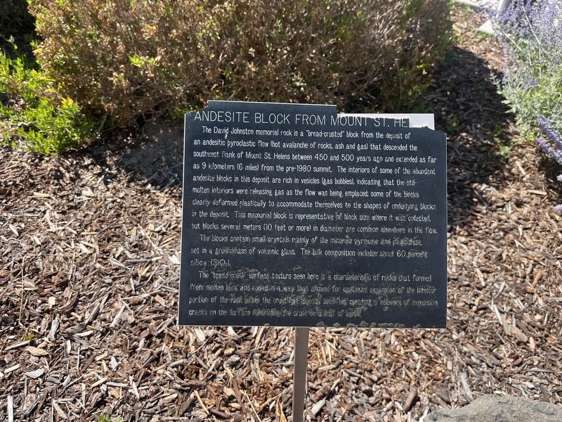
Andesite Block from Mt. St. Helens
Photographed by Adam Margolis, June 9, 2026
1. Andesite Block from Mt. St. Helens Marker
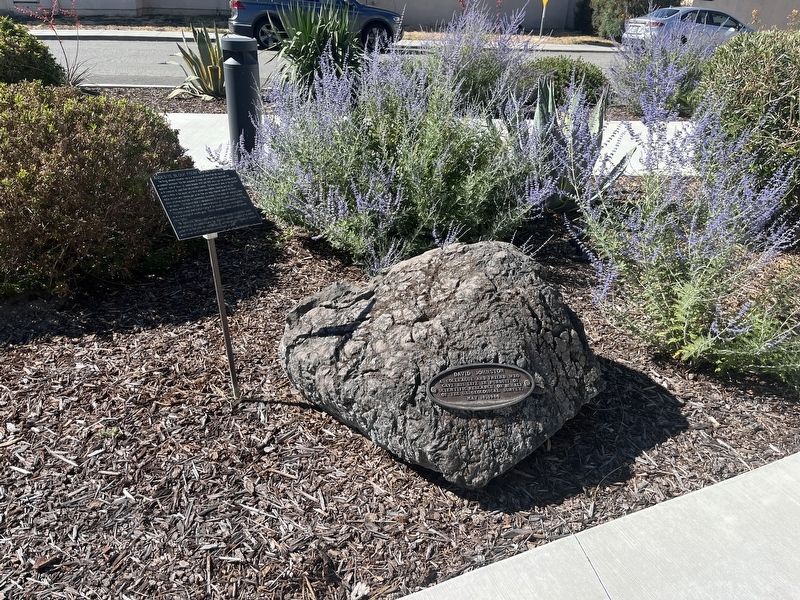
The David Johnston memorial rock is a "bread-crusted" block from the deposit of an andesitic pyroclastic flow (hot avalanche of rocks, ash and gas) that descended the southwest flank of Mount St. Helens between 450 and 500 years ago and extended as far as 9 kilometers (6 miles) from the pre-1980 summit. The interiors of some of the abundant andesite blacks in this deposit are rich in vesicles (gas bubbles), indicating that the still molten interiors were releasing gas as the flow was being, emplaced. Some of the blocks clearly deformed plastically to accommodate themselves to the shapes of underlying blocks in the deposit. This memorial block is representative of block size where it was collected, but blocks several meters (10 feet or more) in diameter are common elsewhere in the flow.
The blocks contain small crystals mainly of the pyroxene and plagioclas, set in a groundmass of volcanic glass. The built composition includes about 60 percent silica (SiO2).
The "bread baked" surface texture seen here is a characteristic of rocks that formed from molten lava and cooled in a what that allowed for continued expansion
this page online
Topics. This historical marker is listed in these topic lists: Natural Features • Science & Medicine. A significant historical date for this entry is May 18, 1980.
Location. 37° 24.716′ N, 122° 3.341′ W. Marker is in Moffett Field, California, in Santa Clara County. It is at the intersection of S Akron Road and Severyns Avenue, on the right when traveling east on S Akron Road. Touch for map. Marker is at or near this postal address: 450 Severyns Avenue, Mountain View CA 94043, United States of America. Touch for directions.

Regionally, this marker is in California’s San Francisco Bay Area and on the Coast Ranges. It is also on the American Pacific Coast. Globally, it is in North America, on the Ring of Fire, on the Pacific Rim, in the Western Hemisphere, in the Western World, and in the Anglosphere. Historically, it finds itself in what was once New Spain and also Mexico’s Alta California.
Other nearby markers. At least 8 other markers are within walking
Photographed by Adam Margolis, June 9, 2026
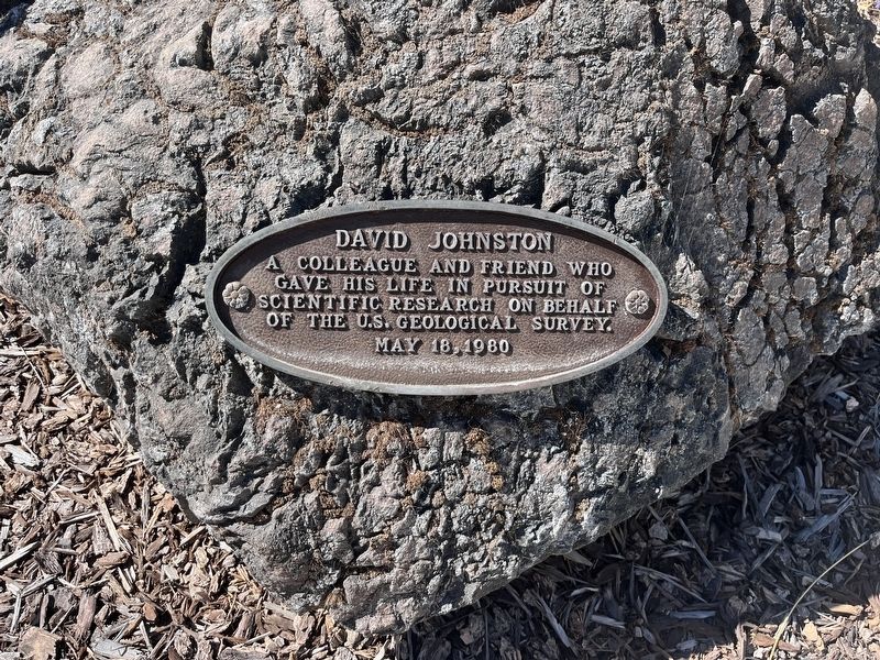
2. Andesite Block from Mt. St. Helens Marker
Also see . . . David A. Johnston (Wikipedia). Overview:
David Alexander Johnston (December 18, 1949 – May 18, 1980) was an American United States Geological Survey (USGS) volcanologist who was killed by the 1980 eruption of Mount St. Helens in the U.S. state of Washington. A principal scientist on the USGS monitoring team, Johnston was killed in the eruption while manning an observation post six miles (10 km) away on the morning of May 18, 1980. He was the first to report the eruption, transmitting "Vancouver! Vancouver! This is it!" before he was swept away by a lateral blast; despite a thorough search, Johnston's body was never found, but state highway workers discovered remnants(Submitted on June 11, 2026.)of his USGS trailer in 1993.Photographed by Adam Margolis, June 9, 20263. Andesite Block from Mt. St. Helens Marker
Credits. This page was last revised on June 11, 2026. It was originally submitted on June 10, 2026, by Adam Margolis of Mission Viejo, California. This page has been viewed 15 times since then. Photos: 1, 2, 3. submitted on June 10, 2026, by Adam Margolis of Mission Viejo, California. • Andrew Ruppenstein was the editor who published this page.
