McDowell in Highland County, Virginia — The American South (Mid-Atlantic)
War Comes to McDowell
"The Parlor Had Been Used as a Hospital"
| — | Virginia Civil War Trails | — |

Photographed by Mark P. Brock-Cancellieri, March 27, 2026
1. War Comes to McDowell Marker
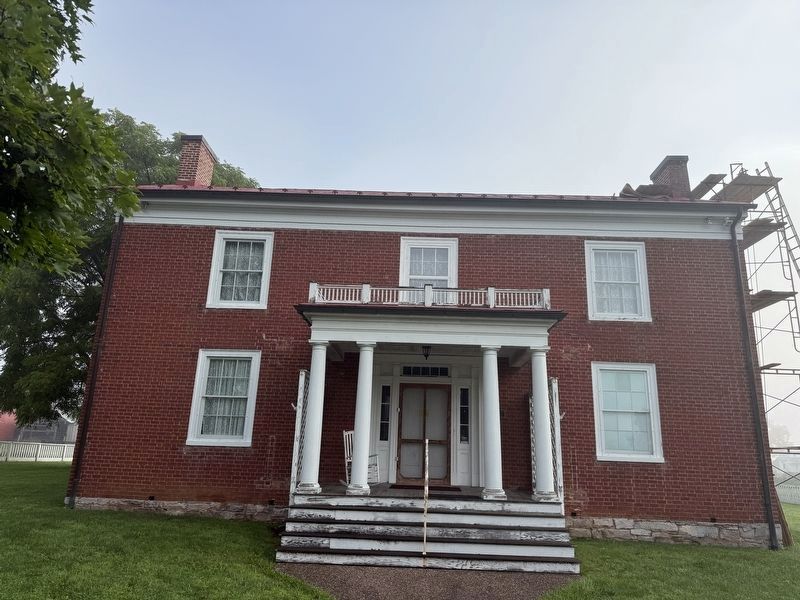
Entering this house, the Mansion House (The George Washing Hull House), on May 9, 1862, the day after the Battle of McDowell, a VMI Cadet witnessed a horrifying scene. "The parlor had been used as a hospital; there was a dead man laid on top of the piano, and in the dining-room on the table there was a [man with] the front half of his head entirely empty; yet he still breathed."
Union and Confederate troops had visited McDowell earlier, but the battle on May 8, 1862, brought the full horrors of war. It's likely that every building in town was used as a hospital, including the Presbyterian Church, where the Confederates discovered 12 dead Federals after the battle. Fallen from both sides were buried in the cemetery across from the church.
The Felix Hull House (built ca. 1855), the red brick house 500 feet to your right, was used as a headquarters by both Federals and Confederates, including Gen. Stonewall Jackson. Felix Hull died at his home of "camp fever" on October 31, 1861, but the widow Hull and her family were among the few resident who were still in McDowell during the battle; most had left after the Federals
this page online
"In a few days a city of tents appeared to rise as if by magic in the beautiful valley of McDowell." —Rev. W.T. Price, a circuit rider based in McDowell
(captions)
George Washington Hull was a delegate to the Virginia Secession Convention in 1861 but died of typhoid fever in April 1862. Images courtesy Highland Historical Society
McDowell, c. 1880s
Buildings Present During the War
To explore all the sites on the McDowell walking tour, grab a map in the museum, Sugar Tree Store or the visitor center in Monterey.
Erected by Virginia Civil War Trails.
Topics and series. This historical marker is listed in this topic list: War, US Civil. In addition, it is included in the Virginia Civil War Trails series list. A significant historical date for this entry is May 8, 1862.
Location. 38° 20.189′ N, 79° 29.498′ W. Marker is in McDowell, Virginia, in Highland County. It can be reached from Mansion House Road west of Doe Hill Road (Virginia Route 654), on the right when traveling west. The marker is located on the grounds of the Highland County Museum at the Mansion House. Touch for map. Marker is
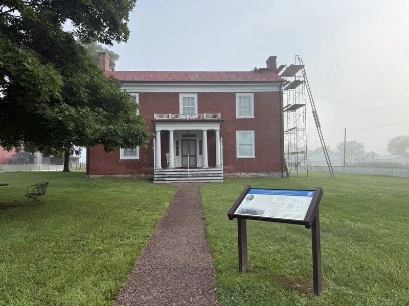
Photographed by Devry Becker Jones (CC0), August 8, 2026
2. War Comes to McDowell Marker with the Mansion House visible in the background

Regionally, this marker is in the Shenandoah Valley, in the Alleghany Highlands, and specifically in the Potomac Highlands. It is also in the American South, specifically in the Upper South, in Appalachia, and specifically in Southern Appalachia. Globally, it is in North America, the Western Hemisphere, the Western World, and the Anglosphere. Historically, it finds itself in what was once the territory of the Mississippian Culture, one of the original Thirteen Colonies, one of the Confederate States of America, and the Antebellum South.
Other nearby markers. At least 8 other markers are within walking distance of this marker: Highway To War (about 700 feet away); a different marker also named Battle of McDowell (about 700 feet away); Felix Hull House (about 700 feet away); The Guns of Cemetery Hill (approx. ¼ mile away); The Church and Cemetery (approx. 0.3 miles away); McDowell VA - May 8, 1862 (approx. 0.3 miles away); McDowell Presbyterian Church (approx. 0.3 miles away); a different marker also

Photographed by Mark P. Brock-Cancellieri, March 27, 2026
3. War Comes to McDowell Marker on the museum grounds
Other markers no longer nearby. Highway to War (was about 700 feet away, measured in a direct line but has been reported to have been replaced with another marker now near it); Battle of McDowell (was about 700 feet away but has been replaced with another marker now near it); Battle Of McDowell (was approx. ¼ mile away but has been replaced with another marker now near it); Village of McDowell (was approx. 0.3 miles away but has been replaced with another marker now near it).
Also see . . . Highland Historical Society. (Submitted on June 15, 2026.)
Additional commentary.
1. About the Mansion House
Built in 1851, it is a two-story, three bay, "L"-shaped brick dwelling in the Greek Revival style. Also on the property are a contributing frame shed and the sites of a log kitchen structure and outbuilding. The house served as an American Civil War hospital in the time around the Battle of McDowell on May 8, 1862. In 1886, the building was sold to James and Mary Bradshaw, who operated it as a hotel until
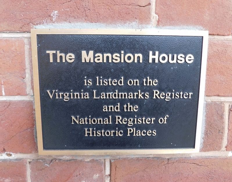
Photographed by Bradley Owen, October 17, 2023
4. National Register of Historic Places and Virginia Historic Landmarks plaque for The Mansion House
— Submitted August 9, 2026, by Bradley Owen of Morgantown, West Virginia.
Credits. This page was last revised on August 9, 2026. It was originally submitted on June 12, 2026, by Mark P. Brock-Cancellieri of Baltimore, Maryland. This page has been viewed 25 times since then. Photos: 1. submitted on June 12, 2026, by Mark P. Brock-Cancellieri of Baltimore, Maryland. 2. submitted on August 9, 2026, by Devry Becker Jones of Washington, District of Columbia. 3. submitted on June 12, 2026, by Mark P. Brock-Cancellieri of Baltimore, Maryland. 4. submitted on November 7, 2023, by Bradley Owen of Morgantown, West Virginia. 5. submitted on August 9, 2026, by Devry Becker Jones of Washington, District of Columbia. • Bernard Fisher was the editor who published this page.
