Spaarndam in Haarlem, North Holland, Netherlands — Northwestern Europe
De Grote Haarlemmersluis
⎯⎯⎯
The Grote Haarlemmersluis

Photographed by Andrew Ruppenstein, May 31, 2026
1. De Grote Haarlemmersluis / The Great Haarlem Sluice Marker

In het dorp Spaarndam lag vroeger maar één sluis, de Kleine Haarlemmersluis uit 1519. Later, in 1569, kwam er een veel grotere sluis bij: de Grote Haarlemmersluis. Dankzij deze sluis konden er grotere zeeschepen naar Haarlem komen. Haarlem kon daardoor ook zelf grote schepen bouwen. Maar er waren problemen. In 1572 was het beleg van de Spanjaarden in de buurt van Haarlem. De sluis lag midden in het gebied. Ook waren er ruzies tussen Haarlem en het hoogheemraadschap van Rijnland over wie de sluis moest onderhouden. Het dorp werd een paar keer in brand gestoken door soldaten, maar steeds weer opgebouwd. De sluis raakte gaandeweg in slechte staat en moest vernieuwd worden. Hij werd breder, dieper en langer gemaakt. In 1898 werd de sluis nog dieper gemaakt: wel 5 meter diep. Dat was nodig voor de scheepsbouw in Haarlem en later Spaarndam. Schepen werden gebouwd op de afmetingen van de sluis, zoals vrachtschepen en snijkopzuigers, die in Spaarndam gebouwd werden.
Tussen 2009 en 2011 werd de sluis opnieuw aangepast. Deze keer werd hij juist smaller en minder diep. Dat was nodig om te zorgen
this page online
The Grote Haarlemmersluis
The village of Spaarndam originally had only one lock: the Kleine Haarlemmersluis, dating from 1519. Later, in 1569, a much larger lock was added: the Grote Haarlemmersluis. This lock enabled larger seagoing vessels to reach Haarlem, which in turn allowed the city to build large ships itself. However, there were problems. In 1572, Spanish forces besieged the area near Haarlem, and the lock was situated right in the middle of the conflict zone. There were also disputes between Haarlem and the Rijnland Water Board regarding responsibility for the lock's maintenance. Although the village was set on fire by soldiers on several occasions, it was rebuilt each time. Over time, the lock fell into disrepair and required renovation; it was made wider, deeper, and longer. In 1898, the lock was deepened further—reaching a depth of five meters. This was necessary to accommodate shipbuilding in Haarlem and, later, in Spaarndam.
Photographed by Andrew Ruppenstein, May 31, 2026
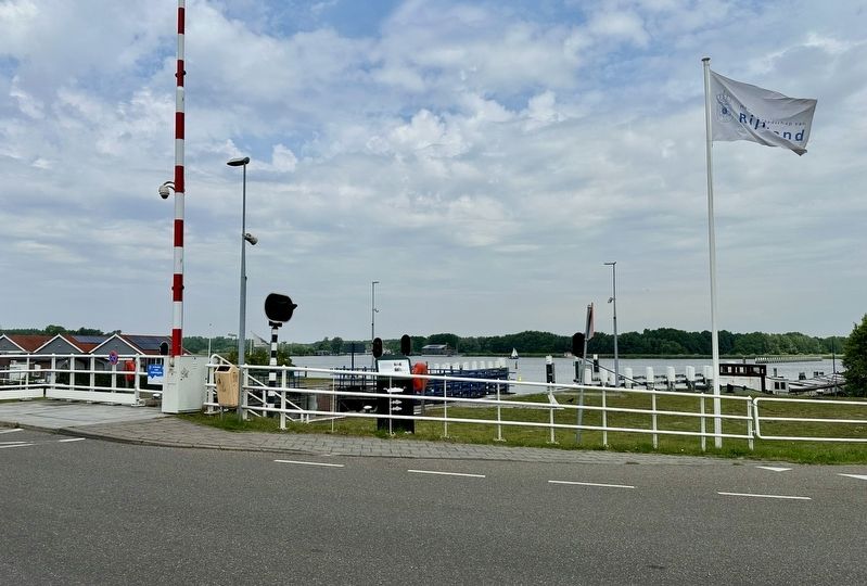
2. De Grote Haarlemmersluis / The Grote Haarlemmersluis Marker - wide view
The marker is visible here in the center of the picture, peeking over the railing.
Between 2009 and 2011, the lock was modified again. This time, however, it was made narrower and shallower. This was necessary to reduce the amount of saltwater entering the Rijnland area. Shipbuilding operations were relocated to Amsterdam because newly built ships could no longer fit through the lock.
Erected 2026 by Gemeente Haarlem.
Topics. This historical marker is listed in these topic lists: Man-Made Features • Waterways & Vessels. A significant historical year for this entry is 1519.
Location. 52° 24.795′ N, 4° 40.93′ E. Marker is in Spaarndam, Noord-Holland (North Holland), in Haarlem. It is on Spaarndammerdijk. Touch for map. Marker is at or near this postal address: Spaarndammerdijk 31, Spaarndam, Noord-Holland 2064 XA, Netherlands. Touch for directions.

Regionally, it is in Europe, the European Union, Atlantic Europe, the Benelux Low Countries, the Schengen Area, Western Europe, and the Western World. Historically, it finds itself in what was once the Holy Roman Empire.
Photographed by Andrew Ruppenstein, May 31, 2026
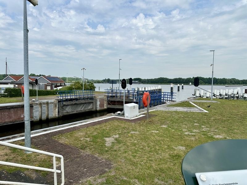
3. View of the lock from the marker location
Other nearby markers. At least 8 other markers are within walking distance of this marker: Het Rijnlandshuis / The Rijnland House (within shouting distance of this marker); Het Rijnlandshuis / The Rijnlandshuis (about 120 meters away, measured in a direct line); Het haarlemse huis / The Haarlem House (about 210 meters away); Woerdersluis / Woerder Sluice (about 240 meters away); a different marker also named Woerdersluis / Woerder Sluice (about 240 meters away); Palingrokerij Balm en palinghandel / Balm Eel Smokehouse and Eel Trading (approx. 0.2 kilometers away); Spaarndam (approx. 0.3 kilometers away); Hulpsecretarie / Municipal Branch Office (approx. 0.3 kilometers away). Touch for a list and map of all markers in Spaarndam.
Also see . . . De Grote Haarlemmersluis. The QR code on the marker leads to this page, providing nothing additional other than informational sources. (Submitted on June 13, 2026.)
Photographed by Andrew Ruppenstein, May 31, 2026
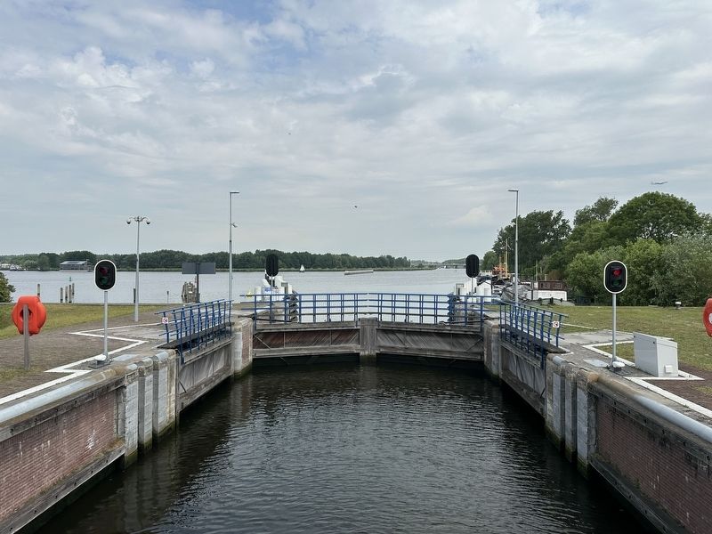
4. Additional view of the lock

Photographed by J. van Koot (courtesy Noord-Hollands Archief, Inventaris 36609), 1913
5. De groote Sluis, Spaarndam
Credits. This page was last revised on July 16, 2026. It was originally submitted on June 13, 2026, by Andrew Ruppenstein of Lamorinda, California. This page has been viewed 16 times since then. Photos: 1, 2, 3, 4. submitted on June 13, 2026, by Andrew Ruppenstein of Lamorinda, California. 5. submitted on July 16, 2026, by Andrew Ruppenstein of Lamorinda, California.
