Cascade Valley in Akron in Summit County, Ohio — The American Midwest (Great Lakes)
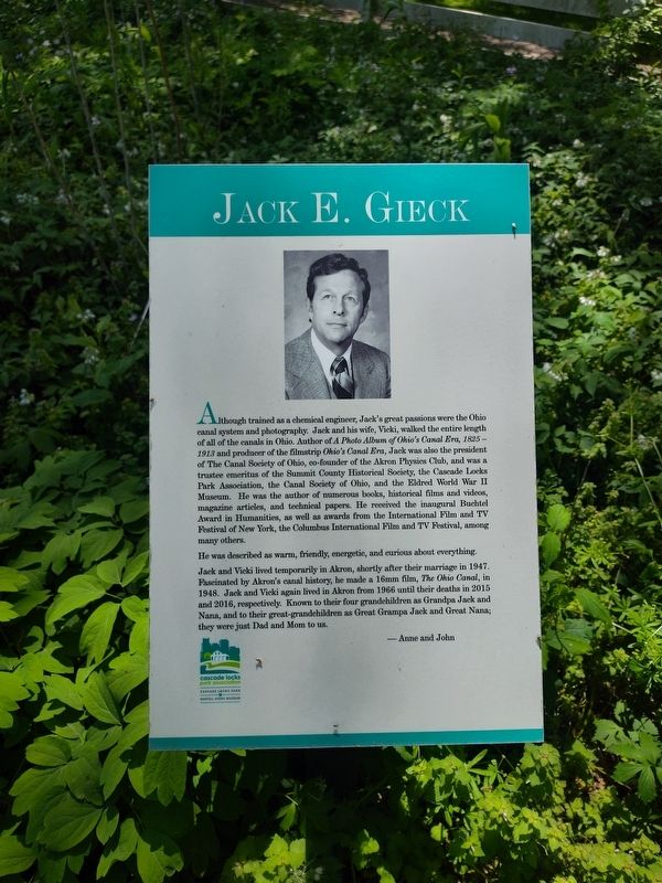
Jack E. Gieck
Photographed by Craig Doda, May 10, 2026
1. Jack E. Gieck Marker
He was described as warm, friendly, energetic, and curious about everything.
Jack and Vicki lived temporarily in Akron, shortly after their marriage in 1947. Fascinated by Akron's canal history, he made a 16mm film, The Ohio Canal, in 1948. Jack and Vicki again lived in Akron
this page online
- Anne and John
Erected by Cascade Locks Park Association.
Topics and series. This historical marker is listed in these topic lists: Parks & Recreational Areas • Waterways & Vessels. In addition, it is included in the Ohio and Erie Canal series list. A significant historical year for this entry is 1825.
Location. 41° 5.504′ N, 81° 31.113′ W. Marker is in Akron, Ohio, in Summit County. It is in Cascade Valley. It is at the intersection of West North Street and Hickory Street, on the right when traveling west on West North Street. Touch for map. Marker is at or near this postal address: 234 Ferndale St, Akron OH 44304, United States of America. Touch for directions.

Regionally, this marker is in Greater Cleveland and in the Western Reserve. It is also in the American Midwest. Globally, it is in North America, the Western Hemisphere, the Western World, and the Anglosphere. Historically, it finds
Photographed by Craig Doda, May 10, 2026
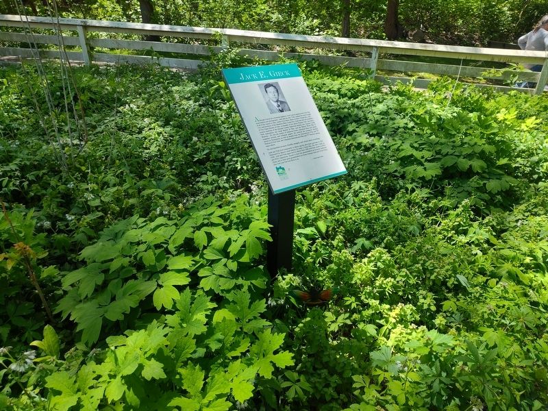
2. Jack E. Gieck Marker
Other nearby markers. At least 8 other markers are within walking distance of this marker: Robert Bruce Norton (here, next to this marker); Lynn Rodeman Metzger (here, next to this marker); Freitag Garden (within shouting distance of this marker); Preserving "The Jewel of the Canal" (within shouting distance of this marker); The Cascade Valley / The Mustill Site (within shouting distance of this marker); When Flour was Power (about 400 feet away, measured in a direct line); Dynamics of Change in Cascade Locks Park (about 400 feet away); The Canal Basin (about 500 feet away). Touch for a list and map of all markers in Akron.
Credits. This page was last revised on June 16, 2026. It was originally submitted on June 13, 2026, by Craig Doda of Napoleon, Ohio. This page has been viewed 12 times since then. Photos: 1, 2. submitted on June 13, 2026, by Craig Doda of Napoleon, Ohio. • Devry Becker Jones was the editor who published this page.
