West Jordan in Salt Lake County, Utah — The American Mountains (Southwest)
Wight's Fort Cemetery
Photographed by Jeremy Snow, June 12, 2026
1. Wight's Fort Cemetery Marker
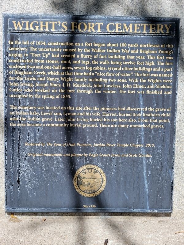
The cemetery was located on this site after the pioneers had discovered the grave of an Indian baby. Lewis' son, Lyman and his wife, Harriet, buried their firstborn child near the Indian grave. Later John Irving buried his son here also. From that point, the area became a community burial ground. There are many unmarked graves.
Restored by The Sons of Utah
this page online
Originál monument and plaque by Eagle Scouts Jason and Scott Goudie.
Erected 2015 by Sons of Utah Pioneers. (Marker Number 190.)
Topics and series. This historical marker is listed in these topic lists: Cemeteries & Burial Sites • Forts and Castles • Indigenous Peoples and Communities • Settlements & Settlers. In addition, it is included in the Sons of Utah Pioneers series list. A significant historical year for this entry is 1854.
Location. 40° 35.256′ N, 111° 58.459′ W. Marker is in West Jordan, Utah, in Salt Lake County. It is on 9000 South, on the right when traveling east. Marker located at the west end of the cemetery. Touch for map. Marker is at or near this postal address: 3465 9000 S, West Jordan UT 84088, United States of America. Touch for directions.

Regionally, this marker is in the Wasatch Front and in Greater Salt Lake. It is also in the American Mountain West and on the Colorado Plateau. Globally, it is in North America, the Rocky Mountains, the Western Hemisphere, the Western World, and the Anglosphere. Historically, it finds itself in what
Photographed by Jeremy Snow, June 12, 2026
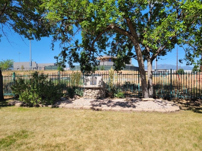
2. Wight's Fort Cemetery Marker
Other nearby markers. At least 8 other markers are within 3 miles of this marker, measured as the crow flies: A different marker also named Wight's Fort Cemetery (within shouting distance of this marker); Welby (approx. one mile away); Commerce Location (approx. 2 miles away); Air Pirates Memorial (approx. 2.1 miles away); Salt Lake and Utah Railroad (approx. 2.1 miles away); Utah Idaho Sugar Factory (approx. 2.1 miles away); The Grove (approx. 2.9 miles away); Irrigation (approx. 2.9 miles away). Touch for a list and map of all markers in West Jordan.
Photographed by Jeremy Snow, June 12, 2026
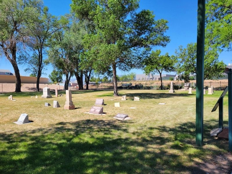
3. Wight's Fort Cemetery
Credits. This page was last revised on June 16, 2026. It was originally submitted on June 15, 2026, by Jeremy Snow of Cedar City, Utah. This page has been viewed 15 times since then. Photos: 1, 2, 3. submitted on June 15, 2026, by Jeremy Snow of Cedar City, Utah. • Andrew Ruppenstein was the editor who published this page.
