
Prairie du Chien in Crawford County, Wisconsin — The American Midwest (Great Lakes)
Site of Courtney Boudrie Home
Photographed by Nate Gilberts, June 2026
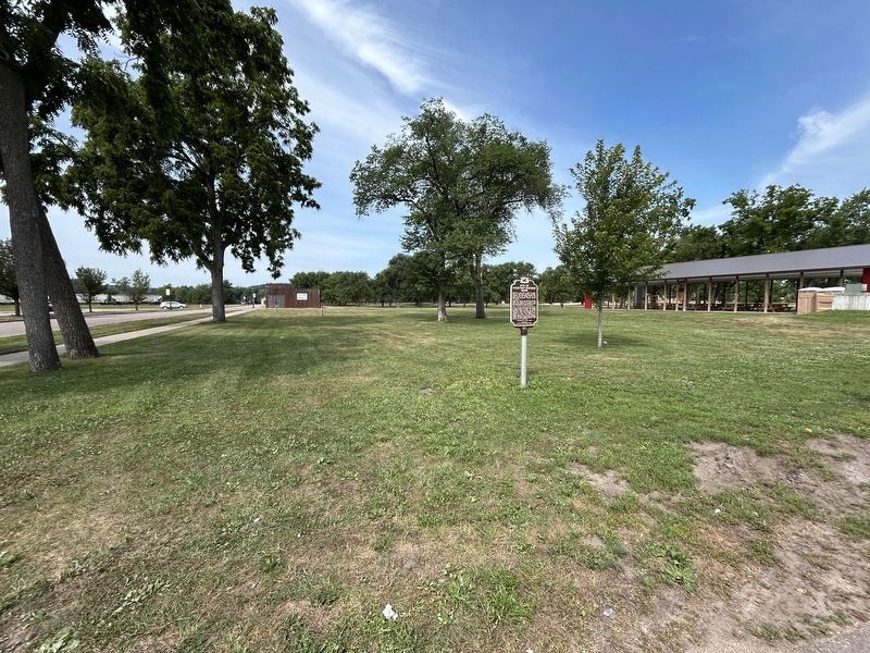
1. Site of Courtney Boudrie Home Marker
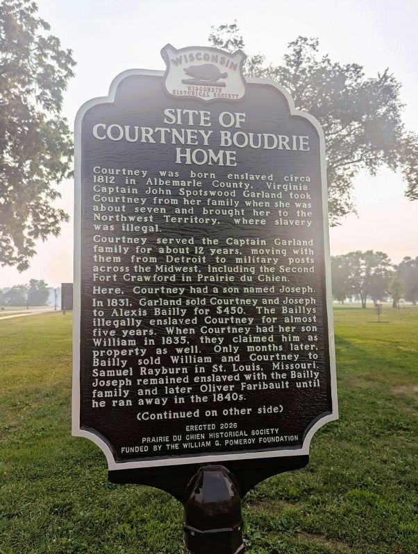
Courtney was born enslaved circa 1812 in Albemarle County, Virginia. Captain John Spotswood Garland took Courtney from her family when she was about seven and brought her to the Northwest Territory, where slavery was illegal.
Courtney served the Captain Garland family for about 12 years, moving with them from Detroit to military posts across the Midwest, including the Second Fort Crawford in Prairie du Chien. Here, Courtney had a son named Joseph.
In 1831, Garland sold Courtney and Joseph to Alexis Bailly for $450. The Baillys illegally enslaved Courtney for almost five years. When Courtney had her son William in 1835, they claimed him as property as well. Only months later, Bailly sold William and Courtney to Samuel Rayburn in St. Louis, Missouri. Joseph remained enslaved with the Bailly family and later Oliver Faribault until he ran away in the 1840s.
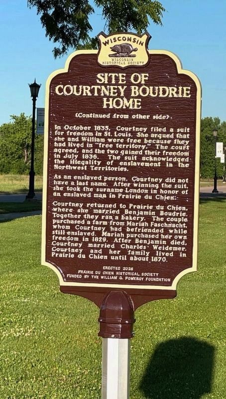
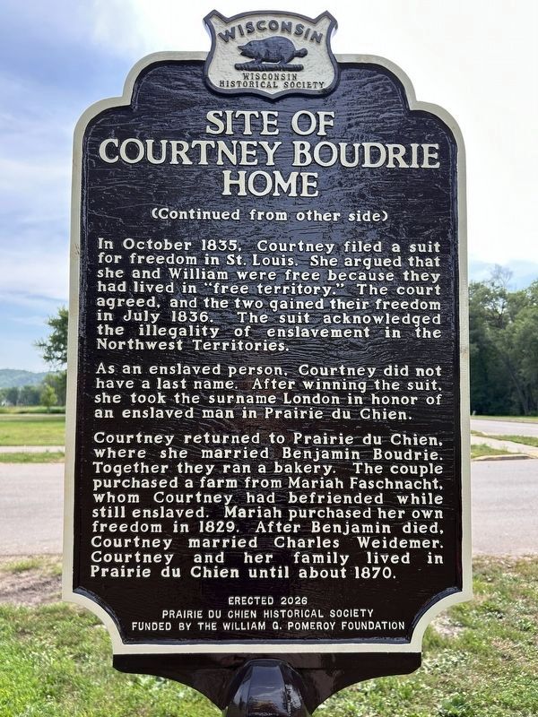
In October 1835, Courtney filed a suit for freedom in St. Louis. She argued that she and William were free because they had lived in “free territory.” The court agreed, and the two gained their freedom in July 1836. The suit acknowledged the illegality of enslavement in the Northwest Territories.
As an enslaved person, Courtney did not have a last name. After winning the suit, she took the surname London in honor of an enslaved man in Prairie du Chien.
Courtney returned to Prairie du Chien, where she married Benjamin Boudrie. Together they ran a bakery. The couple purchased a farm from Mariah Faschnacht, whom Courtney had befriended while still enslaved. Mariah purchased her own freedom in 1829. After Benjamin died, Courtney married Charles Weidemer. Courtney and her family lived in Prairie du Chien until about 1870.
Erected 2026 by Prairie du Chien Historical Society; Wisconsin Historical Society; William G. Pomeroy Foundation. (Marker
this page online
Topics and series. This historical marker is listed in these topic lists: Abolition & Underground RR • African Americans • Civil Rights. In addition, it is included in the William G. Pomeroy Foundation, and the Wisconsin Historical Society series lists. A significant historical month for this entry is July 1836.
Location. 43° 3.085′ N, 91° 9.388′ W. Marker is in Prairie du Chien, Wisconsin, in Crawford County. It is on North Villa Louis Road north of West Blackhawk Avenue, on the left when traveling north. Touch for map. Marker is at or near this postal address: 109 North Villa Louis Road, Prairie du Chien WI 53821, United States of America. Touch for directions.

Regionally, this marker is in the American Midwest, in the Corn Belt, in the Driftless Area — Bluff Country, and in the Great River Road Region. Globally, it is in North America, the Western Hemisphere, the Western World, and the Anglosphere. Historically, it finds itself in what was once the Viceroyalty of New France, the territory of the Mississippian Culture, and the Northwest Territory.
Other nearby markers. At least 8 other markers are within
Photographed by Gordon Govier, July 19, 2026
2. Site of Courtney Boudrie Home Marker
Another marker is no longer nearby. Villa Louis (was approx. 0.4 miles away but has been replaced with another marker now near it).
Additional keywords. human trafficking
Photographed by Gordon Govier, July 19, 2026
3. Site of Courtney Boudrie Home Marker
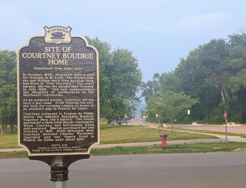
Photo of Courtney Boudrie Home Marker showing Blackhawk Avenue and downtown Prairie du Chien in the far background.
Photographed by Devon Polzar, 2026
4. Site of Courtney Boudrie Home Marker (Reverse Side)
Photographed by Devon Polzar, 2026
5. Site of Courtney Boudrie Home Marker
Credits. This page was last revised on August 6, 2026. It was originally submitted on June 16, 2026, by Mallory Hanson of Madison, Wisconsin. This page has been viewed 55 times since then. Photos: 1. submitted on June 16, 2026, by Mallory Hanson of Madison, Wisconsin. 2, 3. submitted on July 20, 2026, by Gordon Govier of Fitchburg, Wisconsin. 4, 5. submitted on August 2, 2026, by Devon Polzar of Port Washington, Wisconsin. • Devry Becker Jones was the editor who published this page.
Editor’s want-list for this marker. A • Can you help?
