Near San Augustine in San Augustine County, Texas — The American South (West South Central)
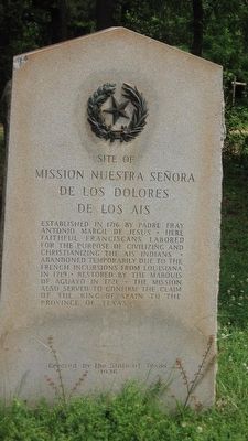
Site of Mission Nuestra Señora de Los Dolores de Los Ais
Photographed by Steve Gustafson, May 2, 2009
1. Site of Mission Nuestra Señora de Los Dolores de Los Ais Marker
Erected 1936 by State of Texas. (Marker Number 7627.)
Topics and series. This historical marker is listed in these topic lists: Colonial Era • Indigenous Peoples and Communities • Notable Buildings • Religion & Religious Structures. In addition, it is included in the Texas 1936 Centennial Markers and Monuments series list. A significant historical year for this entry is 1716.
Location. 31° 31.374′ N, 94° 6.948′ W. Marker is near San Augustine, Texas, in San Augustine County. It is on State Highway 147, on the left when traveling east. Touch for map. Marker is at or near this postal address: 701 South Broadway, San Augustine TX 75972, United States of America. Touch for directions.

Regionally, this marker is in the American South, specifically in the Deep South, and in the Piney Woods. Globally, it is in North America, a Gulf of Mexico state, the Western Hemisphere, the Western World, and the Anglosphere. Historically, it finds itself in what was once New Spain, the Republic of Texas, one of the Confederate States of America, and the Antebellum South.
Other nearby markers. At least 8 other markers are within walking distance of this marker: Kings Highway Camino Real — Old San Antonio Road (a few steps from this marker); James Pinckney Henderson (approx. half a mile away); St. Augustine Catholic Church (approx. half a mile away); San Augustine County Jail (approx. 0.6 miles away); Lewis Hotel (approx. 0.6 miles away);
this page online
More about this marker. On the grounds of the Mission Dolores Visitor Center.
Photographed by Jeff Leichsenring, April 23, 2023
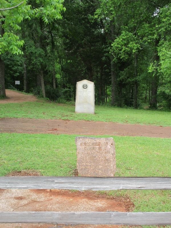
2. Site of Mission Nuestra Señora de Los Dolores de Los Ais Marker
Photographed by Jeff Leichsenring, April 23, 2023
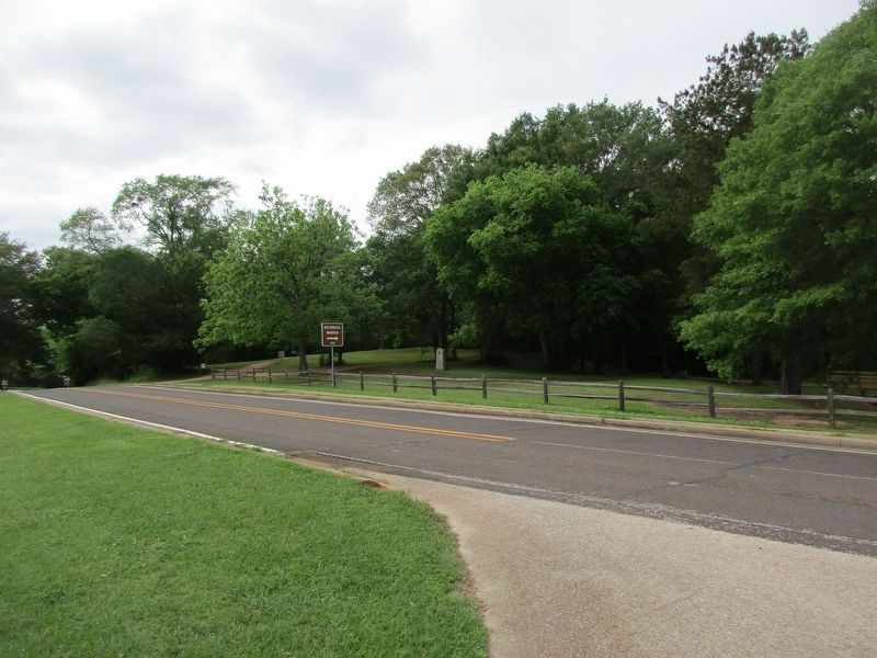
3. Site of Mission Nuestra Señora de Los Dolores de Los Ais Marker
Credits. This page was last revised on April 26, 2023. It was originally submitted on May 2, 2010, by Steve Gustafson of Lufkin, Texas. This page has been viewed 1,642 times since then and 36 times this year. Photos: 1. submitted on May 2, 2010, by Steve Gustafson of Lufkin, Texas. 2, 3. submitted on April 25, 2023, by Jeff Leichsenring of Garland, Texas. • Bill Pfingsten was the editor who published this page.
