
Bloomingdale in DuPage County, Illinois — The American Midwest (Great Lakes)
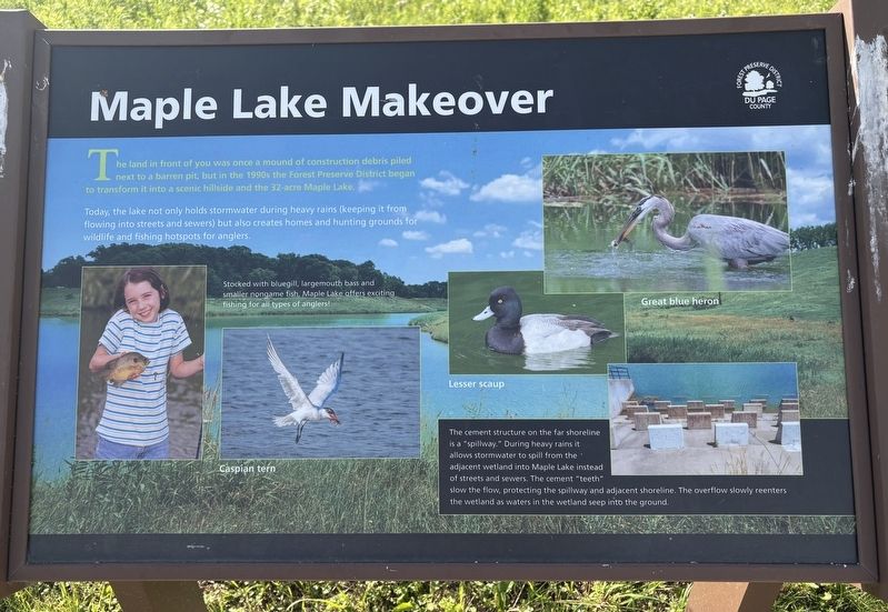
Maple Lake Makeover
Photographed by Sean P. Flynn, June 16, 2026
1. Maple Lake Makeover Marker
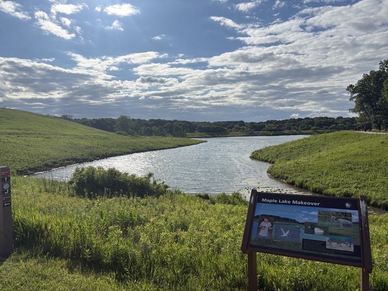
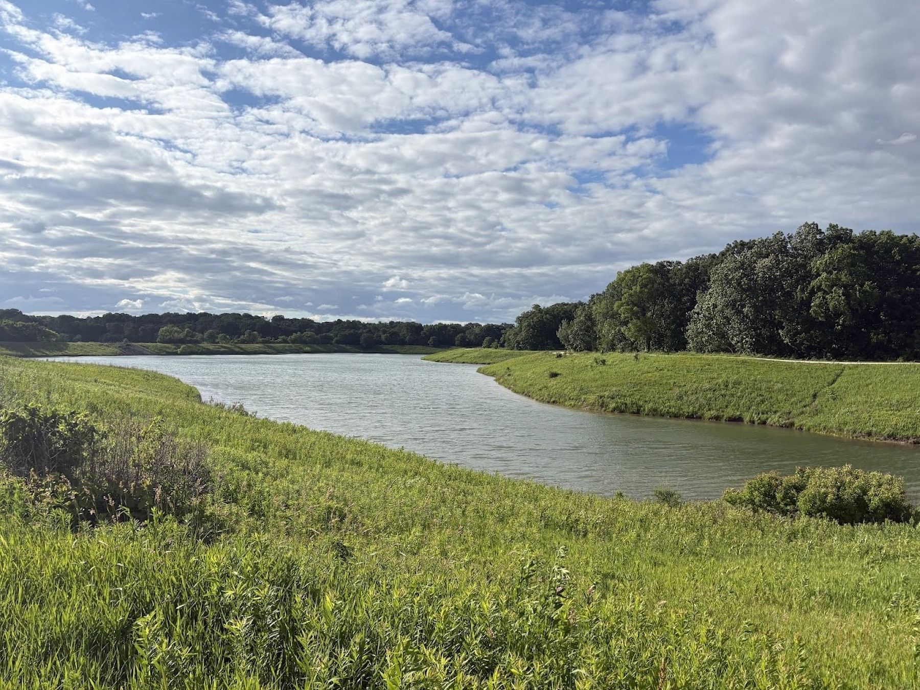
Today, the lake not only holds stormwater during heavy rains (keeping it from flowing into streets and sewers) but also creates homes and hunting grounds for widlife and fishing hotspots for anglers.
Stocked with bluegill, largemouth bass and smaller nongame fish, Maple Lake offers exciting fishing for all types of anglers!
The cement structure on the far shoreline is a "spillway." During heavy rains it allows stormwater to spill from the adjacent wetland into Maple Lake instead of streets and sewers. The cement "teeth" slow the flow, protecting the spillway and adjacent shoreline. The overflow slowly reenters the wetland as waters in the wetland seep into the ground.
Erected by Forest Preserve District of DuPage County.
Topics. This historical marker is listed in these topic lists: Animals • Parks & Recreational Areas • Waterways & Vessels. A significant historical year for this entry is 1995.
Location. 41° 57.715′ N,
this page online

Regionally, this marker is in Greater Chicago. It is also in the American Midwest and on the Great Lakes. Globally, it is in North America, the Western Hemisphere, the Western World, and the Anglosphere. Historically, it finds itself in what was once the territory of the Mississippian Culture and also the Northwest Territory.
Other nearby markers. At least 8 other markers are within 2 miles of this marker, measured as the crow flies: Veterans Memorial (approx. 0.4 miles away); Labyrinth Fun Facts (approx. 0.8 miles away); Bloomingdale's Farming History (approx. 1.1 miles away); Bloomingdale's Holstein Mill (approx. 1.1 miles away); Roselle-Bochnia Sisters Cities Peace Pole
Photographed by Sean P. Flynn, June 16, 2026
2. Maple Lake Makeover Marker
Also see . . .
1. Meacham Grove Forest Preserve.
Excerpt: "The Potawatomi were the sole inhabitants of the area that is now Bloomingdale until 1830, when the first white settlers arrived. In 1833, the Meacham brothers claimed 1,200 acres, mainly woodlands used for construction and fences. In 1920, the Forest Preserve District acquired 40 acres previously owned by the Meachams from the Heinberg family and created Bloomingdale Grove Forest Preserve, later renamed Meacham Grove. It acquired additional parcels in 1977 and the mid-1990s."(Submitted on June 17, 2026, by Sean P. Flynn of Oak Park, Illinois.)
2. Take a Hike: Meacham Grove Forest Preserve. (Submitted on June 17, 2026, by Sean P. Flynn of Oak Park, Illinois.)
Photographed by Sean P. Flynn, June 16, 2026
3. Maple Lake
Credits. This page was last revised on June 17, 2026. It was originally submitted on June 16, 2026, by Sean P. Flynn of Oak Park, Illinois. This page has been viewed 12 times since then. Photos: 1, 2. submitted on June 16, 2026, by Sean P. Flynn of Oak Park, Illinois. 3. submitted on June 17, 2026, by Sean P. Flynn of Oak Park, Illinois.
