Rochester in Fulton County, Indiana — The American Midwest (Great Lakes)
Lake Manitou and Tiptonville
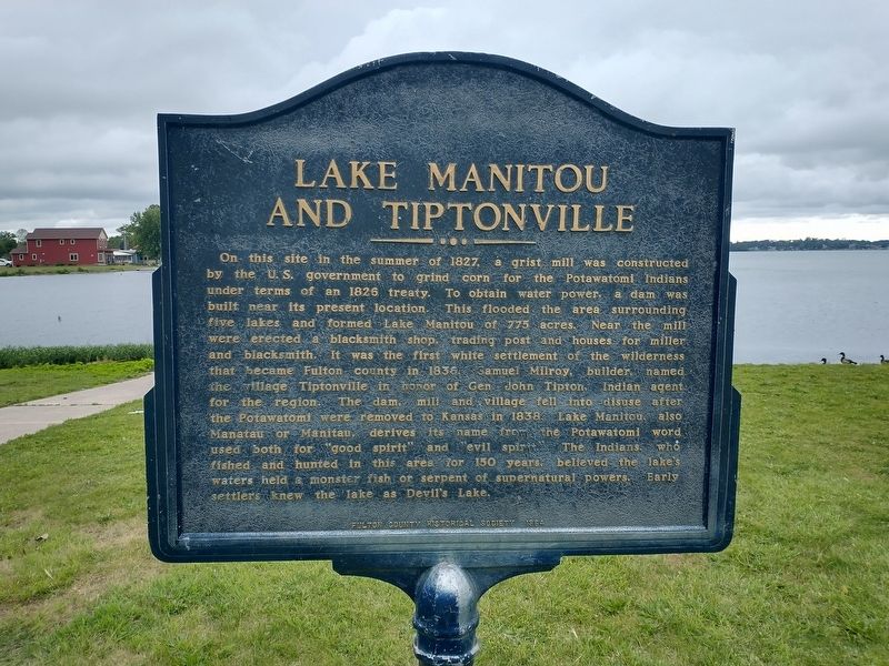
Photographed by Tom Bosse, June 14, 2026
1. Lake Manitou and Tiptonville Marker
Erected 1964 by Fulton County Historical Society.
Topics. This historical marker is listed in these topic
this page online
Location. 41° 3.602′ N, 86° 11.707′ W. Marker is in Rochester, Indiana, in Fulton County. It is on Ewing Road north of Jackson Boulevard, on the right when traveling north. Touch for map. Marker is at or near this postal address: 1305 Ewing Rd, Rochester IN 46975, United States of America. Touch for directions.

Regionally, this marker is in Northern Indiana. It is also in the American Midwest and in the Corn Belt. Globally, it is in North America, the Western Hemisphere, the Western World, and the Anglosphere. Historically, it finds itself in what was once the territory of the Mississippian Culture and also the Northwest Territory.
Other nearby markers. At least 8 other markers are within 2 miles of this marker, measured as the crow flies: Edward J. Fansler Pathways (approx. half a mile away); Honor Roll - Fulton County Indiana (approx. 1.1 miles away); Fulton County Courthouses (approx. 1.1 miles away); Revolutionary War Memorial (approx. 1.1 miles away); W. W. I War Memorial
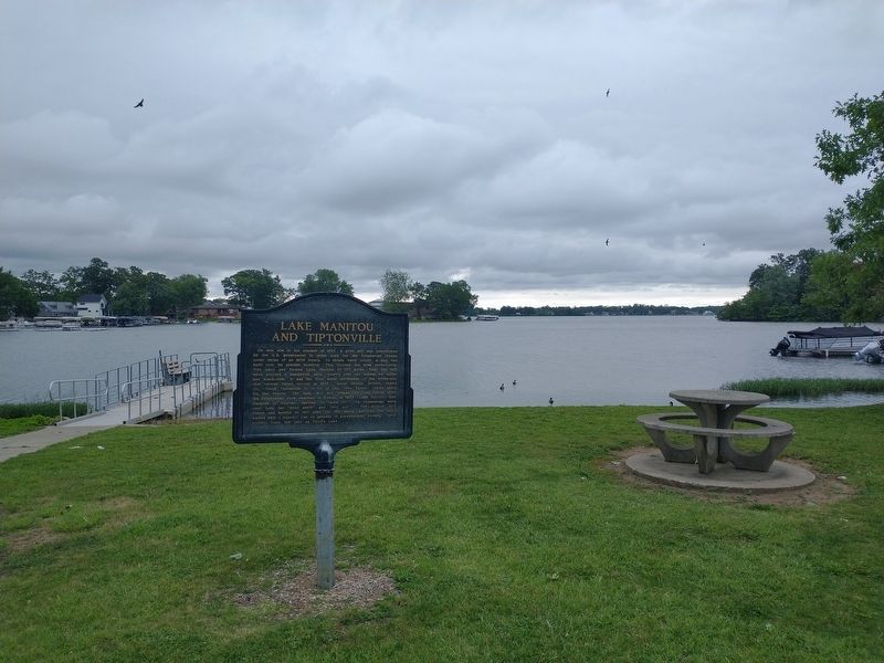
Photographed by Tom Bosse, June 14, 2026
2. Lake Manitou and Tiptonville Marker
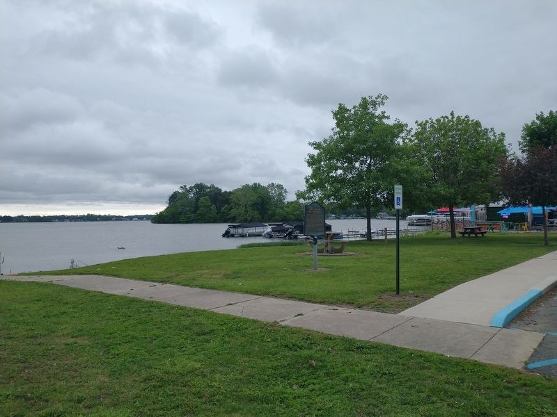
Photographed by Tom Bosse, June 14, 2026
3. Lake Manitou and Tiptonville Marker
Credits. This page was last revised on June 18, 2026. It was originally submitted on June 17, 2026, by Tom Bosse of Jefferson City, Tennessee. This page has been viewed 12 times since then. Photos: 1, 2, 3. submitted on June 17, 2026, by Tom Bosse of Jefferson City, Tennessee. • Devry Becker Jones was the editor who published this page.
