Moro in Sherman County, Oregon — The American West (Northwest)
Sherman County Jail
Exhibit
Photographed by Jimmy Emerson, August 2, 2011
1. Sherman County Jail Marker
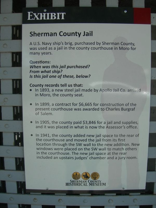
A U.S. Navy ship's brig, purchased by Sherman County, was used as a jail in the county courthouse in Moro for many years.
Questions:
When was this jail purchased?
From what ship?
Is this jail one of these, below?
County records tell us that:
• In 1893, a new steel jail made by Apollo Jail Co. arrived in Moro, the county seat.
• In 1899, a contract for $6,665 for construction of the present courthouse was awarded to Charles Burgraf of Salem.
• In 1905, the county paid $3,846 for a jail and supplies, and it was placed in what is now the Assessor's office.
• In 1941, the county added new jail space to the rear of the courthouse and moved the jail from its first location through the SW wall to the new addition. New windows were placed on the SW wall to match others in the courthouse. The new jail space at the rear included an upstairs judges' chamber and a jury room.
Erected by Sherman County Historical Museum.
Topics. This historical marker is listed in these topic lists: Law Enforcement • Waterways & Vessels. A significant historical year for this entry is 1893.
Location. 45° 28.96′ N, 120° 43.87′ W.
this page online

Regionally, this marker is in Eastern Oregon. It is also in the American Mountain West and in the Lewis & Clark Corridor. Globally, it is in North America, on the Pacific Rim, in the Western Hemisphere, in the Western World, and in the Anglosphere.
Other nearby markers. At least 7 other markers are within 15 miles of this marker, measured as the crow flies: Deschutes River Crossing Oregon Trail Kiosk (approx. 13.4 miles away); Deschutes River Crossing (approx. 13.7 miles away); First Sight of the Columbia River (approx. 13.8 miles away); Lewis & Clark Trail / Samuel Hill Bridge (approx. 14.9 miles away in Washington); Lewis & Clark Journals (approx. 14.9 miles away in Washington); Grain Elevators / The Oregon Trail (approx. 14.9 miles away in Washington); Loops Road (approx. 15 miles away in Washington).
Photographed by Jimmy Emerson, August 2, 2011
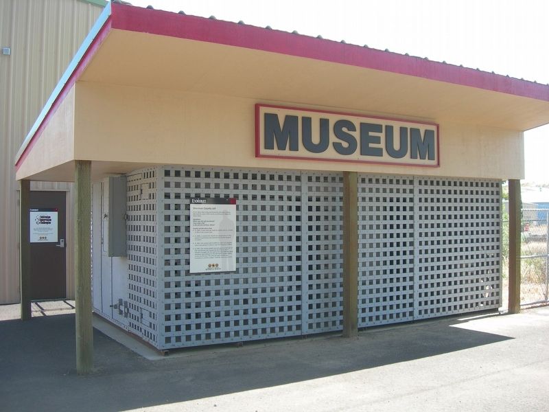
2. Sherman County Jail & Marker
Credits. This page was last revised on June 24, 2026. It was originally submitted on June 22, 2026, by Jimmy Emerson of Dalton, Georgia. This page has been viewed 15 times since then. Photos: 1, 2. submitted on June 22, 2026, by Jimmy Emerson of Dalton, Georgia. • James Hulse was the editor who published this page.
