
Durham in Strafford County, New Hampshire — The American Northeast (New England)
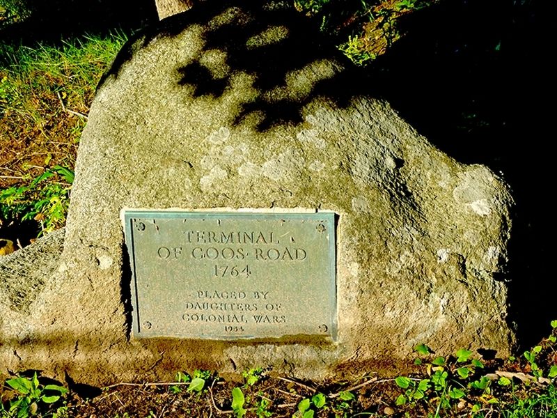
Terminal of Coos Road
1764
| — | Southern Terminus | — |
Photographed by Gerald Miller, June 24, 2026
1. Terminal of Coos Road 1764 Placed by the Daughters of Colonial Wars 1954 Marker
of Coos Road
1764
Placed by
Daughters of
Colonial Wars
1954
Erected 1954 by Daughters of Colonial Wars.
Topics and series. This historical marker is listed in these topic lists: Colonial Era • Roads & Vehicles. In addition, it is included in the Daughters of Colonial Wars series list. A significant historical year for this entry is 1764.
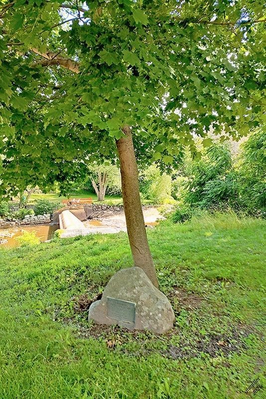
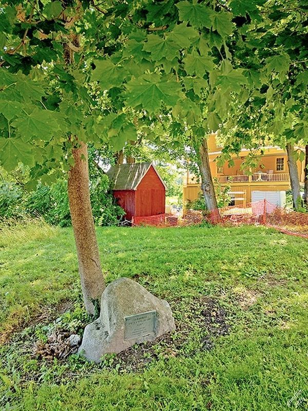
Location. 43° 7.872′ N, 70° 55.13′ W. Marker is in Durham, New Hampshire, in Strafford County. It is on Newmarket Road (New Hampshire Route 108) south of Mill Pond Road, on the right when traveling south. Touch for map. Marker is at or near this postal address: 14 Newmarket Road, Durham NH 03824, United States of America. Touch for directions.

Regionally, this marker is on New Hampshire’s Seacoast. It is also in the American Northeast, in New England, and on the Eastern Seaboard. Globally, it is in the North Atlantic Region, North America, the Western Hemisphere, the Western World, and the Anglosphere. Historically, it finds itself in what was once one of the original Thirteen Colonies.
Other nearby markers. At least 8 other markers are within 4
this page online
Another marker is no longer nearby. Oyster River Massacre (was within shouting distance of this marker but has been permanently removed).
Related markers. Click here for a list of markers that are related to this marker. This link lists both terminals, which you can then map.
Additional commentary.
1. The Coos Road
The Coos Road — also known as the Province Road — was the first major road built in colonial New Hampshire to connect the seacoast settlements around Portsmouth with the fertile agricultural lands of the upper Connecticut River valley, a region then
Photographed by Gerald Miller, June 24, 2026
2. Terminal of Coos Road Marker
The road's purpose was essentially economic. The colonial government was concerned that the rich alluvial farmlands along the Connecticut River oxbows — among the most productive in New England — were so remote from Portsmouth, then the provincial capital and dominant seaport, that farmers would route their produce southward into other colonies rather than supplying New Hampshire's own coastal population. The Province Road was the answer, giving the upper valley a direct overland link to market. Completed in the early 1770s, it subsequently became the Coos Turnpike. The northern terminus marker
Photographed by Gerald Miller, June 24, 2026
3. Terminal of Coos Road Marker
— Submitted July 1, 2026, by J. J. Prats of Powell, Ohio.
Credits. This page was last revised on July 1, 2026. It was originally submitted on June 24, 2026, by Gerald Miller of Hampton, New Hampshire. This page has been viewed 24 times since then. Photos: 1. submitted on June 24, 2026, by Gerald Miller of Hampton, New Hampshire. 2, 3. submitted on July 1, 2026, by Gerald Miller of Hampton, New Hampshire. • Michael Herrick was the editor who published this page.
