Near Abbeville in Abbeville County, South Carolina — The American South (South Atlantic)
Treaty of Lochaber
Photographed by Isaac, November 2, 2025
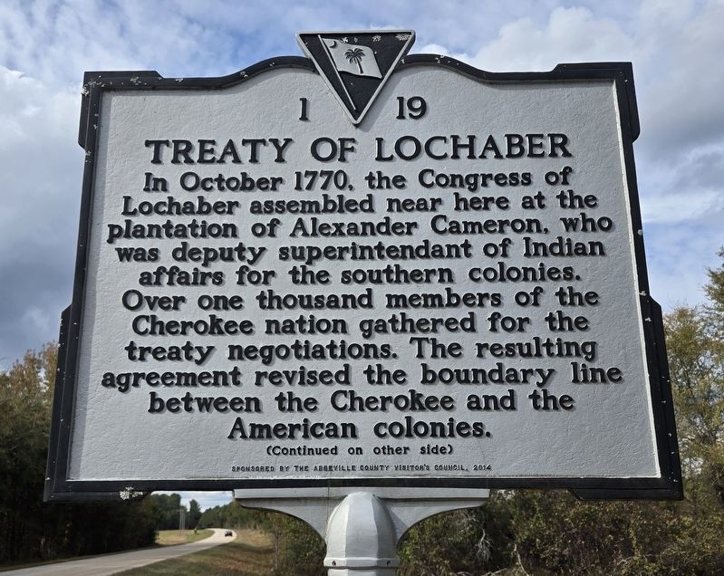
1. Treaty of Lochaber Marker
In October 1770, the Congress of Lochaber assembled near here at the plantation of Alexander Cameron, who was deputy superintendant of Indian affairs for the southern colonies. Over one thousand members of the Cherokee nation gathered for the treaty negotiations. The resulting agreement revised the boundary line between the Cherokee and the American colonies.
The new boundary, which became known as the Lochaber Line, extended colonial land claims west of the Appalachian Mountains. Disputes over western lands had generated tension between colonists and the crown since the Proclamation of 1763, which limited western settlement. The Treaty of Lachaber served to extend souther segment of the boiundary line further to the west.
Erected 2014 by South Carolina State Historic Preservation Office. (Marker Number 01-19.)
Topics. This historical marker is listed in these topic lists: Colonial Era • Indigenous Peoples and Communities • Settlements & Settlers. A significant historical month for this entry is October 1770.
Location. 34° 12.59′ N, 82° 30.354′ W. Marker is near Abbeville, South Carolina, in Abbeville County. It
this page online

Regionally, this marker is in Upstate. It is also in the American South and specifically in the Deep South. Globally, it is in North America, the Western Hemisphere, the Western World, and the Anglosphere. Historically, it finds itself in what was once the territory of the Mississippian Culture, one of the original Thirteen Colonies, one of the Confederate States of America, and the Antebellum South.
Other nearby markers. At least 8 other markers are within 8 miles of this marker, measured as the crow flies: William Bartram Trail (a few steps from this marker); First Burial in Long Cane Cemetery (approx. 6.6 miles away); Long Cane Cemetery (approx. 6.6 miles away); Forest Lawn Memory Gardens Veterans Monument (approx. 7 miles away); Harbison College President's Home (approx. 7.1 miles away); W.D. Nixon Bridge (approx. 7.1 miles away); Thomas Chiles Perrin House (approx. 7.3 miles away); Abbeville's Confederate Colonels

Photographed by Isaac, November 2, 2025
2. Treaty of Lochaber Marker
Credits. This page was last revised on July 20, 2026. It was originally submitted on June 25, 2026, by Isaac of Athens, Georgia. This page has been viewed 16 times since then. Photos: 1, 2. submitted on June 25, 2026, by Isaac of Athens, Georgia. • Bernard Fisher was the editor who published this page.
Editor’s want-list for this marker. Wide shot of marker and its surroundings. • Can you help?
