Near Independence in Autauga County, Alabama — The American South (East South Central)
James Jackson Family Cemetery
Autauga County

Photographed by Jimmy Emerson, June 24, 2026
1. James Jackson Family Cemetery Marker
The James Jackson Cemetery is the final resting place of James Jackson, one of the earliest White settlers in old Autauga County. He settled in the area in 1817, when Alabama was still a territory. He established a large plantation, Auburn Hill, near what was once the thriving town of Independence in western Autauga County. James Jackson was born August 10, 1773, in Wilkes County, GA. He died July 19, 1832, at his plantation and was buried in the family cemetery along with some of his children. James Jackson married Temperance Motley, daughter of Robert Motley and Nancy Daniel. Their children included: (1) Nancy D. Jackson (1797-1857), wife of Lunceford Long; (2) Absalom Jackson (1805-1870); (3) Walter Clark Jackson (1808-1826), buried in the family cemetery; (4) James Wilson Jackson (1813-1832), buried in the family cemetery; (5) Gen. Crawford Motley Jackson (1817-1860), who represented Autauga County in the State House, served as Speaker of the House in 1857, and is buried in Oakwood Cemetery in Montgomery; and (6) Oliver Perry Jackson (1820-1822), whose grave is the oldest grave in the James Jackson Cemetery.
this page online
Erected 2026 by Old Autauga Historical Society and Alabama Historical Commission.
Topics. This historical marker is listed in these topic lists: Cemeteries & Burial Sites • Settlements & Settlers • Women. A significant historical year for this entry is 1822.
Location. 32° 32.843′ N,

Photographed by Jimmy Emerson, June 24, 2026
2. James Jackson Family Cemetery Marker

Regionally, this marker is in the Tri-Counties River Region. It is also in the American South, specifically in the Deep South, and in the Black Belt. Globally, it is in North America, a Gulf of Mexico state, the Western Hemisphere, the Western World, and the Anglosphere. Historically, it finds itself in what was once New Spain, the territory of the Mississippian Culture, one of the Confederate States of America, and the Antebellum South.
Other nearby markers. At least 8 other markers are within 8 miles of this marker, measured as the crow flies: Old Harmony Cemetery (approx. 4.2 miles away); Milton (approx. 6 miles away); Old Kingston Historical Cemetery (approx. 6.6 miles away); Greater Mallard's Chapel A.M.E. Church Cemetery (approx. 7.3 miles away); Old Mulberry Schoolhouse (approx. 7.3 miles
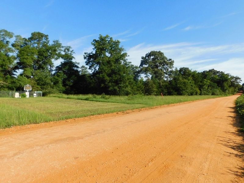
Photographed by Jimmy Emerson, June 24, 2026
3. James Jackson Family Cemetery & Marker
More about this marker. Marker was dedicated March 14, 2026
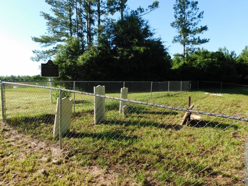
Photographed by Jimmy Emerson, June 24, 2026
4. James Jackson Family Cemetery & Marker
Credits. This page was last revised on June 26, 2026. It was originally submitted on June 25, 2026, by Jimmy Emerson of Dalton, Georgia. This page has been viewed 50 times since then. Photos: 1, 2, 3, 4. submitted on June 25, 2026, by Jimmy Emerson of Dalton, Georgia. • James Hulse was the editor who published this page.
