Near Touchet in Walla Walla County, Washington — The American West (Northwest)
The Lewis and Clark Expedition
Camp of April 30, 1806

Photographed by Clayton Pickett, December 6, 2025
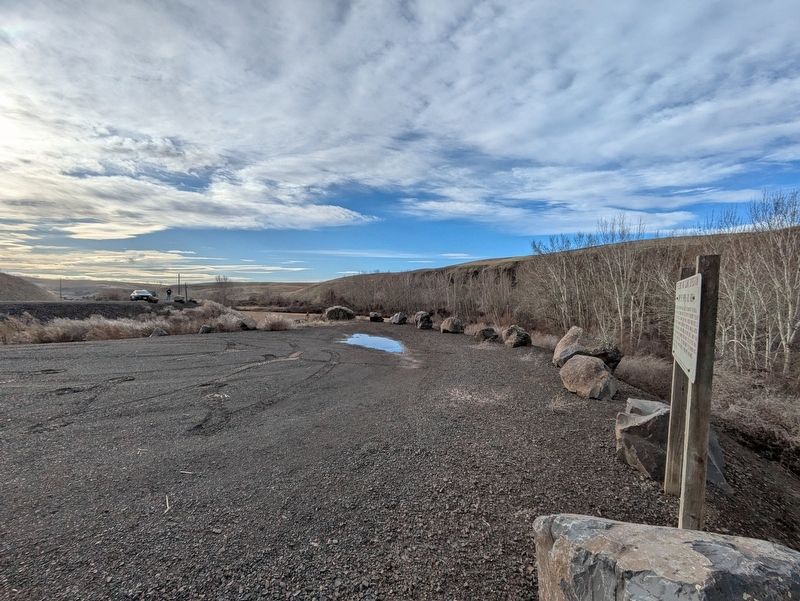
1. The Lewis and Clark Expedition Marker
After leaving their camp one mile above the mouth of the Walla Walla River, on the Columbia River, the Corps of Discovery followed a good road over level country that would shorten their route to the Kooskooskie (Clearwater) River. The Expedition traveled across what is now Walla Walla County, through an open level sandy plain which featured many large banks of pure sand, 15 to 30 feet high, which are still visible today. They soon came to the narrow bottom of a bold creek (Touchet River) 10 yards wide, and made camp near this site.
Erected 1997 by William Grant for property donation, Steve C. Plucker for sign donation, and Walla Walla County Public Works Department for turnout construction.
Topics. This historical marker is listed in these topic lists: Exploration • Roads & Vehicles • Waterways & Vessels. A significant historical date for this entry is April 30, 1806.
Location. 46° 11.677′ N, 118° 38.486′ W. Marker is near Touchet, Washington, in Walla Walla County. It is on Touchet North Road 7.4 miles south of Washington Route 124, on the right when traveling south. Touch for map. Marker is in this post office area:
this page online

Regionally, this marker is in the Columbia Basin. It is also in the American Mountain West and in the Lewis & Clark Corridor. Globally, it is in North America, on the Pacific Rim, in the Western Hemisphere, in the Western World, and in the Anglosphere.
Other nearby markers. At least 8 other markers are within 12 miles of this marker, measured as the crow flies: Battle of Walla Walla (within shouting distance of this marker); Johnson Bridge (approx. 5 miles away); Dangerous Rapids (approx. 10.4 miles away); French-Canadian Cabin Design (approx. 11.8 miles away); Hudson's Bay Company (approx. 11.8 miles away); Welcome to the Prince's Cabin (approx. 11.8 miles away); The Prince (approx. 11.8 miles away); Local Tribes (approx. 11.8 miles away). Touch for a list and map of all markers in Touchet.
Photographed by Clayton Pickett, December 6, 2025
2. The Lewis and Clark Expedition Marker
Credits. This page was last revised on June 26, 2026. It was originally submitted on June 25, 2026, by Clayton Pickett of Richland, Washington. This page has been viewed 18 times since then. Photos: 1, 2. submitted on June 25, 2026, by Clayton Pickett of Richland, Washington. • James Hulse was the editor who published this page.
